

Listen to this article
Estimated 2 minutes
The audio version of this article is generated by AI-based technology. Mispronunciations can occur. We are working with our partners to continually review and improve the results.
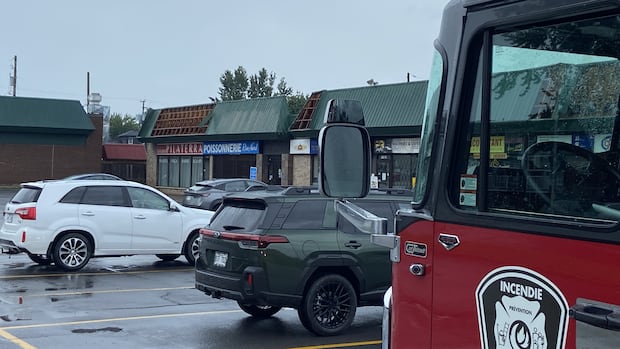
From fallen branches, to uprooted trees and damaged roofs, residents in Repentigny were surveying the damage Sunday afternoon after a possible tornado hit the city, located northeast of Montreal
Environment Canada meteorologist Frédéric Boulay said a video online shows what he described as a “pretty small” and brief tornadic circulation seen in front of a car.
Coupled with the apparent damage, Boulay said it indicates a “possible tornado of weak intensity” may have touched down at around 2 p.m.
“It might have formed in Varennes before crossing the St. Lawrence River,” he said.
At the time of the weather event, Environment Canada radar data, showed heavy precipitation in the area, but not strong winds.
“We don’t see anything above 20 kilometres an hour,” Boulay said “We wouldn’t send a tornado warning with that weak of a signature.”
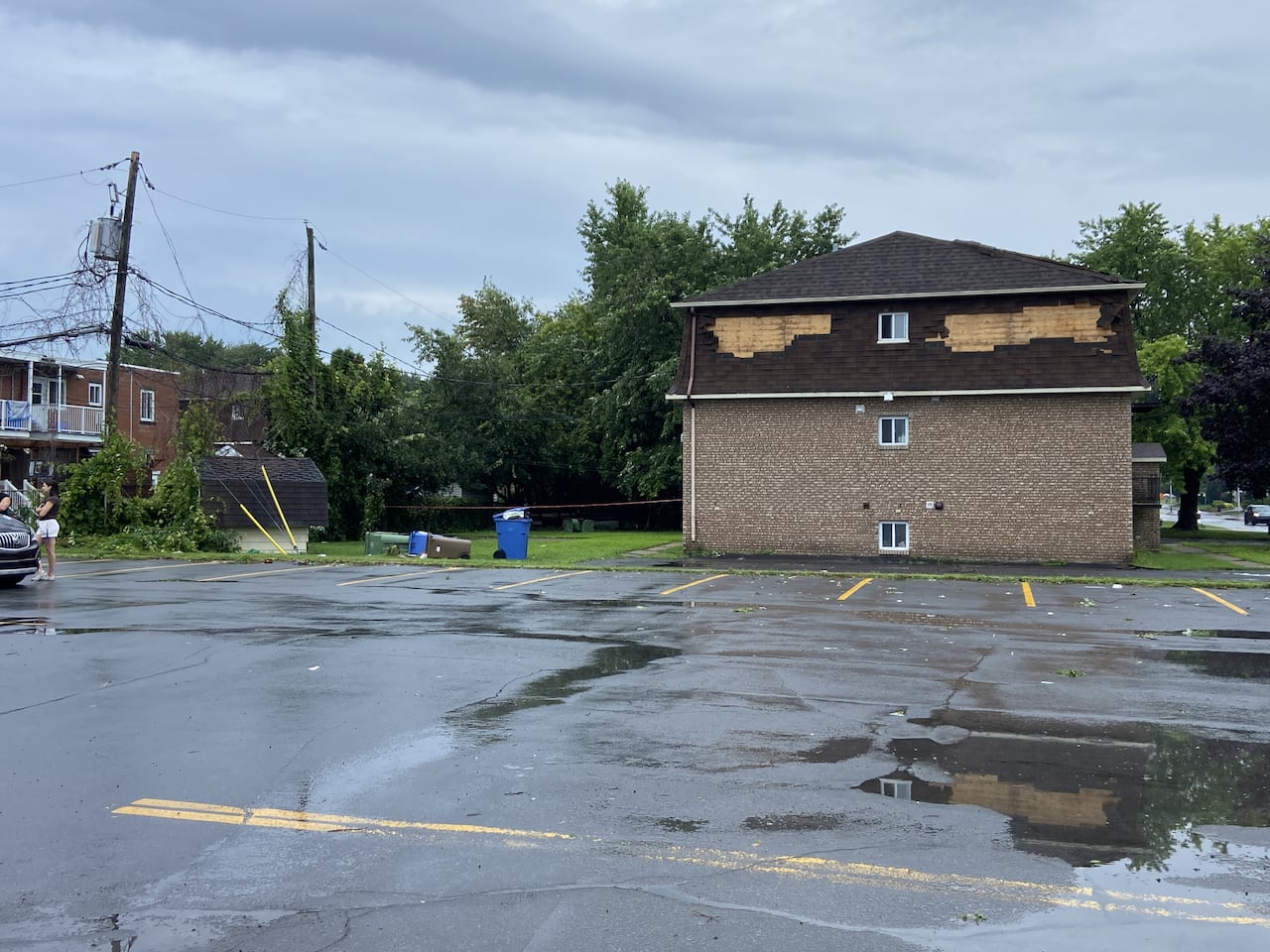 Shingles were torn off a home after a storm swept through Repentigny Sunday afternoon. (Bruno Lavoie/Radio-Canada)
A severe thunderstorm watch issued early Sunday for parts of southern Quebec, including Montreal remained in effect Sunday evening.
Boulay said that more stormy weather is possible for Monday afternoon.
The weather agency said it will wait for the Northern Tornadoes Project to investigate Sunday’s possible tornado.
The NTP has confirmed a storm on July 21 over southern Quebec produced two tornadoes, one in Harrington and another in Saint-Donat.