
Ainslie Creek wildfire showing growth on southwest flank in Fraser Canyon
Published 3:06 pm Saturday, August 15, 2026
There have been no new evacuation orders or alerts issued since Aug. 11 in response to the Ainslie Creek wildfire, which continues to burn out of control between Highway 1 in the Fraser Canyon and Highway 5 (Coquihalla).
As of Saturday (Aug. 15), the fire was estimated at 64,674 hectares. At its northeastern tip the fire is burning towards Highway 8 at Nooaitch, while on the southeast it is burning towards Highway 5. Both highways remain open at this time, but could close suddenly and with little to no notice, and smoke could cause decreased visibility. Check DriveBC for highway closure information.
The fire has caused the closure of Highway 1 through the Fraser Canyon, which is closed between Toll Road (Yale) and Aspen Road, just south of Boston Bar, due to wildfire danger and falling debris, which is impacting the highway.
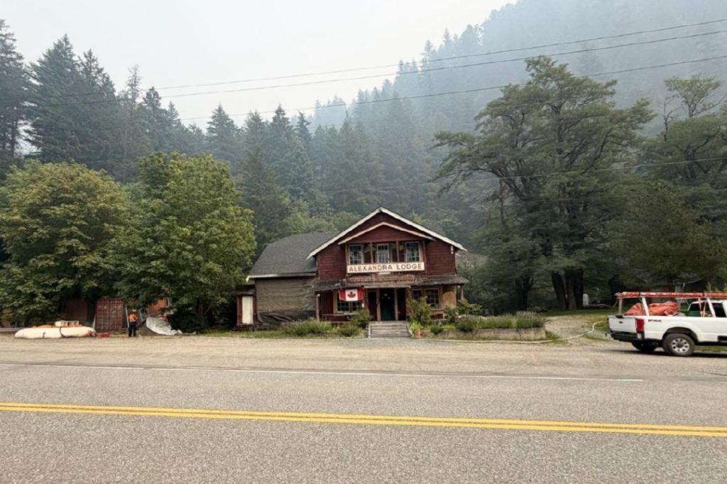
Overnight on Aug. 14/15 there was increased fire behaviour in the Fraser Canyon south of Hell’s Gate, with the fire burning at Rank 3 and 4 towards Spuzzum and growing towards the south. The fire is now approximately 2.5 kilometres north of Alexandra Bridge at higher elevation.
The fire has crossed the guard at Guilt Creek and is continuing to push south towards the primary guard and Alexandra Bridge. Structure protection crews are in place to protect values and support wildland fire crews in keeping the fire from crossing Highway 1.
Heavy smoke is limiting the use of aviation equipment, but helicopters will be bucketing when visibility allows, in order to suppress the most active areas on the southwest flank.
On the northeast flank near Highway 8, crews and equipment are having success extending a guard from the Edgar FSR to the Hooshum FSR in order to prevent growth to the south. Structural protection remains in place in the Prospect and Nooaitch area.
On the southeast flank, crews — with heavy support from helicopter bucketing — continue to work on the west side of Maka Creek. Heavy equipment continues to work on a guard running from Fig Lake to the north and then south of the properties along Patchett Road.
Structure protection crews continue to assess and work further from the fire to the east and south into Brookmere and Kane Valley Road.
An Area Restriction is now in effect surrounding the Ainslie Creek wildfire. Recreational off-road vehicle use has been prohibited across several fire centres, including the area covered by the Ainslie Creek fire.
Drivers along nearby roads and highways are reminded that crews and heavy machinery are working and travelling throughout the area. Please moderate your speed, and do not enter any restricted areas unless authorized to do so.
For information about all evacuation orders and alerts issued in response to the Ainslie Creek wildfire, go to EmergencyInfoBC. For information about the current wildfire situation throughout the province, visit the BC Wildfire Service map.