
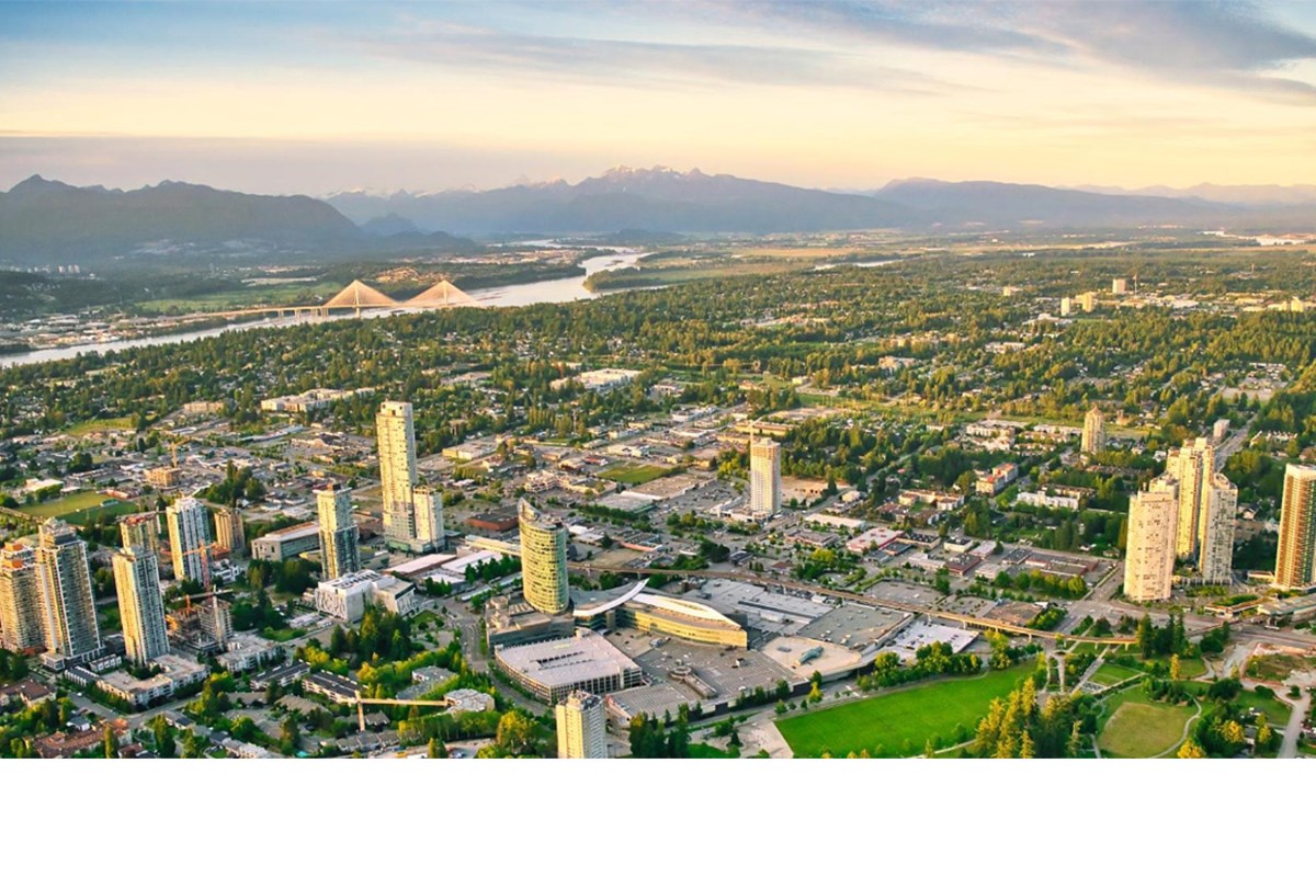
The goal is investment attraction and development promotion by showcasing major projects, infrastructure investments and growth opportunities
The City of Surrey wants to better visually highlight and promote all the changes planned or already underway in its high growth areas.
The city has issued a request for bids for a firm to bring visualization to the next level, noting the Economic Investment Services Division is seeking a solution that implements an interactive development visualization platform to showcase major development projects, civic investments, and key destination assets.
The intent is to enhance investment attraction, development promotion and tourism storytelling through a visually compelling, map-based experience.
Noting Surrey is one of Canada’s fastest-growing cities and is experiencing significant development activity across multiple town centres and emerging growth areas, the city says there is an increasing need for modern visualization tools that effectively communicate the scale and impact of development projects.
“Currently, information related to major developments, infrastructure investments, and community amenities is communicated primarily through static maps, renderings, websites, and PDF documents. While effective for information sharing, these tools do not provide a comprehensive and immersive experience for investors, developers, or prospective businesses,” the city explains in its request for proposals.
The city wants to develop a pilot visualization platform focused on major development projects in such high growth areas as Surrey City Centre, the Campbell Heights Industrial Park and Fleetwood Town Centre, Cloverdale Town Centre and Newton Town Centre.
The city also wants to be able to better showcase investment opportunities alongside information such as transit, infrastructure, amenities and accessibility.
Another goal is to improve the city’s place-branding capabilities through enhanced visual storytelling.
The key platform abilities sought include interactive 3D representations of selected buildings and development projects, an ability for users to explore projects at different geographic scales and levels of detail, as well as transit and transportation overlays, amenity and accessibility information and distance and proximity analysis tools.