
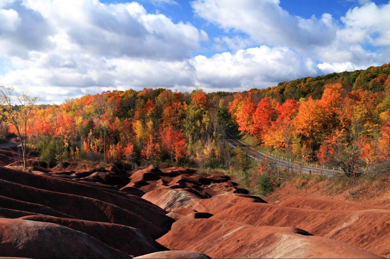
The autumn turn of leaves has begun after a delay this year due to warmer weather, and there are plenty of place around Brampton and Caledon where you can take in the seasonal colours.
From Instagram-worthy views to trails for hiking and biking, Peel Region has plenty of destinations for your autumnal adventures. Visitors are encouraged to keep safety in mind when exploring around Brampton and Caledon, whether you’re in the area for a hike or a drive to see the changing colours.
Claireville Conservation Area Trail
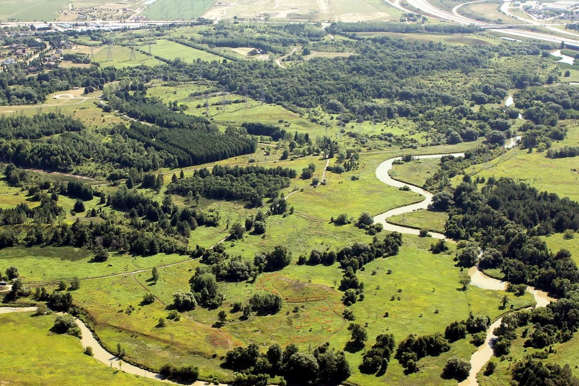
The Claireville Conservation Area is 540 hectares of natural and forested area that straddles Peel Region and Toronto. The City of Brampton and Toronto and Region Conservation Authority (TRCA) christened the new Claireville North Multi-Use Trail in 2024, adding another 3.7 kilometres to Brampton’s more than 600 kilometres of cycling, hiking and walking paths and trails.
Trail upgrades include two new pedestrian bridges that cross over the West Humber River, a fully accessible parking area and two new community trail connections, the new trail gives residents easier access to one of Brampton’s largest greenspaces.


There’s a temporary bridge closure in place this year and a portion of the road and trail network is closed, the TRCA says. Only the Vista Trail is accessible from the Highway 50 parking lot.
Visitors can use the Queen Street entrance at 3805 Queen St. East to access the rest of the trail network and the Nature Centre.
Cheltenham Badlands
Last 30 Days: 53,766 Votes
All Time: 1,581,227 Votes
2137 VOTES
Would you take a self-driving taxi?
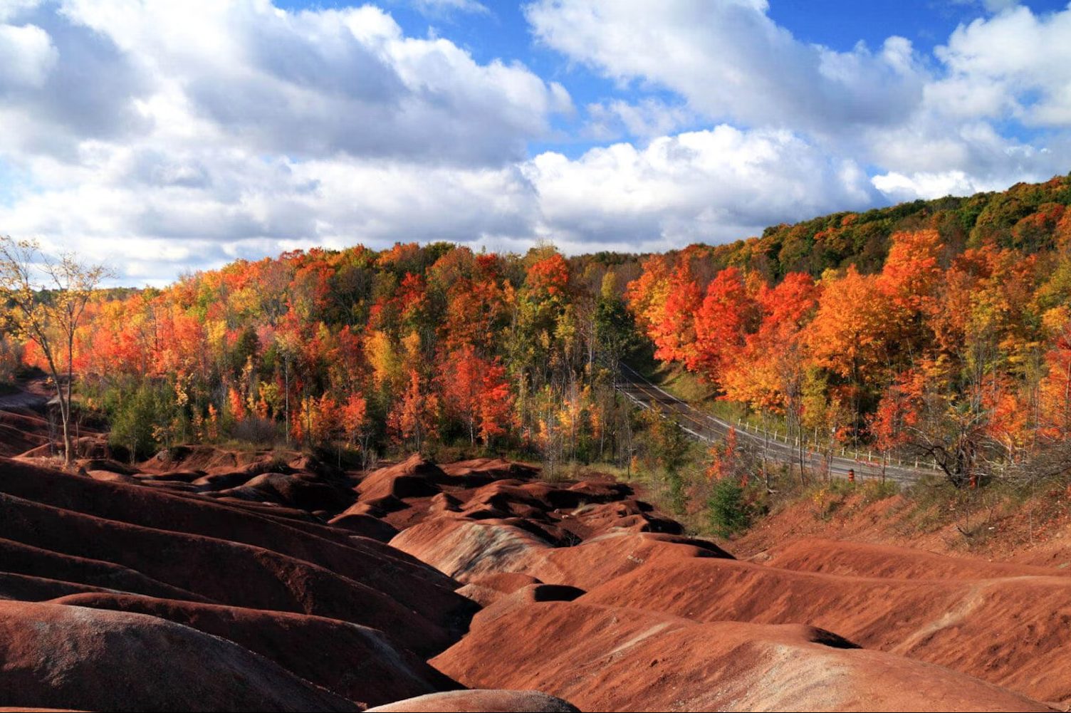
Formed at the base of an ancient sea about 450 million years ago, the Cheltenham Badlands have some of Ontario’s most unique geological formations.
This 36-hectare site reopened in 2018 and features part of the Bruce Trail, the Badlands trail and a viewing platform which extends across a portion of the Badlands to ensure its protection. But keep in mind that walking on the Badlands itself is strictly prohibited.
Entrance fees are charged per vehicle, and all transactions must be made through ParkPass. Most bookings are for 90 minutes to three hours, and fees run from $10 plus taxes on Monday through Friday to $35 plus taxes.
Mono Cliffs Provincial Park
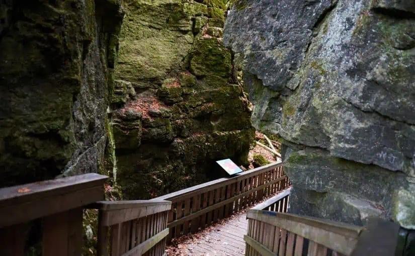
Located a short 45 minute drive north of Brampton, Mono Cliffs Provincial Park in the town of Mono offers some stunning views and hiking trails, as well as bike paths, mountain biking trails and even horseback riding trails.
You can take a walk through the canyon on the spillway trail, or past 30-metre cliffs on the cliff top trail. In the winter months guests can also try out skiing and snowshoeing on hiking trails. The park is open year-round for day-use visits.
Heart Lake Conservation Area
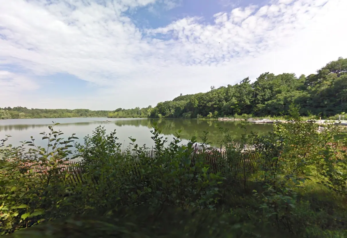
The Heart Lake Conservation is one of the city’s most beautiful natural backdrops as you explore the trails and take in the park amenities. There’s also a Fitness Trail with outdoor exercise stations and the Treetop Trekking zipline and aerial games. Heart Lake Conservation Park is open through to Nov. 1. Parking fees start at $26.20.
Etobicoke Creek Trail
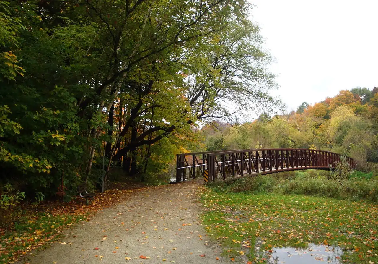
This recreational trail is one of the area’s most popular, and runs along the natural border between Mississauga and Toronto. The trail is in the river bed area of the Etobicoke Creek, stretching from the 401 in the north to Ponytail Drive in the south.
A two-kilometre-long connection fills a gap in the trail between Brampton and Mississauga, allowing safe passage under Highway 407 and Highway 410 from the Kennedy Road Trail entrance to the city limit.
INSAUGA Canada’s Editorial Standards and Policies
Stay in the know.
Subscribe now to receive our daily email of today’s top stories in your city!