
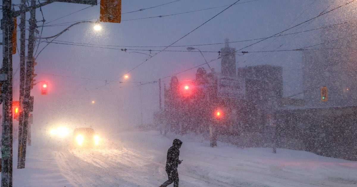
Experts say this winter will be a super El Niño and it could be the strongest on record. Noah Rishaug finds out what that means for the Edmonton region.
Whispers of an unusually early polar vortex disruption at the Arctic are keeping local meteorologists curious, but not concerned.
According to The Weather Network, the winds that make up the vortex at the top of the North Pole may weaken months ahead of schedule and spill cold air onto the Earth’s surface, leading to cooler temperatures across the Northern Hemisphere.
But weather experts aren’t sure when it’ll happen, where it’ll happen or if it would even happen at all.
“That could be Canada. That could be somewhere in Europe. It may not happen at all,” Kelsey McEwen, CTV’s Your Morning chief meteorologist.
Meteorologists are monitoring the flow and direction of winds, but can’t guarantee if or when the vortex will weaken, and, if it does, what that impact could look like for Canada.
“It’s tricky to know for sure,” McEwen said, adding that it may not be until the first week of November when meteorologists will know more. “It’s a possibility that can play into the winter forecast.”
Whether or not the vortex could mean chillier temperatures, it wouldn’t change how Canadians prepare for winter, according to Dr. Christoph Gatzen.
“It’s not something that keeps me up at night,” Gatzen, a research meteorologist at Western University, told CTVNews.ca. “It’s not a really dramatic change in the weather imminent.”
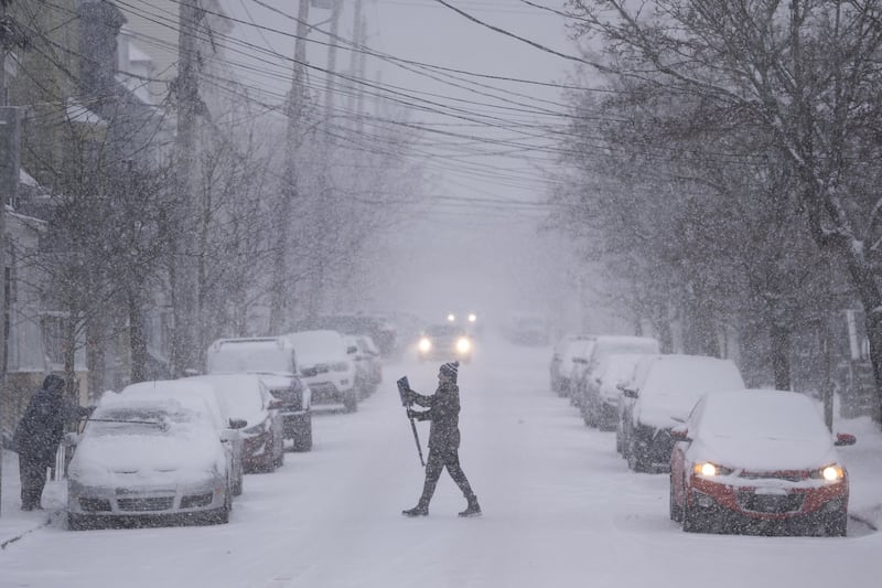 A pedestrian crosses the road with a snow brush as high winds and heavy snow blanket Halifax, Wednesday, Jan. 29, 2025. THE CANADIAN PRESS/Darren Calabrese A pedestrian crosses the road with a snow brush as high winds and heavy snow blanket Halifax, Wednesday, Jan. 29, 2025. THE CANADIAN PRESS/Darren Calabrese How a polar vortex works
McEwen described the vortex as a “spinning top” above the North Pole.
“It’s this band of winds circling cold air high above the Arctic (in the stratosphere),” she said.
The stratosphere is the second-lowest layer of the Earth’s atmosphere and sits roughly 10 to 50 kilometres above the planet’s surface.
The vortex typically strengthens during the winter time when the Arctic is losing sunshine.
Upward wave activity from the atmosphere could cause the “spinning top to start to wobble,” McEwen said, and subsequently the air around it can warm rapidly.
“It’s something we call sudden stratospheric warming,” McEwen said.
That “disturbance” can influence the jet stream of cold air and where it “topples towards the atmosphere below,” she added, dramatically cooling down temperatures on the surface.
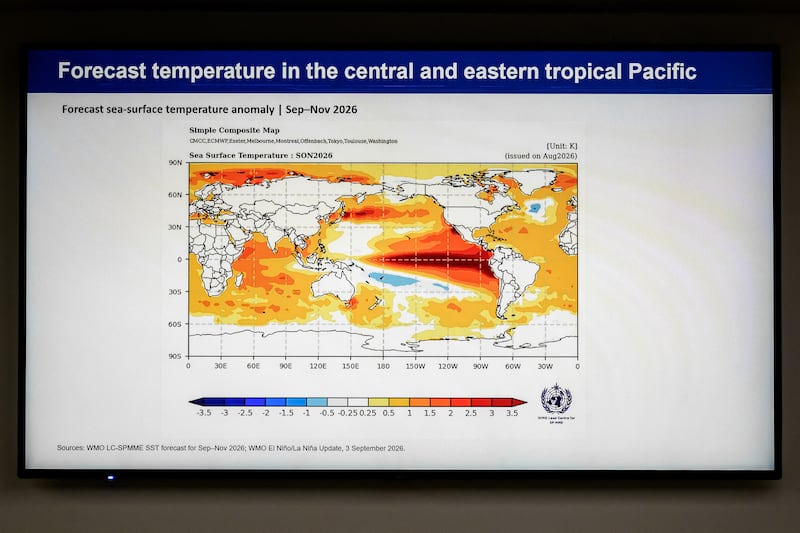 SWITZERLAND-WEATHER-CLIMATE-WMO-ELNINO This photograph shows presentation slide displayed during a press conference on El Nino update by the World Meteorological Organization (WMO), in Geneva on Sept. 3, 2026. (Photo by Fabrice COFFRINI / AFP via Getty Images) Earlier stratospheric warming and El Niño
Stratospheric warming typically happens between January and March, but last year, meteorologists noticed an event occurring in November.
“It’s not very likely it happens this early in the season,” Gatzen said.
It’s possible that the emerging El Niño phenomenon, described to be the strongest on record, could have played a part in weakening the polar vortex, but Gatzen cautioned against making an explicit link.
Weather in the troposphere, located below the stratosphere, could also play a part.
“It’s very difficult to find out which influence here is significant,” he said.
Temperature differences
If the vortex does weaken and if the weakening does impact temperatures in Canada, meteorologists say the temperature difference may depend on how cold it already is in the region.
Regions with colder temperatures could see temperatures steep well below 0 C, McEwen said, in comparison to warmer regions where the cold air could be “less intense.” .
“But it’s tough to know,” she said.
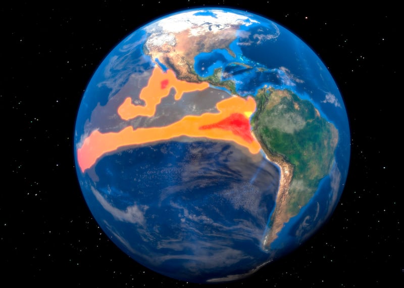 El Nino, illustration El Nino is the warm phase of the El Nino/La Nina Southern Oscillation (ENSO) that occurs across the tropical Pacific Ocean roughly every five years. The ENSO affects weather systems across the world, bringing extreme weather such as floods and droughts. El Nino generally causes drier conditions in Australia and South-East Asia, and wetter and warmer conditions in the Americas. El Niño a better indicator of winter season
Most meteorologists have concluded that this year’s El Niño will be the strongest ever-recorded, with some calling it the “Godzilla” of El Niños.
McEwen suggested that it will be a bigger factor in determining this year’s winter season.
Last year, the early polar vortex weakening had coincided with the La Niña phenomenon, which is typically associated with colder-than-average winters.
“Because we had that global atmospheric setup,” she said, “we were set to see that … more wintry winter that we had last year.”
El Niño generally brings milder winters to Canada, which might mix differently with the cold air of the vortex.
“Your guess is as good as mine at this point of how long it’ll last,” McEwen said of any cold spells that may result from the combination.
Prepare like its any other winter
An early weakening may be “notable” but it’s not concerning, both meteorologists said.
At this time of year, most Canadians are already preparing for the winter season, Gatzen said.
“You change your tires, prepare for snow,” he added.
Currently, the polar vortex hasn’t even amounted to a water-cooler conversation because it’s too early to tell what could happen, he said.
McEwen advised following the fundamental rules of seasonal changes.
“I can tell you for sure, winter will be colder than summer, and I can tell you probably this winter will be milder than last winter,” she said. “But either way, you’re going to need a winter coat. You’re going to need your boots, and you’re probably going to shovel.”
Related Stories