
The North Shore mountains could see a fresh helping of snow.
Get your boots and umbrellas ready.
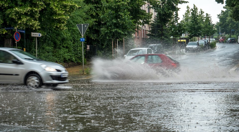
The Metro Vancouver weather forecast calls for plenty of rain this week.
Roughly three systems are expected to bring heavy rain and wind to the region starting Wednesday (Nov. 4), according to Environment Canada meteorologist Steve Boily.
“The snow level is a little high right now. It’s close to 2,000 meters, but it’ll go down ahead of those systems. We could see some more snow to the North Shore mountains with those systems all week,” he says.
Overnight Wednesday and into Thursday, the region could receive 10 to 15 millimetres of precipitation. But Friday’s storm should bring the highest rainfall, with amounts ranging between 25 and 30 mm.
Metro Vancouver weather forecast
On Saturday, another system will bring more rain.
“These systems are associated with a low that is quasi-stationary over the northeast Pacific Ocean — so, south of Alaska there — affecting mostly the northwest coast of B.C.,” he says. “It is mostly a series of cold fronts associated with this low rotating and bringing another round after round, but with breaks in between.”
Boily clarifies that a “cold front” doesn’t necessarily mean cold temperatures.
“It’s not necessarily the temperature change that characterizes them, but the shift in winds when they pass, and then the precipitation, enhanced precipitation that are associated with the passage of those fronts,” he says.
The winds associated with the fronts likely won’t reach warning criteria but could blow 40 kilometres per hour gusting to 60 km/h.