
![]()
Listen to this article
Estimated 3 minutes
The audio version of this article is generated by text-to-speech, a technology based on artificial intelligence.
Ontario plans to reduce the number of conservation authorities from 36 down to seven.
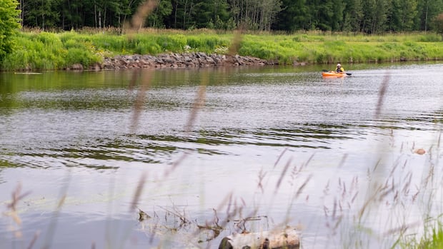
These authorities monitor water levels and erosion, manage recreation, teach people about the environment and more.
In a statement, the government said more than half of municipalities fall under two conservation authorities, making situations more difficult for them.
“Right now, Ontario has 36 conservation authorities operating largely on their own, with fragmented and outdated data systems and a patchwork of standards and service delivery,” said Environment Minister Todd McCarthy on Oct. 31.
Its current plan wouldn’t cut out all of the duplication: the province writes that about 63 per cent of the overlap would be reduced.
The proposed changes would be more efficient for communities, the province said, while keeping the same funding and mandate.
There are environmental concerns about what the consolidation will mean.
“No one wants inefficiency, but I think everyone wants permits to be issued in a way that does protect people, their homes, their businesses from risks,” said Tim Gray, executive director of Environmental Defence.
“As we know with climate change and the rain events that we get more and more, they’re more and more intense.”
He said the proposals could mean less access to expert knowledge around flood risks, human health and where to build.
The detailed plans have been posted for public comment until late December.
7 proposed Regional Conservation Authorities
Central Lake Ontario
Covers most of Toronto and much of the surrounding area from York Region through to Peel Region, Durham and part of the Kawarthas. Brampton and Mississauga are partly included.
Eastern Lake Ontario
Covers areas draining into eastern Lake Ontario and the Bay of Quinte. This would include Belleville, Oshawa and Peterborough.
Huron-Superior
Covers watersheds including Lake Huron’s northern shore and the Lake Superior basin. This would be the authority for Barrie, Owen Sound and Thunder Bay.
Lake Erie
Covers southwestern Ontario, including watersheds draining into Lake Erie. This would include Kitchener-Waterloo, London, Sarnia and Windsor, plus some of Hamilton.
Northeastern Ontario
Spans parts of Northern Lake Huron and the Upper Ottawa River systems, including North Bay, Sault Ste. Marie, Sudbury and Timmins.
St. Lawrence
Covers watersheds flowing into the St. Lawrence River. This would include Cornwall, Kingston and Ottawa.
Western Lake Ontario
Covers the western Lake Ontario shoreline from Niagara through Halton and Peel. This would include parts of Brampton, Hamilton, Mississauga and Toronto.