
Published on Nov. 26, 2025, 11:53 PM
Updated on Nov. 27, 2025, 12:19 AM
A prolonged, multi-day, lake-effect snow squall event is about to unfold in parts of southern Ontario. It could bring 40+ cm of snow to some areas, with hazardous travel conditions and reduced visibility expected, potentially leading to road and school closures
A major lake-effect snowfall event snow is shaping up for southern Ontario’s snowbelt communities Thursday and Friday, with the hardest-hit areas expected to be near Lake Huron and Georgian Bay.
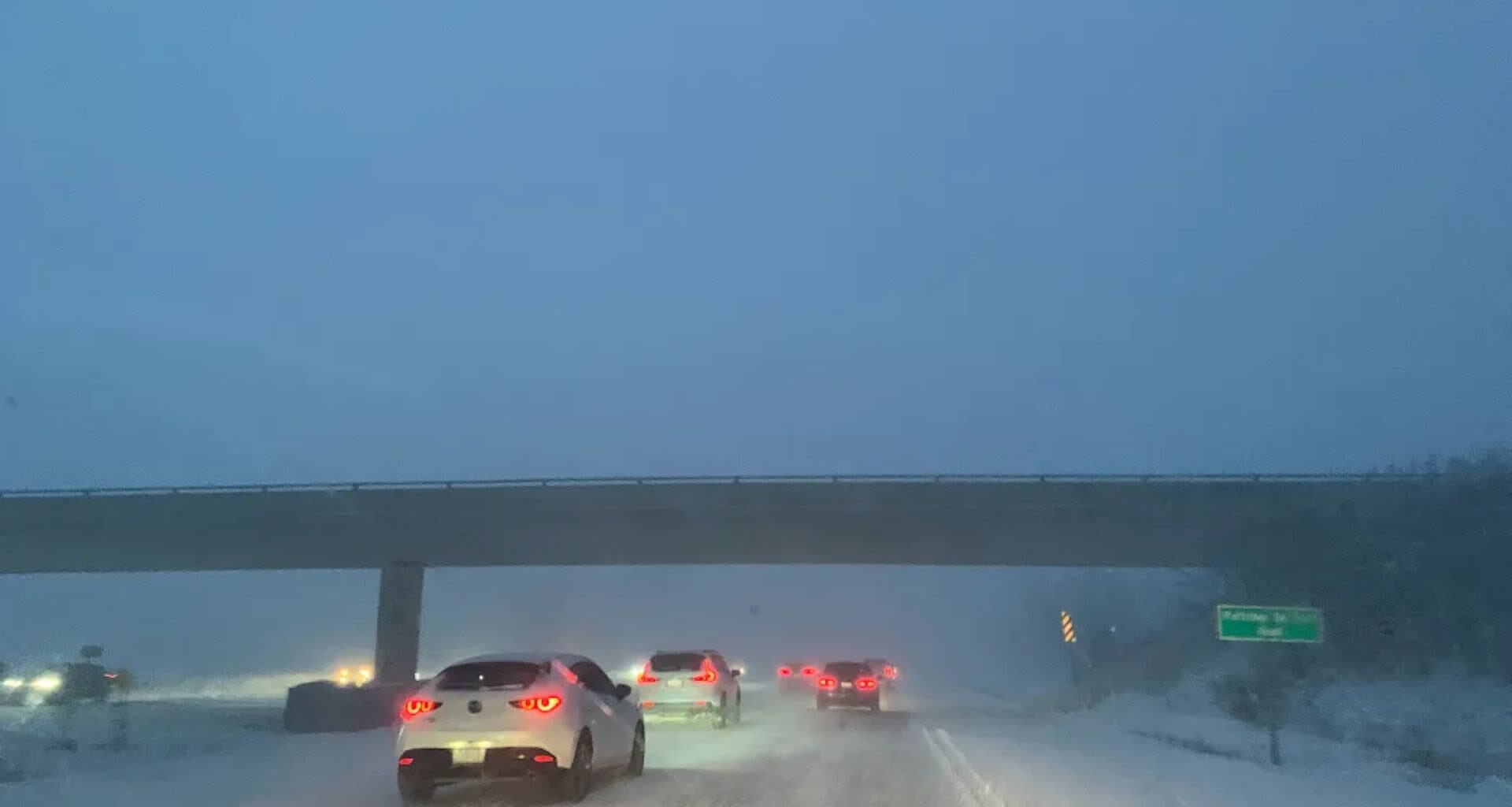
Snow bands will shift, spreading snowfall widely rather than targeting specific areas. Hard-hit regions could see 20-40+ cm, with blowing snow, drifting, and whiteouts likely due to 40-60+ km/h wind gusts through Friday.
DON’T MISS: New colour-coded Canadian weather alerts have now launched. Here’s what they mean if you see them
These conditions will result in challenging travel conditions and possible road closures. Consider postponing non-essential travel.
Residents should stock up on essential supplies, such as food, water, medications, and batteries, and ensure their heating systems are working properly as soon as possible before the snow starts.
Visit our Complete Guide to Winter for an in-depth look at the Winter Forecast, tips to plan for it and much more!
Multi-day lake-effect snowfall event, with 40+ cm possible
Snow squalls will begin to form into Thursday, remaining unorganized through the morning period but intensifying through the afternoon.
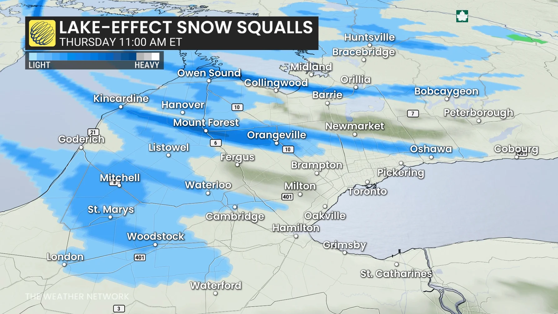
Squalls will become more potent, stretching across regions of southern Ontario through the afternoon and evening hours, impacting many commuter routes and parts of the 400-series highways.