
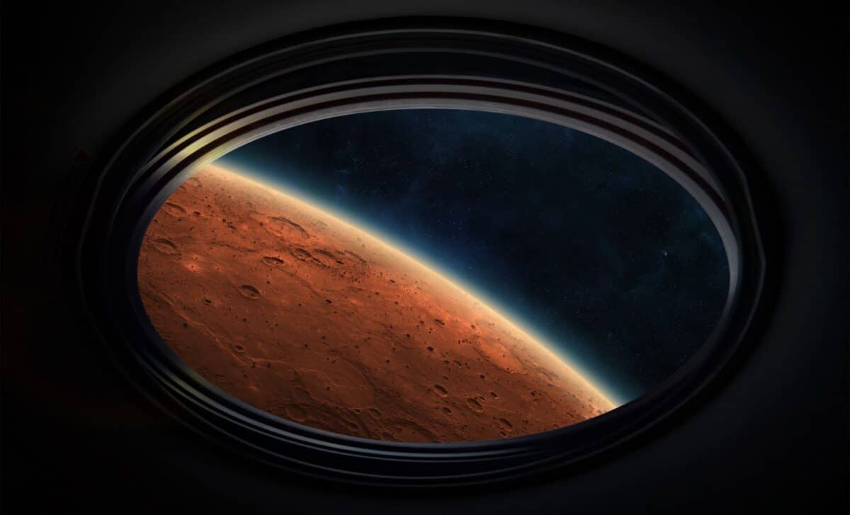
On June 19, 2017, the European Space Agency’s Mars Express orbiter took a striking wide-angle image of Mars, presenting an “upside-down” view of the planet. The photo, part of a camera calibration sequence, flips Mars’ usual orientation with the North Pole at the bottom of the frame and the equator at the top.
Mars Express, which has been orbiting the Red Planet since 2003, has provided scientists with invaluable data about the Martian surface. Despite its challenges, including the loss of its Beagle 2 lander, the orbiter continues to deliver incredible images and scientific insights.
A New View Of Mars’ Icy North Pole
Captured during a routine camera calibration, this new image highlights Mars’ northern polar cap, placing it at the bottom of the frame. According to the European Space Agency, the image was taken as Mars Express flew from the North Pole toward the equator. With this inverted perspective, the bright ice at the pole contrasts sharply with the surrounding terrain.
This image also gives a clear view of Alba Mons, the largest volcano on Mars by area, which stretches over 1,000 kilometers across the planet’s surface. Its prominent position in the top third of the image makes it a central feature in the “upside-down” landscape. Just above Alba Mons, Ascraeus Mons rises as the second tallest volcano, with clouds lingering over its 15-kilometer-high peak.
“Other volcanoes can also be seen to the left of Ascraeus Mons, including Uranius Mons, Ceraunius Tholus, and Tharsis Tholus,” noted the ESA in the report.
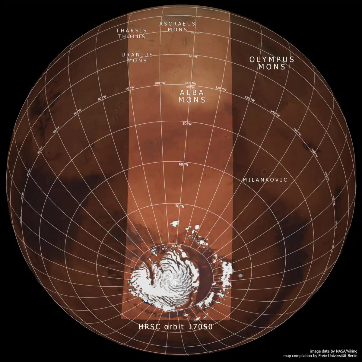 This NASA Viking map highlights the central area for the accompanying image release. Credit: NASA/Viking, FU Berlin
Mars Express: A Groundbreaking Mission
Since its launch in 2003, the Mars Express orbiter has been ESA’s flagship mission to the Red Planet, delivering extraordinary scientific data about the planet’s surface and atmosphere. Though the Beagle 2 lander did not successfully deploy its solar panels after landing, the orbiter has been a resounding success, regularly sending back stunning images of Mars. This latest photograph is part of its ongoing mission to calibrate its instruments.
The high-resolution stereo camera used to capture the image has been instrumental in creating detailed maps of the surface of the fourth planet. Equipped with nine different imaging channels, including color and stereo channels, it has provided scientists with data to investigate the planet’s geology, atmosphere, and potential for life.
“The northern polar cap was composed of water ice and dust at the time of imaging, at the beginning of spring. The carbon dioxide ice present in winter had already evaporated from the solid form to a gas.”
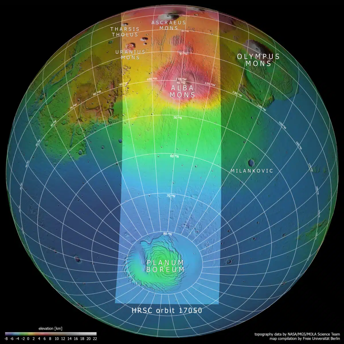 This map reveals the context of the image, featuring the central swath and the region’s topography. Credit: NASA/MGS/MOLA Science Team, FU Berlin
What Makes ‘Upside-Down’ Images So Powerful?
While there is no definitive “up” or “down” in space, images of planets are typically shown with the North Pole at the top. By reversing this orientation, the ESA has provided a fresh perspective on Mars. This change in perspective allows scientists to see Mars in a new light, highlighting areas that might have otherwise gone unnoticed. As NASA and ESA continue their exploration of the Red Planet, capturing different angles and orientations will contribute to a more comprehensive understanding of its complex surface and history.