
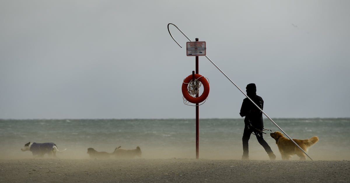
CP24’s Courtney Heels has the latest on another day of wild weather which will see very strong winds and a significant amount of rainfall hit the city.
A special weather statement has been issued for Toronto, which could see winds of up to 90 km/h on Friday.
“Showers and the risk of thunderstorms will push into the region this morning,” the weather advisory read.
“A cold front is then expected to push through the region this afternoon. The passage of the cold front may lead to another wave of strong winds with the potential for wind gusts of 80 to 90 km/h.”
The winds are expected to ease from west to east late this afternoon or early this evening.
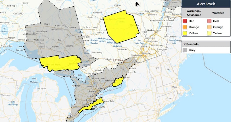 Weather advisories in southern Ontario Map highlights where weather advisories and statements have been issued in southern Ontario as of Friday morning. (Environment Canada)
Toronto will see unseasonably warm temperatures on Friday with Environment Canada calling for a high of 12 C in Toronto, about 14 degrees warmer than normal for this time of year.
The Toronto and Region Conservation Authority has issued a watershed conditions statement, warning of rapidly changing water levels in the coming days due to rain and melting snow.
“Flooding is not expected in TRCA watersheds, however due to the total rainfall expected combined with warmer temperatures and melting snow, all rivers may rise and flow faster than usual over the next 2 to 3 days,” the statement read.
“Due to the weather forecast, all rivers and streams in the TRCA’s jurisdiction should be considered dangerous with this weather system, as it is expected to cause rapidly changing water levels, faster and stronger flows, unstable riverbanks and unsafe ice conditions.”
GTA residents are advised to avoid rivers and streams as well as slippery banks around bodies of water.
“The ground in TRCA watersheds is frozen. This stops rain and melted snow from soaking in and makes more water run into rivers. This could cause water to pool in flood plains and in low-lying areas that do not drain well,” the advisory notes.
“Ice cover and cold water temperatures in rivers and waterbodies is also a danger as there is a higher risk of falling in because riverbanks and nearby areas are icy and slippery. Where rivers are covered with ice and snow, warm weather and rain will result in the ice to break up and move downstream potentially causing ice jams.”
Toronto Hydro is warning of possible outages today due to the gusty conditions.
“It’s a blustery day in Toronto! Strong winds and showers are moving through and could cause power outages or damage. We’re keeping a close eye on the weather, and our Control Room and crews are ready to respond,” the utility said in a post on social media.