
Drawing on the expertise of over 1,330 scientists from over 100 countries, the Ocean Travellers Report synthesizes decades of research to map reproductive sites, migratory corridors, feeding grounds, and aggregation hotspots across 70% of the global ocean, including coastal waters, island chains, continental shelves, offshore seamounts, and areas beyond national jurisdiction (ABNJ).
Sharks and rays are the second most threatened group of vertebrates on Earth, with more than one-third of species at risk of extinction due to overfishing, habitat degradation, and climate change. This report provides an indispensable scientific tool for governments, regional bodies, and ocean managers seeking to integrate biodiversity needs into marine spatial planning, fisheries policy, environmental impact assessment, and area-based conservation.
ISRAs do not create legal protection, but they offer a globally standardised scientific foundation that can guide countries in meeting commitments under CMS, the Sharks MOU, the Kunming–Montreal Global Biodiversity Framework (GBF), and the Sustainable Development Goals.
Dr Rima Jabado, Deputy Chair of the IUCN SSC and Chair of the IUCN SSC Shark Specialist Group, said: “ISRAs spotlight the places where conservation action will have the greatest impact. This is the first time such a globally coordinated mapping effort has been undertaken for sharks and rays. It reveals, with unprecedented clarity, where species reproduce, feed, travel, and take refuge — and gives governments the science they need to safeguard these habitats before it is too late.”
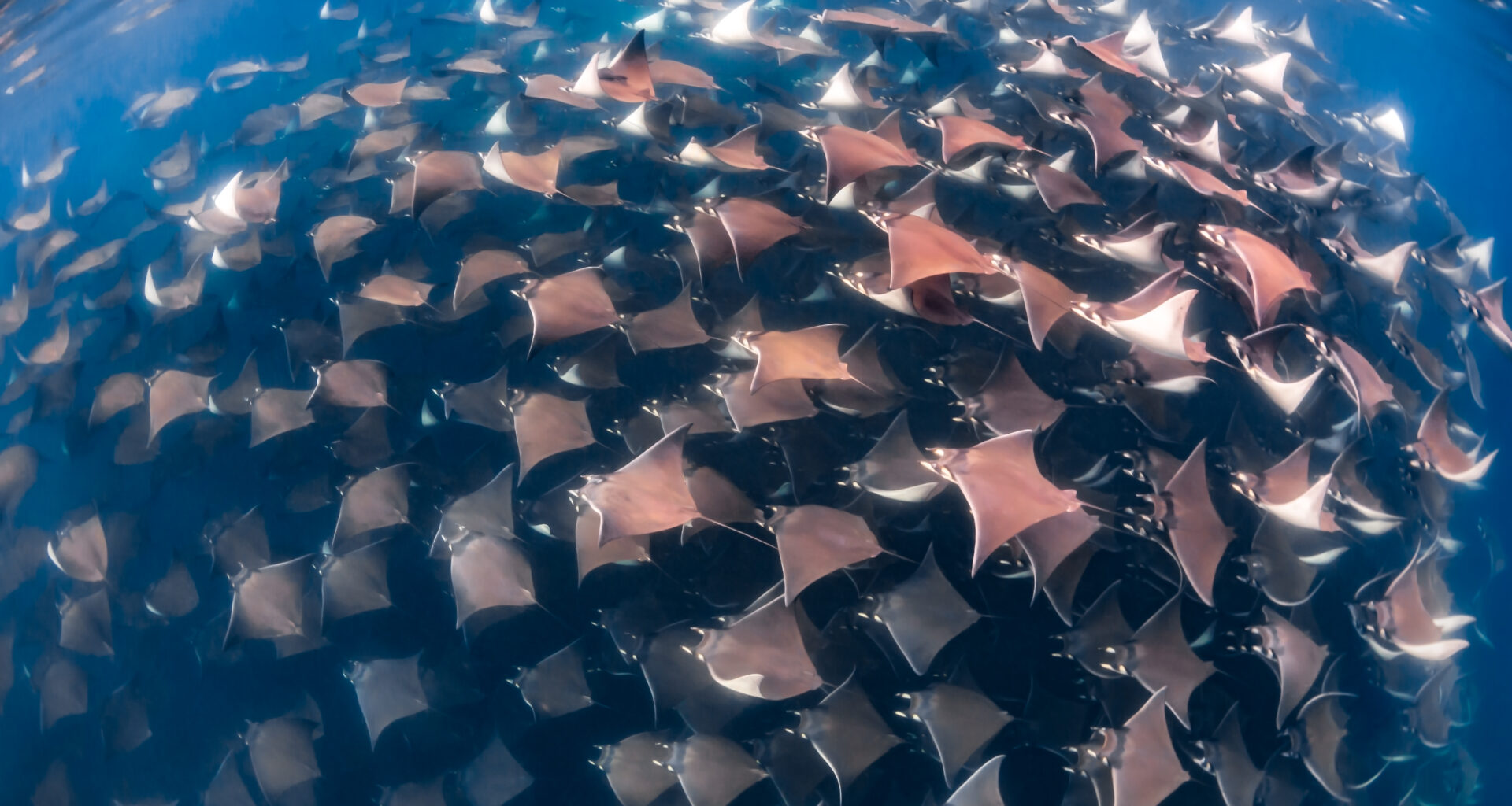
Case studies in the report showcase a diversity of ecological phenomena: migratory corridors linking South Africa and Mozambique; oceanic upwelling systems in the Eastern Tropical Pacific; culturally significant aggregation sites in the Pacific Islands; and unique movement and behavioural patterns in remote archipelagos such as French Polynesia.
Many ISRAs overlap with major fishing grounds, shipping routes, and development zones, demonstrating the urgent need to integrate biodiversity science into ocean-use decisions.
Oliver Conz, Director-General, Ministry for the Environment, Climate Action, Nature Conservation and Nuclear Safety, Germany, said: “This report provides exactly the actionable science policymakers need. ISRAs make the invisible visible — the hidden journeys of migratory species across oceans and borders. Germany is committed to supporting CMS and its Parties in strengthening cooperation to ensure that shark and ray conservation is effective, connected, and forward-looking.”
Amy Frankel, Executive Secretary of the Convention on Migratory Species (CMS), a legally binding treaty of the United Nations, noted that: “Migratory sharks and rays depend on healthy, connected ocean habitats. ISRAs give governments and stakeholders a powerful tool: a clear map of important habitats, conservation of which international collaboration is essential. This work strengthens the scientific backbone of CMS and will help governments translate commitments into concrete actions both within national waters and on the high seas.”
Climate change is adding new pressures by altering species distributions, changing ocean currents, and disrupting migratory cues. The report notes that ISRAs can help identify future refugia and resilience hotspots, supporting climate-adapted conservation planning.
The ISRA e-Atlas provides free, interactive access to all mapped areas, offering unprecedented transparency and accessibility for policymakers, researchers, journalists, and the public.
The next phase of the initiative will focus on supporting CMS Parties, regional bodies, and ocean managers to integrate ISRAs into marine spatial planning, fisheries management, and biodiversity reporting; to strengthen transboundary collaboration; and to apply ISRA insights in emerging governance processes, including the new BBNJ Agreement.