

Published on Jan. 22, 2026, 1:04 PM
A major U.S. winter storm is expected to impact Atlantic Canada from Sunday into Monday, with frigid temperatures and severe wind chills moving in ahead of the system
A significant U.S. winter storm is expected to strengthen as it moves south of Atlantic Canada on Monday and Monday night. While the exact track remains uncertain, some areas could receive 15-25+ cm of snow, accompanied by blowing and drifting snow.
DON’T MISS: Extreme cold targets Canada as the polar vortex buckles
Colder weather is set to move in on Friday, as well, bringing frigid conditions for the weekend. Daytime highs across New Brunswick are forecast to drop near -20°C, with similar conditions extending into PEI and parts of Nova Scotia. Southern Nova Scotia will see temperatures in the minus teens.
The storm set up:
A frigid Arctic air mass in eastern Canada will clash with a warm, moist air mass from the Gulf of Mexico, creating a boundary that will produce heavy snow and ice all the way from Texas to the Atlantic coast. This complex setup, influenced by two lows, is making forecasting challenging, but here’s what is known so far.

This weekend, the Maritimes will experience very cold Arctic air, with daytime highs ranging from minus teens to -20°C. Halifax is forecast to see a high of -14°C on Saturday — a rarity, last observed in February 2023, December 2016, and January 2014.
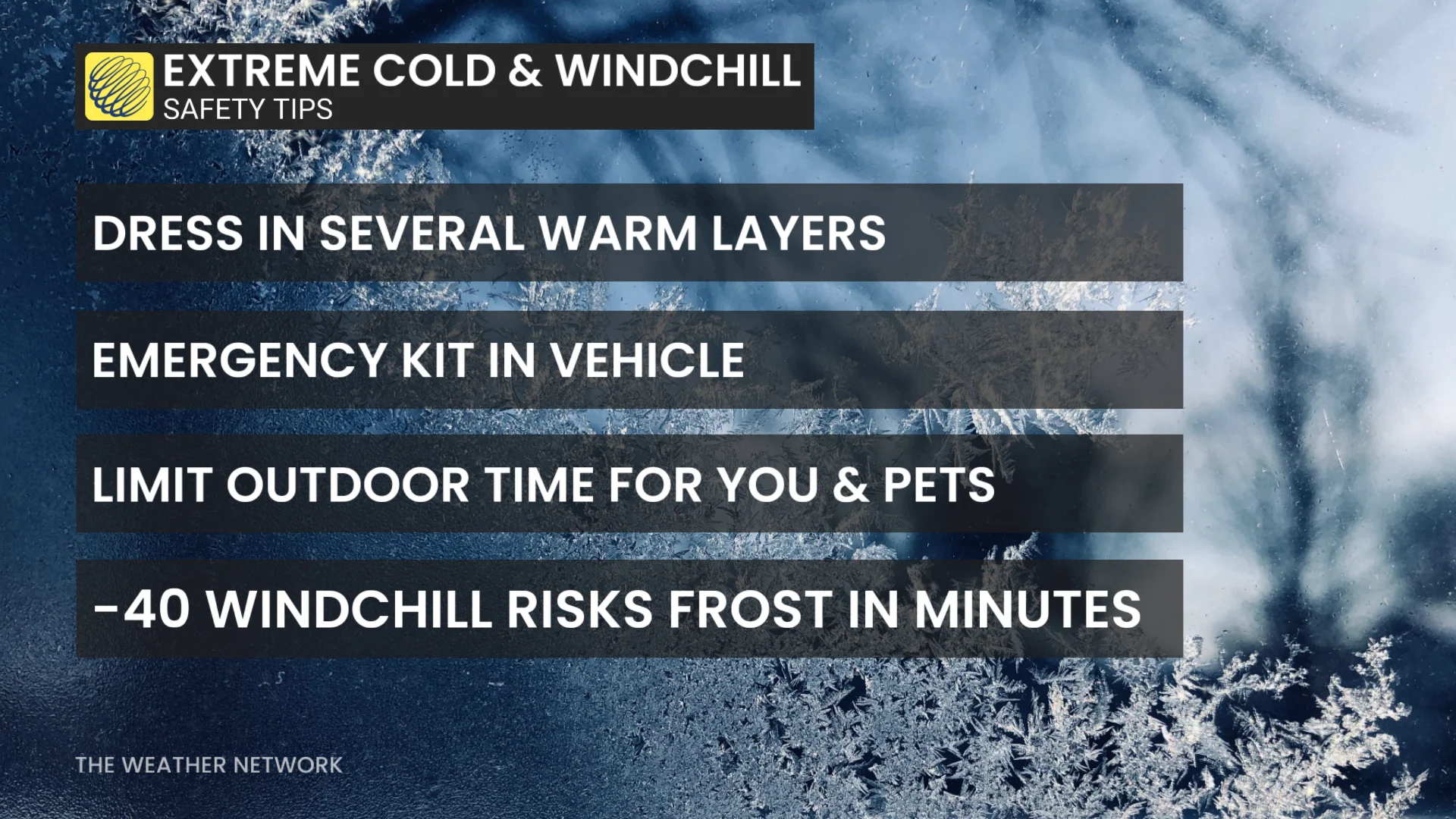
Wind chills could drop to -20 to -30 or lower.
RELATED: When is the cold too cold? How extreme cold warnings are issued
A strong U.S. storm system is expected to move into the U.S. Northeast on Sunday. The northern edge of the system may bring snow to the Maritimes beginning Sunday evening. By overnight and into Monday, snowfall rates and wind gusts may intensify. Snowfall totals of 10-20+ cm are possible.