
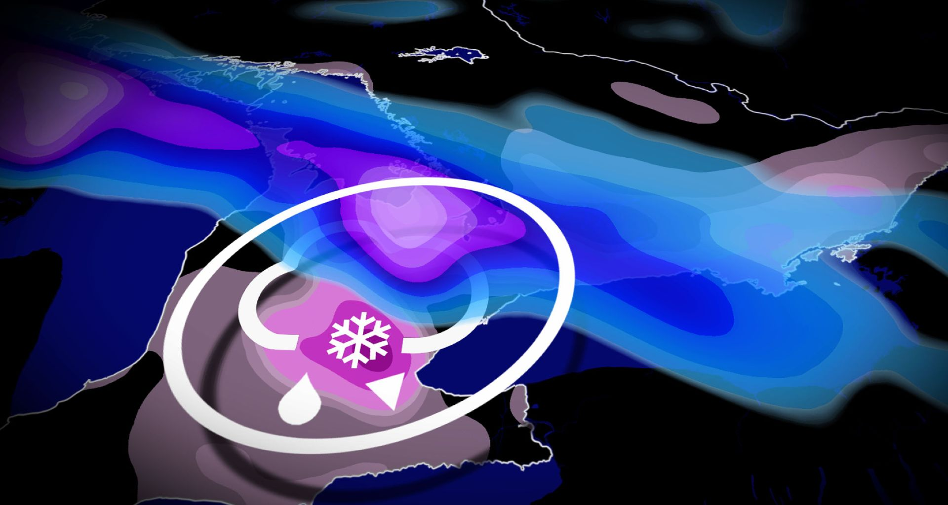

A swath of messy precipitation, freezing rain and ice pellets, sets up north of the warm front, but the timing and exact placement is still uncertain.
SEE ALSO: Toronto’s record winter highlights snow removal challenges in North America
Currently, forecasts indicate the highest risk for freezing rain will be northwest of the Greater Toronto Area (GTA), including Orangeville, Guelph, Fergus, Cambridge, and Brampton. We could even see the ice spread north of the GTA into Newmarket and Peterborough.
Confidence in the freezing rain forecast is still low, however, so keep checking back for the latest updates. Areas that are impacted by the freezing rain will have an increased risk for power outages, tree damage, and dangerous roads through Wednesday.

Small changes in temperature can have drastic impacts on your precipitation. On the colder side, a swath of heavier snow is more likely north of the GTA, extending from Georgian Bay-Barrie to regions north of Lake Ontario, such as Kingston, where temperatures aloft stay below freezing.
Small shifts in the front’s position mean big differences in the exact impacts, especially for the GTA and the Highway 401 corridor, but folks should prepare for a wintry mix regardless.
Precipitation spreads across southwestern Ontario through the pre-dawn hours on Wednesday. The morning commute will be tricky with locally heavy rain and a wintry mix near and west of the GTA.