
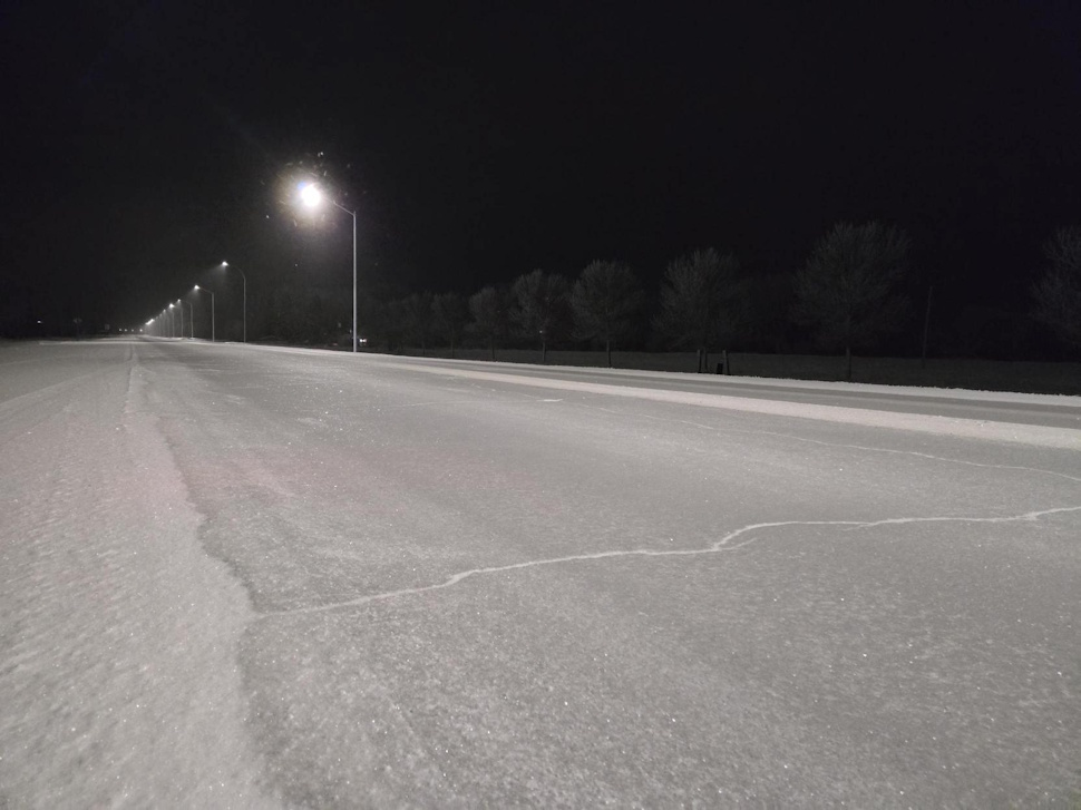
Streets and highways throughout the Red River Valley are quite slick Friday morning, after several hours of freezing drizzle Thursday night through this morning.
A Freezing Drizzle Advisory remains in effect for the region, with a wintry mix of freezing drizzle and periods of snow expected today.
 6:35 a.m.
The Trans-Canada Highway, Highway 16, and Highway 26 are all ice-covered, with good visibility.
“The initial round of freezing drizzle was s courtesy of a inverted trough off low pressure that moved through Montana and the Dakotas yesterday,” said CMOS Accredited Weathercaster Chris Sumner. “We could see additional freezing drizzle today as a cold front sweep throughs the area. Behind it, northwesterly winds will develop and gust up to 50km/h with daytime highs slightly below seasonal at -6.”
He added, as the cooler air moves in, any precipitation we see will turn to light snow.
Sumner noted the weekend is looking well above average.
“Atmospheric ridging and southerly winds will push a warm airmass northward on Saturday,” he said. “Westerly to southwesterly flow aloft on Sunday will wash the Prairies in a warm, Pacific airmass with highs potentially reaching the 8 to 10 degree range across Southern Manitoba.”
Minus three degrees is the average daytime high for this point in March.
According to historical data from Environment Canada, daytime highs on Sunday would need to surpass the 13-to-15-degree range to have a chance of setting new records for March 8th.