
What to know
Snowfall is expected to begin later Friday morning and continue into the afternoon, with total accumulations of about 5 to 8 centimetres possible across Toronto.
Snow could fall at rates of 2 to 4 centimetres per hour at times, reducing visibility and quickly covering roads and highways.
The snow is expected to ease later in the afternoon and may turn to rain as temperatures rise, but falling temperatures overnight could lead to icy roads and sidewalks.
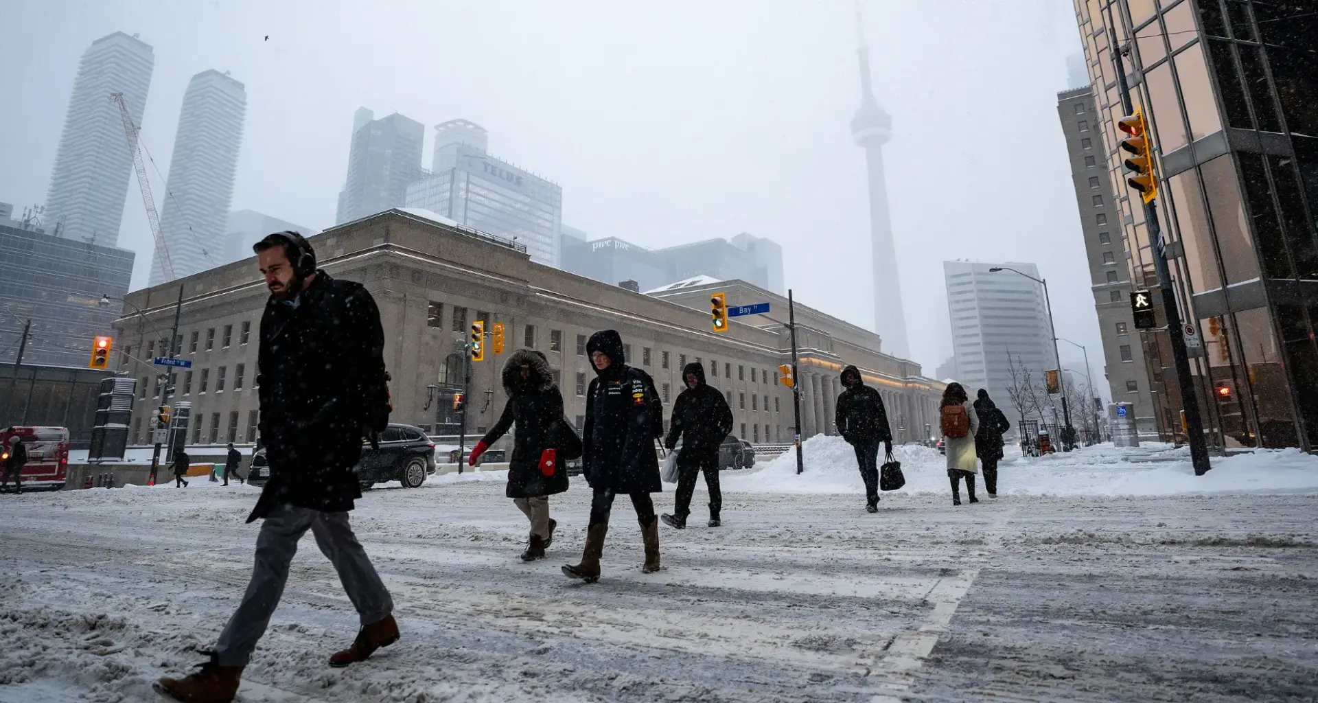
Toronto residents may want to keep winter gear close by Friday, as a burst of snow is expected to move through the city this morning into the afternoon.
A special weather statement from Environment Canada warns that brief periods of heavy snowfall could create hazardous travel conditions across the city.
Forecasters say snowfall rates could reach two to four centimetres per hour, with total accumulations of around five to eight centimetres possible before the system moves out.
The heavier bursts of snow may significantly reduce visibility and quickly cover roads and highways, making travel conditions slippery during the day.
While the snowfall itself is not expected to last long, the rapid accumulation could still cause problems for commuters and drivers moving through the city.
Temperatures are expected to climb slightly later in the afternoon, which could cause the snow to ease and transition into rain showers.
However, Environment Canada says conditions could worsen again overnight. As temperatures drop back below freezing, wet roads and sidewalks may turn icy, increasing the risk of slippery surfaces into the evening and early Saturday.
Drivers and pedestrians are being advised to prepare for quickly changing weather conditions and to monitor updated forecasts and alerts.