

Listen to this article
Estimated 3 minutes
The audio version of this article is generated by AI-based technology. Mispronunciations can occur. We are working with our partners to continually review and improve the results.
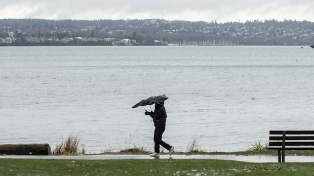
A prolonged storm is moving on B.C. Sunday, bringing high winds and heavy rain in coastal and southern regions and intense snowfall in the north.
Most of the province is blanket by a yellow warning for the wind and precipitation under Environment and Climate Change Canada’s new colour-coded alert system.
A yellow alert indicates moderate, localized or short-term damage and disruptions which can still be highly dangerous for those caught in the wrong place.
WATCH | Rescuers urging people to stay away from waterways: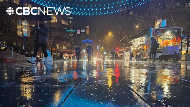
Caution urged as rain, snow, wind warnings blanket B.C.
An atmospheric river is targeting the entire B.C. coast starting Sunday, with officials warning of rapidly rising streams and rivers. As the CBC’s Janella Hamilton reports, rescue crews are already heeding warnings to stay away from waterways.
That’s why Scott Merriman of North Shore Rescue is hoping people stay away from streams and rivers, which could swell rapidly over the next few days.
“Things can go from OK to bad really quickly,” Merriman said.
“You could head out on a hike and when you get back that river’s just risen to a point where you can’t get back to where you started.
WATCH | How Environment Canada’s alert system works: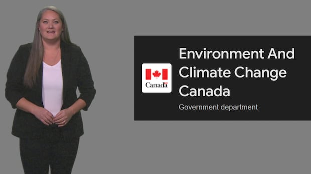
Breaking down Environment Canada’s new weather warning system
Environment and Climate Change Canada has changed the way it classifies its weather warnings. CBC meteorologist Ashley Brauweiler explains.
Environment Canada says between 100 and 150 millimetres of rain could fall between Sunday and Wednesday due to an atmospheric river hitting Metro Vancouver, the Sunshine Coast, Howe Sound, West Vancouver Island, the Central Coast, and Haida Gwaii.
“Don’t risk it,” Merriman urged.
Other areas, like central Vancouver Island and the Sea-to-Sky between Squamish and Whistler will also see periods of heavy rain.
Environment Canada meteorologist Louis Kohanyi says areas with intense rain could see flooding and an increased risk of landslides. He says drivers should be careful.
“When they are driving there could be water pooling on the roads and there could be washouts,” said Kohanyi.
The River Forecast Centre has issued a high streamflow advisory for Metro Vancouver, the Fraser Valley, Vancouver Island and all of B.C.’s coast, meaning river levels are expected to rise rapidly, possibly causing minor flooding in low-lying areas.
It warns people to stay safe around rivers and be prepared for challenging driving conditions.
Snow and wind warnings
Snowfall warnings are in effect for most of northern B.C. and parts of the Interior, including Prince George, Fort Nelson, the North Coast, the Bulkley Valley, Stuart-Nechako, Williston, Pine Pass, McGregor, Highway 16, Highway 97 and Anahim Lake.
These areas could see between 10 and 15 centimetres of snow over the next day.
Kitimat and Terrace will see a winter storm with about 15 to 30 cm of snow and between 50 and 80 mm of rain expected Sunday afternoon into Tuesday morning.
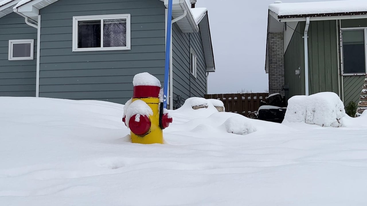 A snowy day is pictured in Prince George, B.C., in 2024. The region is expecting to see up to 15 cm of snow over the next few days. (Andrew Kurjata/CBC)
There are also wind warnings covering the Central and North Coast, Haida Gwaii, and North Vancouver Island.
Winds of 70 to 90 km/h, with gusts up to 110 km/h, are expected starting Sunday afternoon into early Monday morning.
Environment Canada warns local utility outages in windy areas are possible.
“Damage to roofs, branches, or soft shelters is possible,” Kohanyi said.