
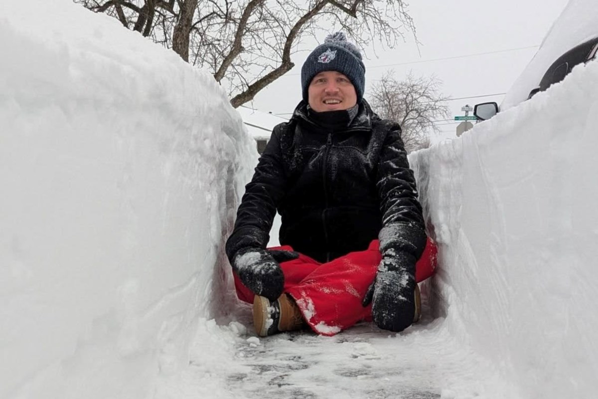
Sudburians who spent the weekend shovelling can now put a number to the ordeal. Environment Canada says the city set a daily snowfall record on March 15, part of a two-day dump that totalled more than 42 centimetres
Were you wondering if Sudbury broke any records for snowfall? You’ll be happy to know that yes, at least that dig out was one for the books. Legendary, if you will.
Environment Canada meteorologist Steven Flisfeder told Sudbury.com that March 15 brought the highest daily snowfall record since 1959.
In fact, it was the 11th highest daily-snowfall total on record for Sudbury, and fourth highest daily-snowfall total for the month of March.
All in all, Flisfeder said 42.1 centimeters of the white stuff fell on the Nickel City over the course of March 15 and 16.
And of course, the North does winter like no other: pair all that snow with an average 55 kilometre wind, with the maximum gust hitting 72 kilometres per hour on March 15, he said.
It may have been higher on March 16, but that information isn’t available, said Flisfeder. The instrument which measures the wind for Environment Canada, situated at the Greater Sudbury Airport, froze. “ I know there’s an error in the database because it’s almost mathematically impossible the number that they’re giving,” he said with a laugh. However, after digging it all out, some Sudburians would disagree with him about what is “mathematically possible” when it comes to winter.
The storm also brought thunder and lightning along with it, a once rare occurrence that is now happening up to once a year, said Flisfeder.
A thunderstorm occurs when an air mass becomes so unstable that it overturns, sometimes violently. This usually happens when drastically different temperatures meet, such as when the air closer to the ground is unusually warm and humid and the air above it is unusually cool. Because the lower layers of air are colder — and have a lower dew point — in the wintertime, these kinds of atmospheric clashes are very unusual during colder months. Still, thundersnow does happen.
Thundersnows are most common in the Great Lakes region, when cold air blows across the relatively mild water of the Great Lakes, forcing the air upwards rapidly enough that the instability causes lightning and thunder in conjunction with heavy snow. This same effect can happen along the East Coast, when an icy cold Nor’easter moves in to a region on the heels of a warmer front.
And while frequency data is not available, “it happens every year, I would say, depending on what the systems look like, where they’re located,” he said. “But with these kinds of storms, where it’s very intense precipitation and very dynamic in terms of temperature gradient, the thundersnow is very likely in those types of events. So we have seen it occur quite often, at least once a year, across southern Ontario and into the nickel belt as well.”