
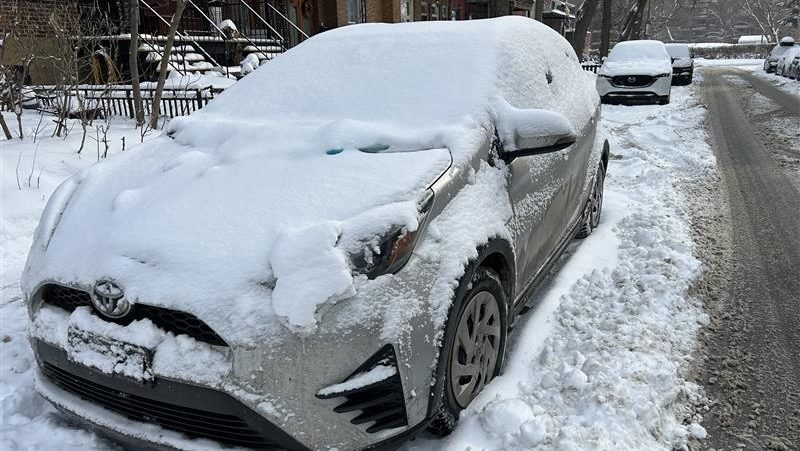
The first day of spring is arriving more like mid-winter in Montreal, as a burst of snow is set to create tricky travel conditions across the region today.
Clouds will thicken through the morning before snow begins near noon, with about 5 centimetres expected in the city and up to 10 centimetres in surrounding areas. At times, snowfall rates could reach 2 centimetres per hour, reducing visibility and quickly covering roads. The system will sweep from west to east through the afternoon, making for a messy commute.
Winds will shift to the northeast at around 20 km/h, with a high of minus–2 Celsius and a wind chill near minus–9 C, adding to the wintry feel despite the change of season.
Snow will taper off this evening, with a chance of flurries early tonight before partial clearing overnight. Temperatures will fall to minus–5 C, with a wind chill near minus–11 C.
A brief taste of spring returns Saturday, with clearing skies and a high of +4 C, but the reprieve will be short-lived. Snow is expected to redevelop Saturday night, followed by flurries Sunday and continued snow into Monday, keeping the wintry pattern in place for the start of the new season.