
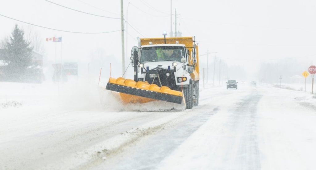
It may be astronomical spring, but it appears Mother Nature did not get the memo.
The nation’s capital can expect between 5 and 10 centimetres of snow on Friday, with peak snowfall rates of 2 to 3 cm per hour. The system should move out of the city by the afternoon, the forecast shows.
“Roads and walkways may be difficult to navigate due to accumulating snow,” it warns.
Police are reminding motorists of the messy conditions impacting commutes. Meteorologists at Environment Canada are predicting somewhat of an unsettled start to the new season.
“For the most part, we’re gonna be below seasonal, I know people are not going to love to hear that, but for the next few days at least we’re going to be above seasonal,” Trudy Kidd, meteorologist with Environment Canada, said.
Temperatures should rise to 5 C on Saturday and 2 C with a mix of precipitation. Overnight lows will remain cooler and below seasonal over the next several days, the forecast shows.
“Temperatures in the spring don’t warm in a smooth and gradual way, it’s a really changeable time of the year, and it’s a bit of a bumpy road,” added Kidd. “It’s not time to put away the snow shovels and winter gear just yet; we’re still going to need it.”
This is because of a shift to an El Niño pattern (above-average temperatures) from a La Niña pattern (below-average temperatures) in the Pacific Ocean, CityNews chief meteorologist Natasha Ramsahai, explains.
“This is expected to strengthen into a very strong El Niño by the winter time of this year, but it still has impacts on the jet stream as we go into spring,” she said.
When it comes to areas near the Great Lakes, Ramsahai said it likely won’t mean just rain.
“We’ll likely see still a lot of mixed precipitation, possibly still some flurries, freezing rain and ice pellets … at least for the first half of spring, or at least the rest of March, and then that will transition to rain here as we go through April and May,” she said.
With files from CityNews’ Josh Piercey and Nick Westoll.