
Certain rivers and waterways in Quebec are on the rise, and that’s put some under surveillance for flooding.
On Tuesday in Sainte-Anne-de-Bellevue in Montreal’s West Island, for instance, the water level was just over 23 metres where the community borders Lac des Deux Montagnes.
The water level has risen 15 centimetres since Monday. The waterway would have to rise about another 25 centimetres before it crosses the minor flood threshold, and another 145 centimetres before crossing the major threshold.
“If you live right next to a lake or a river, you gotta expect that it might flood,” Sainte-Anne-de-Bellevue resident Georges Dodds told CityNews.
“But don’t foresee it being that bad.”
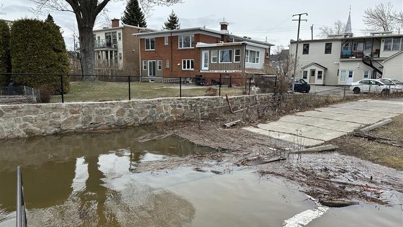
In Sainte-Geneviève, residents living along the Rivière-des-Prairies are also keeping an eye on the river levels.
“In recent years, we definitely have seen the water rising above the water line of our houses,” said resident David Tang. “And so it definitely is a concern for many of our basements. Like for example, our neighbour a few years ago already had thousands of dollars of repairs having to be done just because of the recent flooding. And so it definitely is something we’ll have to like set up sandbags and all of that type of stuff.”
“At this point, I would say we are still in control,” added Sainte-Geneviève’s Eric Schild. “It’s because we don’t have so much rain. But eventually if the rain’s still going on for two, three weeks, we will be in trouble for sure.”
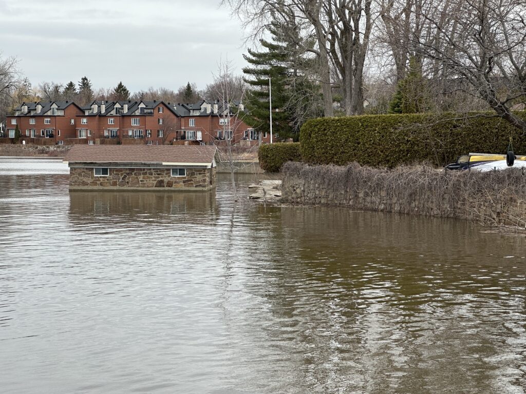 The water is rising Sainte-Anne-de-Bellevue next to Lac des Deux Montagnes, April 14, 2026. (Gareth Madoc-Jones, CityNews)
Rain is forecast for four of the next five days in Montreal, which could cause river and waterway levels to rise.
“At the end of the week, and I don’t want to get technical, but they’re announcing about 5,500 cubic metres of water flow on the river. When it reaches mid-6,000s, then we know that the low-lying areas are to have some flooding on some of the properties. We are well in advance of that,” said Jim Beis, the Montreal executive committee member responsible for security and prevention.
“I’ve been in contact with civil security this morning as well. They plan to send out some information to the boroughs and the cities that are involved at least put them on standby in the event that the water rises to a certain level and then they have to mobilize. You have to understand that every community should have their own intervention plan, as well as the one that is dictated by civil security.”
Pumps are ‘on standby’
The City of Montreal has been monitoring the situation and is prepared to deploy pumps and other flood control measures in vulnerable sectors.
“We’ve already had pumps that are on standby that we rented in Pierrefonds over a month ago that we’ve had on standby that are ready to be installed at a moment’s notice,” said Beis, who is also the borough mayor of Pierrefonds-Roxboro. “We have sandbags, pallets of sands that we’ve made ourselves that are now being delivered today to some of the strategic locations. They’ll not be installed yet, but at least will be accessible should we have to mobilize on site when the time comes.
“We have to make sure that everything is in the vulnerable areas ahead of time in the event that we have to mobilize.”
Quebec’s ministry of public security, responsible for monitoring the province’s river levels, says it will know more in about two days if flooding could be expected in the near future in the Montreal region.
“Each day we’re receiving data from different spots of hydrological terminals on the rivers like Rivière des Prairies, Rivière des Mille Îles and Lac des Deux Montagnes,” explained Jean Brazeau, the regional director of civil security for the Montreal-Laval and Laurentides-Lanaudière regions.
“We will have more accurate information, maybe in 48 hours because we don’t know the quantity of, we’re expecting some, between 20 or 50 millimetres of rain. Are we getting it? We don’t know. And also in the north, we have to know what’s going to happen because there is snow. And the temperature will go higher, snow will melt, and this will bring more water to the different rivers.”
When it comes to Montreal, what matters more than rainfall in the city itself is “what comes upstream,” says Environment and Climate Change Canada.
“They should receive in the western part of Quebec, so the Outaouais area and southern Abitibi as well, they would receive about the same kind of amounts, 50 to 70 millimetres of rain through a couple of systems this week,” said ECCC meteorologist Simon Legault.
“And if you add to that all the snow that is melting, so all the sun that is bringing a lot of rain as well into the watersheds, that will surely have some impacts in some regions.”
Lessons from the past
Beis says major floods in the past, like the one in 2017 that “came as a surprise to everybody,” have provided good lessons for current prevention measures.
“Knowing what we know already, with the intervention plan that we have locally, where we know every step when the water flows at certain metres, we know exactly the action we have to take at every sector. So having that knowledge for us has allowed us to plan well in advance to mobilize the equipment that we need on site and then execute when the time comes.”
The West Island borough mayor says damage prevention is a shared responsibility between the city, the community and the homeowners themselves.
“Since 2017, we’re almost 10 years later, people that live in these zones know exactly what to do,” Beis said. “But we as a precaution, we do visit them door-to-door. We often have the SIM with us, the fire department that comes with us as well, and we take areas at a time with council and members of the fire department and we do the door-knocking so folks understand what their role is, understanding that the city can’t take care of everything.”
The water is rising Sainte-Anne-de-Bellevue next to Lac des Deux Montagnes, April 14, 2026. (Gareth Madoc-Jones, CityNews)