
Rain and warmer temperatures in eastern Ontario and western Quebec have forced water levels along the Ottawa River and its tributaries to rise significantly in recent days.
It’s the fourth big spring flood along the river in the last nine years, with larger floods occurring in 2017, 2019 and 2023. Some areas experienced record peaks during the 2017 flood.
Over the past week, CBC Ottawa and Radio-Canada dispatched its reporters and videographers to capture some of the scenes resulting from the flooding.
In some cases, drones were deployed to give a larger sense of the flooding’s reach.
Here’s a selection of that imagery.
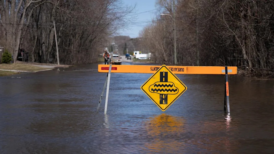
A flooded area of rue Saint-Louis in Gatineau, Que., on April 19, 2026. (Frédéric Pepin/Radio-Canada)
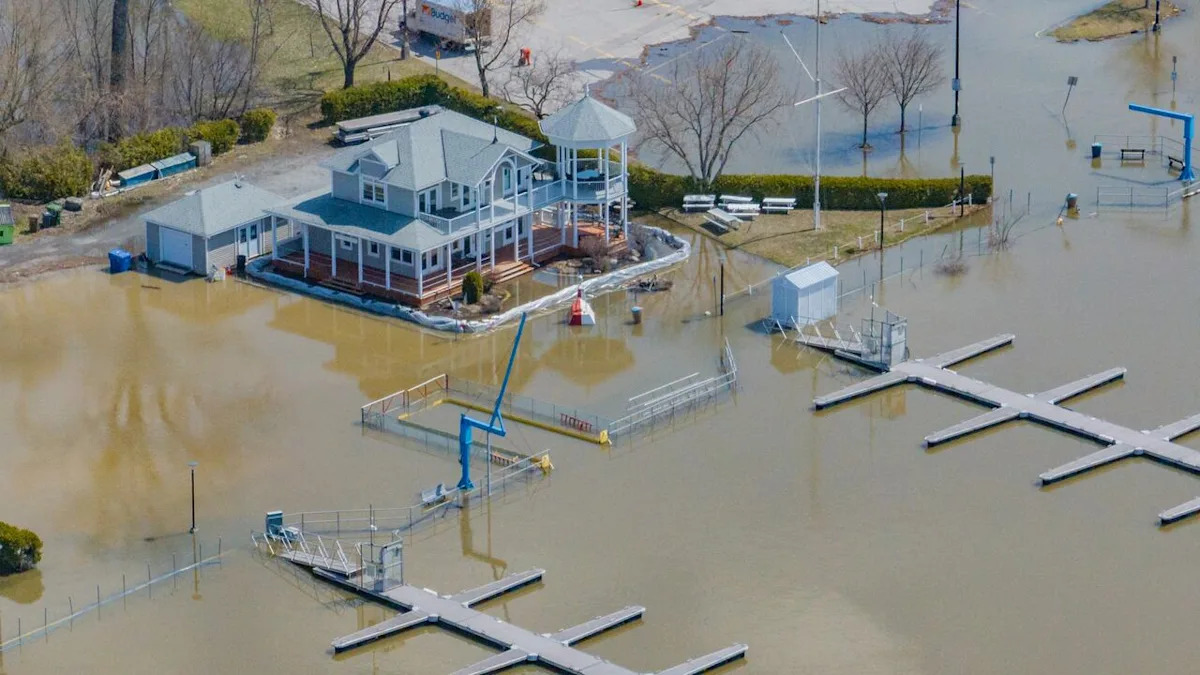
(Patrick Foucault/Radio-Canada)
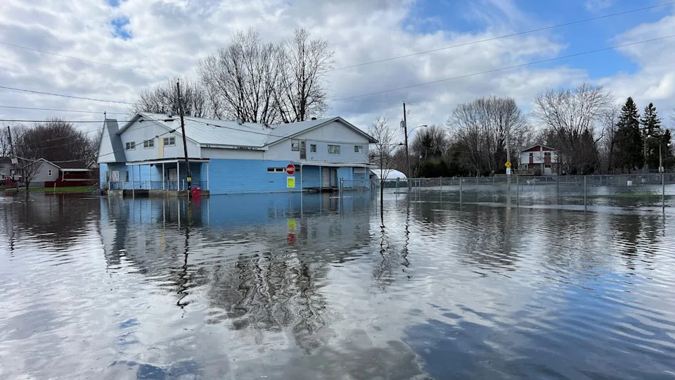
A section of boulevard Hurtubise east of downtown Gatineau, Que., on April 20, 2026 (Olivier Plante/Radio-Canada)
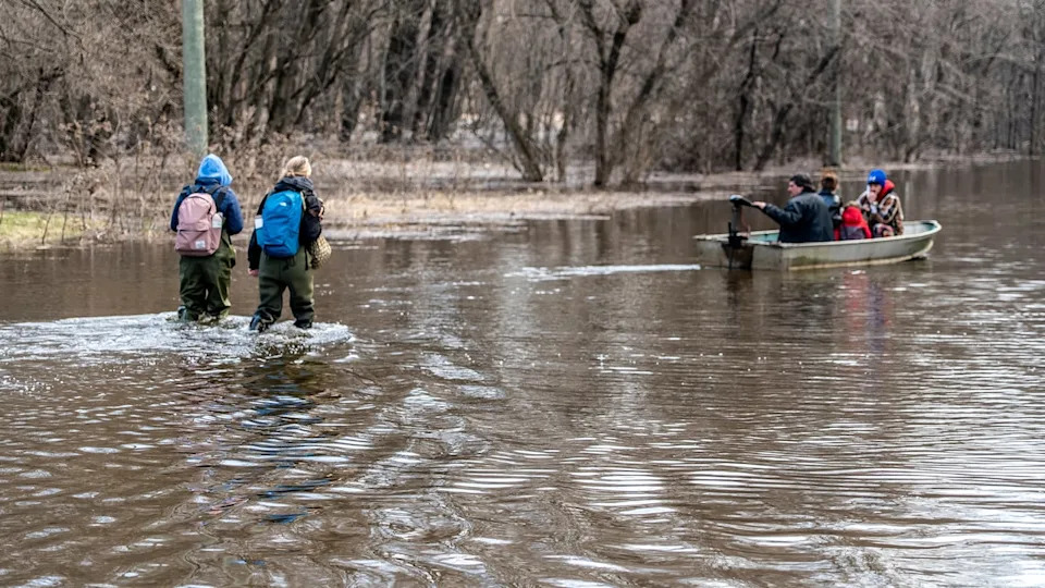
Residents in Gatineau wade through knee-deep water on April 21, 2026. (Jason Maclellan/CBC)
Advertisement
Advertisement
Advertisement
Advertisement
(Félix Desroches/CBC)
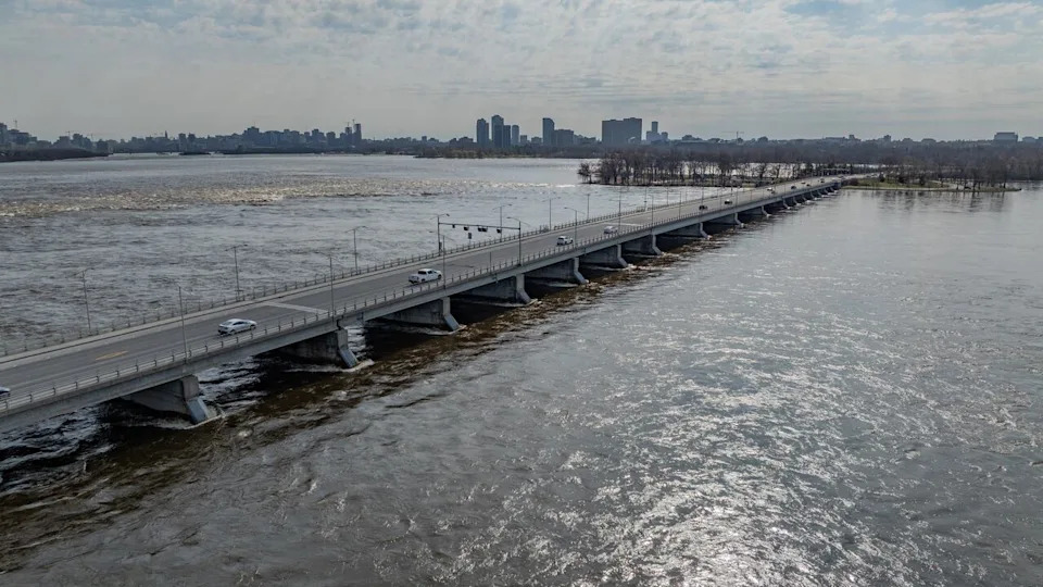
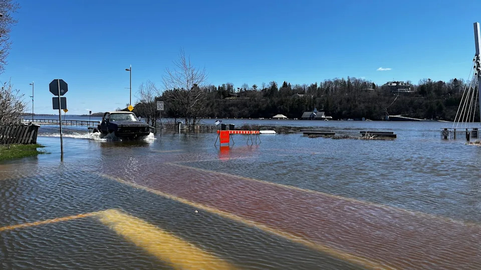
Vehicles drive along the Chaudière Bridge on April 22, 2026, as the water underneath flows higher than usual. (Félix Desroches/CBC)
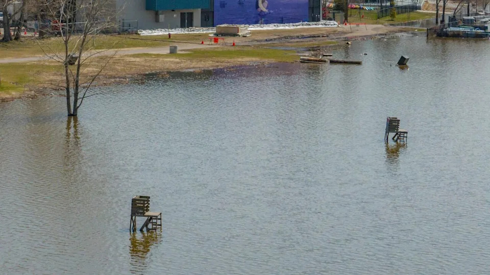
Lifeguard seats appear shorter than they are at Parc des Cèdres on April 22, 2026. (Félix Desroches/CBC)
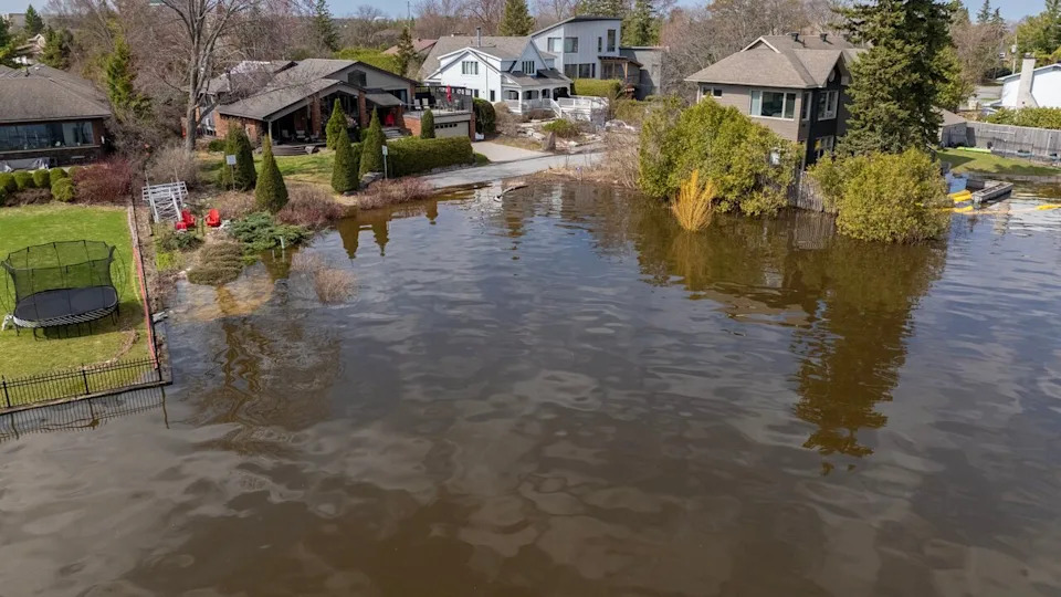
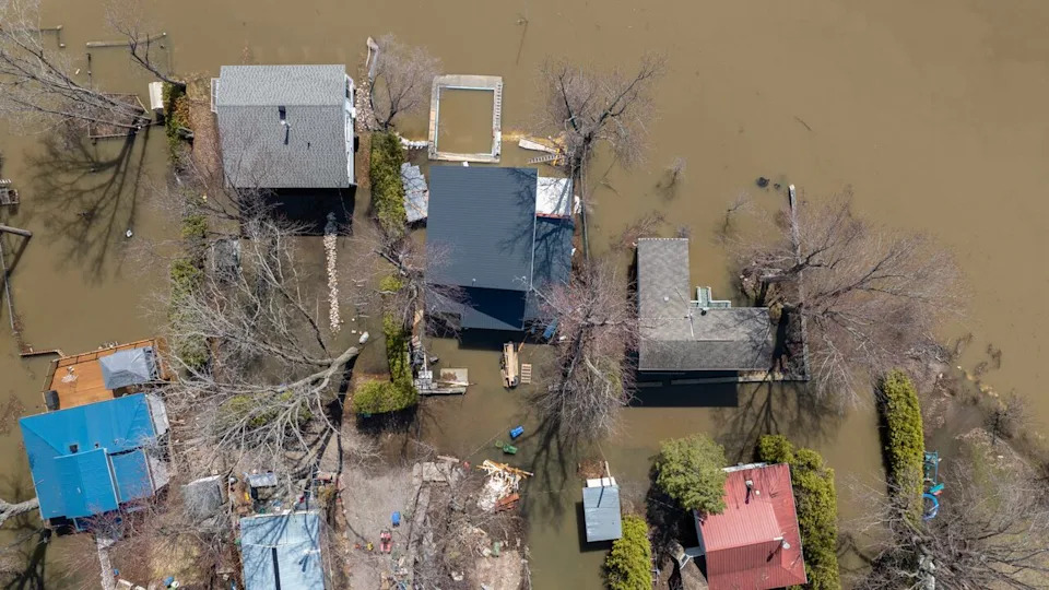
Water reaches into the backyard of a home in Ottawa’s Crystal Bay area on April 22, 2026. (Félix Desroches/CBC)
Advertisement
Advertisement
Advertisement
Advertisement