
THE LATEST:
Water levels continue to be either stable or slowly declining between Pembroke, Ont., and Carillon, Que., according to Friday’s update from the Ottawa River Regulation Planning Board.
Levels could still increase in the coming weeks, potentially exceeding what we’ve seen in the past week.
Gatineau is organizing check-in calls to people affected and extending emergency accommodations.
Service resumed for lighter vehicles on the Bourbonnais ferry Friday.
Water levels and flows on the Ottawa River are either stable or continue to slightly decline in areas between Pembroke, Ont., and Carillon, Que., according to Friday’s update from the river’s planning board.
As snowmelt continues in the northern part of the watershed, flows are increasing downstream, which could mean higher water levels in Pembroke, according to the Ottawa River Regulation Planning Board.
Other areas between Lake Coulonge and Carillon could see stable levels or a slow decrease, the board said.
But even with levels declining, it doesn’t mean the region won’t see a return to flood conditions in the future.
“The rate of snowmelt in the northern portion of the basin and the potential for rainfall over the coming weeks remain uncertain,” the board said Friday afternoon.
“A rapid melt combined with rainfall could lead to water levels higher than those observed between April 19 and 22 in all locations.”
Gatineau gives update
The City of Gatineau is still asking people to leave flooding protections in place in case there’s another rise.
It said Friday that people who have registered as being affected by the flood will be getting check-in phone calls. People who want to register or get help can call 311.
The Red Cross said Friday 211 people have registered at its support centre on boulevard de la Gappe, which is now open from 9 a.m. to 7 p.m. daily.
The city said accommodations for people forced from their homes by flooding are being extended until Wednesday, April 29.
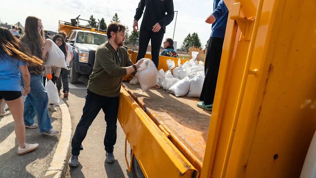
Finally, Gatineau sandbag station hours are being adjusted to 7 a.m. until 9 p.m.
What you need to know
In Ottawa, there were 15 locations as of early Friday afternoon where residents could pick up sand and sandbags.
The city keeps an updated list of road and pathway closures that can be found here, as well as an interactive map.
The City of Gatineau also has an interactive road closure map that also lays out sandbag stations and waste drop-off locations in the hardest-hit areas.
Several dozen roads have been affected by flooding, some of which are only accessible by boat. City officials have suggested some roads could soon be reopened to local traffic.
A flood relief centre also opened Tuesday at the Centre sportif de Gatineau at 850 boul. de la Gappe. It’s currently open from 9 a.m. to 7 p.m. daily.
While the Ecolos ferry between Clarence-Rockland, Ont., and Thurso, Que., remains closed, partial service resumed Friday on the Bourbonnais ferry between Gatineau’s Masson-Angers area and Cumberland in east Ottawa.
Only light vehicles are permitted on that ferry for now. Heavier vehicles, such as RVs, aren’t being allowed.
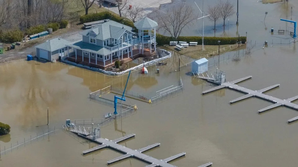
The flooded Ottawa River at the Aylmer Marina in Gatineau on Thursday. (Félix Desroches/CBC)
People living in communities outside Ottawa-Gatineau are encouraged to check their municipality’s website for the latest on flooding in their area.
Aside from the Ottawa River, the Mississippi Valley Conservation Authority has a flood warning in place for Dalhousie Lake and flood-prone areas of the Mississippi River.
People should take precautions like checking sump pumps and moving valuables from basements, the authority said.
Corrections
A previous photo caption misidentified rue Jacques-Cartier as rue Saint-Louis.
Apr 24, 2026 6:50 AM EDT