

Listen to this article
Estimated 4 minutes
The audio version of this article is generated by AI-based technology. Mispronunciations can occur. We are working with our partners to continually review and improve the results.
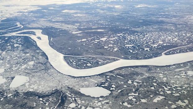
Heavy winter snowpack to the south could help bring the Mackenzie River closer to normal this summer after years of low water, according to an N.W.T. government hydrologist.
The territory has seen lower water levels in many regions in recent years along with warmer and drier summer weather. On the Mackenzie River, that’s disrupted the barge season and the transportation of goods to communities.
According to the territory’s 2026 spring water outlook, released on Thursday, water levels across the territory are currently lower than normal, with some exceptions in mid-size and smaller rivers.
Anna Coles, a senior hydrologist with the N.W.T. government, says that could change as snow melts this spring. She said higher-than-average snowpack in northern Alberta, northern British Columbia and the southeastern Yukon could drive spring flows back toward normal levels.
“We are encouraged by that, that we will see some rebound in the spring flows and potentially approaching near-normal spring flows this spring,” she said.
Coles cautions that water levels after spring and through the summer will depend on rainfall and temperatures across the basin and local conditions in individual watersheds.
She added that her team maintains contact with the territory’s Marine Transportation Services, which is responsible for barging essential goods to remote communities.
“They look at these data just as we do, to try and make those judgments and inform their planning,” she said.
Flood risks
Coles says that while average water flow generally means average flood risks, there are other factors that can either increase or mitigate risks for communities.
“There’s always the possibility that there is an unusual spring weather condition, such as heavy rainfall, which would increase spring flows,” she said.
The spring water outlook notes the risk of an ice jam flood is highest during spring break-up.
“It is difficult to predict in advance how river ice break-up will occur, and if/where and for how long ice jams will form, because these factors are highly dependent on spring weather conditions,” the report reads.
Former MLA and local business owner Jane Groenewegen lives on the banks of the Hay River and she remembers both the 2022 flooding in Hay River and the drought conditions the year after.
“We went from one extreme to the other,” she said.
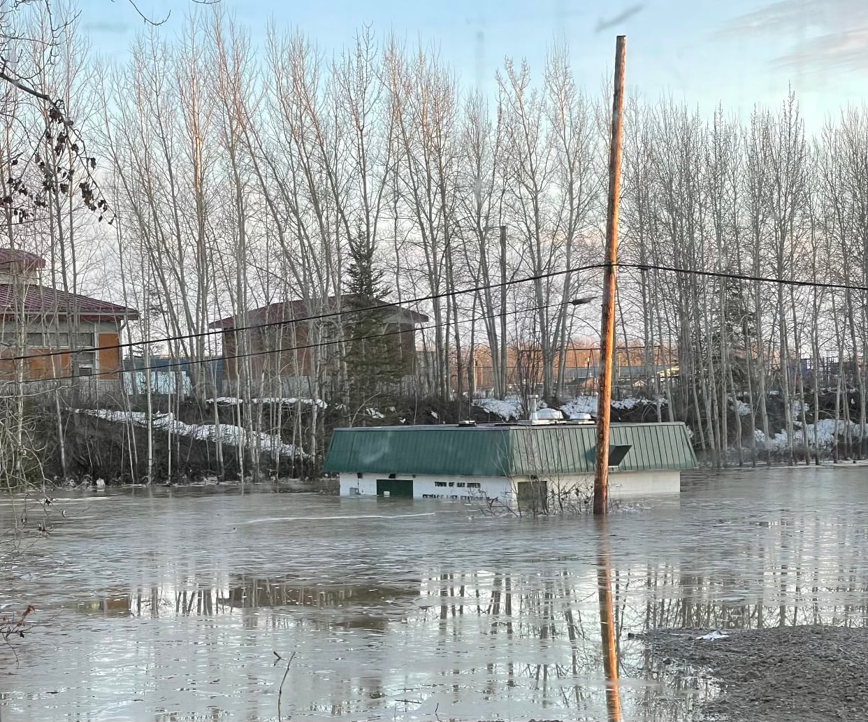 A lift station in Hay River almost entirely underwater in May 2022. Flooding that year damaged infrastructure and forced the evacuation of the community. (Submitted by Jane Groenewegen)
According to the spring water outlook, the Hay River basin will likely see spring flows that are “approximately normal” this year, though that could change depending on the weather. Ice jams are another factor that could cause “out of bank flooding, regardless of flow,” the report says.
Other communities more susceptible to springtime flooding include Kátł’odeeche First Nation in the South Slave; Fort Liard, Fort Simpson, Jean Marie River and Nahanni Butte in the Dehcho region; Tulita and Fort Good Hope in the Sahtu; and Fort McPherson and Aklavik in the Beaufort Delta.
The spring water outlook projects a near-normal spring flow across the territory but notes that ice jams and weather conditions including rapid warming or heavy rainfall could cause flooding. Communities can refer to the territory’s water monitoring bulletin for regular updates.
While the break-up season can be exciting for Hay River, Groenewegen says residents are still affected by the 2022 flood which damaged infrastructure and prompted the evacuation of the community.
“I don’t really think that psychologically Hay River is over the flood of ’22 yet. And so I really hope that we don’t get any repeat disasters like that.”