

Listen to this article
Estimated 3 minutes
The audio version of this article is generated by AI-based technology. Mispronunciations can occur. We are working with our partners to continually review and improve the results.
THE LATEST:
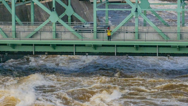
The City of Gatineau is telling residents to brace for the possibility of a second flood in the coming days.Environment Canada is forecasting 30 to 50 mm of rain in the National Capital Region late Wednesday.The Ottawa River Regulation Planning Board says water levels could increase gradually in all locations over the next few days due to rain.
The City of Gatineau is encouraging residents to stock up on supplies and sandbags over concerns about potential major flooding in the days to come.
Its advice comes as Environment Canada is forecasting a large amount of rain to fall on the National Capital Region starting late Wednesday.
The city’s latest flood update, issued on Tuesday, cited information from the Ottawa River Regulation Planning Board warning of a gradual rise in water levels in some areas starting either Wednesday or Thursday.
“The possibility of a second peak within Gatineau cannot be dismissed,” the city said.
In its own update Tuesday, the board said water levels and flows on the Ottawa River could increase gradually in all locations over the next few days due to rain.
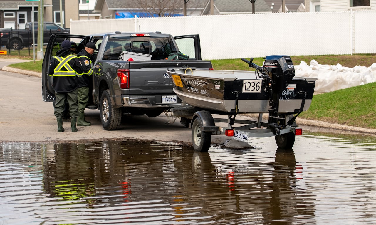 Gatineau, Que., firefighters work near one of their boats in an area near the Ottawa River on April 21, 2026. (Jason MacLellan/CBC)
Also on Tuesday, Environment Canada issued a yellow rainfall warning for the region, flagging the potential for 30 to 50 mm of rain.
Showers will initially move through the area late Tuesday afternoon, but a second system will bring heavy, widespread rain beginning late Wednesday, the agency predicted.
“The ground, already near saturation, has little ability to absorb further rainfall,” according to the forecast.
In anticipation of rising water levels, the City of Gatineau said trash collection on roads affected by flooding will be temporarily suspended.
What you need to know
In Ottawa, there were 15 locations as of Monday morning where residents could pick up sand and sandbags.
The city keeps an updated list of road and pathway closures and an interactive map.
The City of Gatineau also has an interactive road closure map that lays out sandbag stations and waste drop-off locations in the hardest-hit areas.
Several dozen roads have been affected by flooding, some of which are only accessible by boat. City officials have suggested some roads could soon be reopened to local traffic.
A flood relief centre is open at the Centre sportif de Gatineau at 850 boul. de la Gappe from 9 a.m. to 7 p.m. daily.
The Ecolos ferry between Clarence-Rockland, Ont., and Thurso, Que., remains closed and there are restrictions on the Bourbonnais ferry between Gatineau’s Masson-Angers area and Cumberland in east Ottawa.
People living in communities outside Ottawa-Gatineau can check their municipality’s website for the latest on flooding in their area.
Aside from the Ottawa River, the Mississippi Valley Conservation Authority has a flood warning in place for Dalhousie Lake and flood-prone areas of the Mississippi River.
People should take precautions like checking sump pumps and moving valuables from basements, the authority said.
Quebec says there is moderate flooding, which means there are risks of people having to leave their homes and sewer backups, on the Petite Nation River around Ripon.