
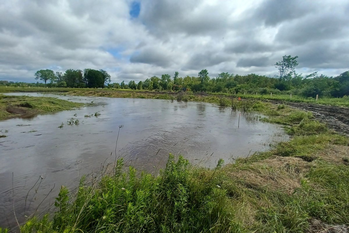
Conservation authorities can’t eliminate flooding, but they can reduce its severity by guiding land-use decisions so people can stay safe when water levels rise
As winter loosened its grip this spring, warmer temperatures and steady rain worked together to melt the snowpack across the Nottawasaga watershed. As creeks and rivers rose, the Nottawasaga Valley Conservation Authority (NVCA) issued nine flood messages — some urging caution around fast-moving water, others warning residents to be alert for possible flooding.
While some nearby areas such as Lake Simcoe and Muskoka experienced significant flooding this spring, the Nottawasaga River valley did not see the same impacts. In the Nottawasaga watershed, snowmelt occurred more gradually, allowing rivers to carry runoff downstream without (for the most part) overwhelming their banks.
By comparison, lake-based systems typically respond with water levels rising quickly during snowmelt and rain but draining much more slowly. Factors such as ground conditions, existing water levels, natural areas and development also play a role, which is why flooding can occur in one area while nearby areas experience little or no flooding during the same weather events.
But what exactly do we mean when we talk about flooding?
At its core, flooding is a natural process. Rivers and streams have always spilled over their banks during snowmelt and heavy rainstorms. Problems arise when homes, roads and other buildings are placed in areas where water naturally wants to go.
Complicating this, flooding isn’t caused by just one thing. Aging stormwater systems (such as ditches, culverts, stormwater ponds, etc.), frozen or already saturated ground, climate change, and the way land has been developed all play a role.
That raises an important question: how do we keep people and property safe when water levels rise?
Conservation authorities are often asked whether their role is to stop flooding altogether. The answer is no. As a natural process, conservation authorities cannot eliminate flooding, but they are responsible for managing flood risk to protect people and property.
Preventing the worst impacts of flooding starts long before the water rises. In the Nottawasaga watershed, we are fortunate that more than 40 per cent of land remains in natural areas (such as wetlands, floodplains and natural channels), which provides safe places for water to go without threatening homes, roads or farmland.
Good planning looks at how water naturally moves across the landscape and designs development to work with natural drainage patterns, helping reduce how fast and how high water levels rise during storms. This doesn’t stop flooding from happening, but it reduces its severity and protects people and property before extreme weather occurs.
When reviewing proposals for new developments or even for an addition to your neighbour’s house, NVCA assesses whether buildings will be safe during major storm events, whether people can safely leave the area if flooding occurs, that emergency services can get in as needed, and whether new development would make flooding worse for neighbouring or downstream properties.
Think of a bathtub. When it’s full, the water stays neatly inside. But step into it, and the water rises and spills over. Buildings have a similar effect on the land. They displace water, and that water has to go somewhere. The goal is to make sure, for example, it doesn’t end up in someone else’s basement.
Even with careful planning, some risk remains. Avoiding natural hazard areas altogether is always the safest option. However, development in hazard areas is sometimes unavoidable, and that’s where NVCA comes in. Building in flood-prone areas always involves accepting a level of risk, even though conservation authorities use the best available science to ensure buildings are safe during major storms and that people can evacuate if flooding occurs.
If you’re considering development in an area with flood risk, we encourage you to contact NVCA early. Understanding the risks upfront can help avoid surprises later — and help keep our communities safer when the waters rise.
Jennifer Vincent is CAO of the Nottawasaga Valley Conservation Authority and Maria Leung is the Nottawasaga Valley Conservation Authority’s senior communications specialist.