
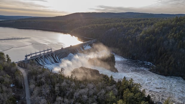
Many people affected by flooding this spring have been asking a question: are the dams and reservoirs in the Ottawa River basin doing enough to protect their properties from rising water?
This year marks the fourth time in the last decade that the Ottawa River has reached major flooding levels, putting roads, buildings and people’s safety at risk. It last happened in 2023, following earlier flooding in 2019 and 2017.
CBC News has spoken with many people during this spring’s flooding season, including in Fort-Coulonge, a small western Quebec village of 1,317 inhabitants that was under a state of emergency from April 19 to 23.
Several residents said they’ve observed near empty hydropower facilities upstream and wanted to know if the reason they’re seeing severe flooding is because dams and reservoirs aren’t holding enough runoff.
But does that theory hold water?
According to a hydrologist and the agencies that manage dams and reservoirs on the Ottawa River, it’s not that simple.
How many dams and reservoirs are on the Ottawa River?
The Ottawa River is one of Canada’s longer ones, at 1,271 kilometres. Its headwaters are due north of Ottawa, with its route following the shape of a giant letter C before emptying in the St. Lawrence River.
Its catchment area is much larger. The watershed covers more than 146,000 square kilometres — roughly twice the size of New Brunswick.
But only about 40 per cent of that basin is regulated by reservoirs. There are 13 main ones — almost all of them in the north — each able to hold more than 200 million cubic metres of water that can be released by dams.
It’s a very delicate balance between how to control the flood and thinking about what might come after.- Ousmane Seidou, Professor, University of Ottawa
There are dozens of other dams along the river’s main stem, but only the Des Joachims facility has any real storage capacity.
What’s the main role of the dams and reservoirs?
Given their limited ability to store water, most of the dams along the Ottawa River — like the Chats Falls and Chenaux generating stations — cannot significantly alter the flow of water downstream. Nor is it their job.
“The main purpose of the dams on the Ottawa River is hydropower production,” explained Ousmane Seidou, a professor of water resources engineering and director of the hydraulics lab at the University of Ottawa.
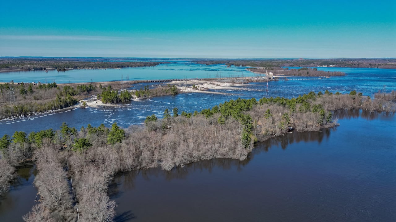 The Chats Falls Generating Station, jointly owned by Ontario Power Generation and Hydro-Québec, is used to generate hydropower but has little ability to mitigate flooding because it lacks sufficient storage capacity. (Michel Aspirot/CBC)
Upstream, the 13 principal reservoirs serve a dual role generating electricity and mitigating flooding.
Who operates the reservoirs?
The Ottawa River Regulation Planning Board coordinates the management of the 13 principal reservoirs but does not directly control them.
Four are run by Hydro-Québec, three by Ontario Power Generation, five by Quebec’s environment ministry and one by the federal government through Public Services and Procurement Canada.
While each agency or department is responsible for the day-to-day operation of its facilities, the board says they work together to mitigate flooding. During the spring, when more rain and snowmelt enters the river, that can mean daily meetings.
“Every year, a portion of this runoff is stored in the 13 principal reservoirs,” the planning board explained in a statement to CBC News.
The collaboration between reservoir operators makes it “possible to reduce the intensity and frequency of flooding along the Ottawa River and its main tributaries particularly during snowmelt and heavy precipitation,” the board wrote.
What happens at these reservoirs in the spring?
Flooding happens when the amount of spring rain and snowmelt is greater than the capacity of the reservoirs upstream, according to the Ottawa River Regulation Planning Board.
Operators try to get ahead of that risk.
From December to March, Hydro-Québec gradually releases water from its reservoirs until they’re nearly empty to make room to hold back the spring precipitation.
Other reservoir operators do the same, but the timing of the drawdown and refill can differ.
The challenge, engineering professor Seidou said, is predicting how much water to release — and when — to reduce flooding while still generating electricity.
“You don’t want to have a full [reservoir] and flood coming,” he said. “It’s a very delicate balance between how to control the flood and thinking about what might come after.”
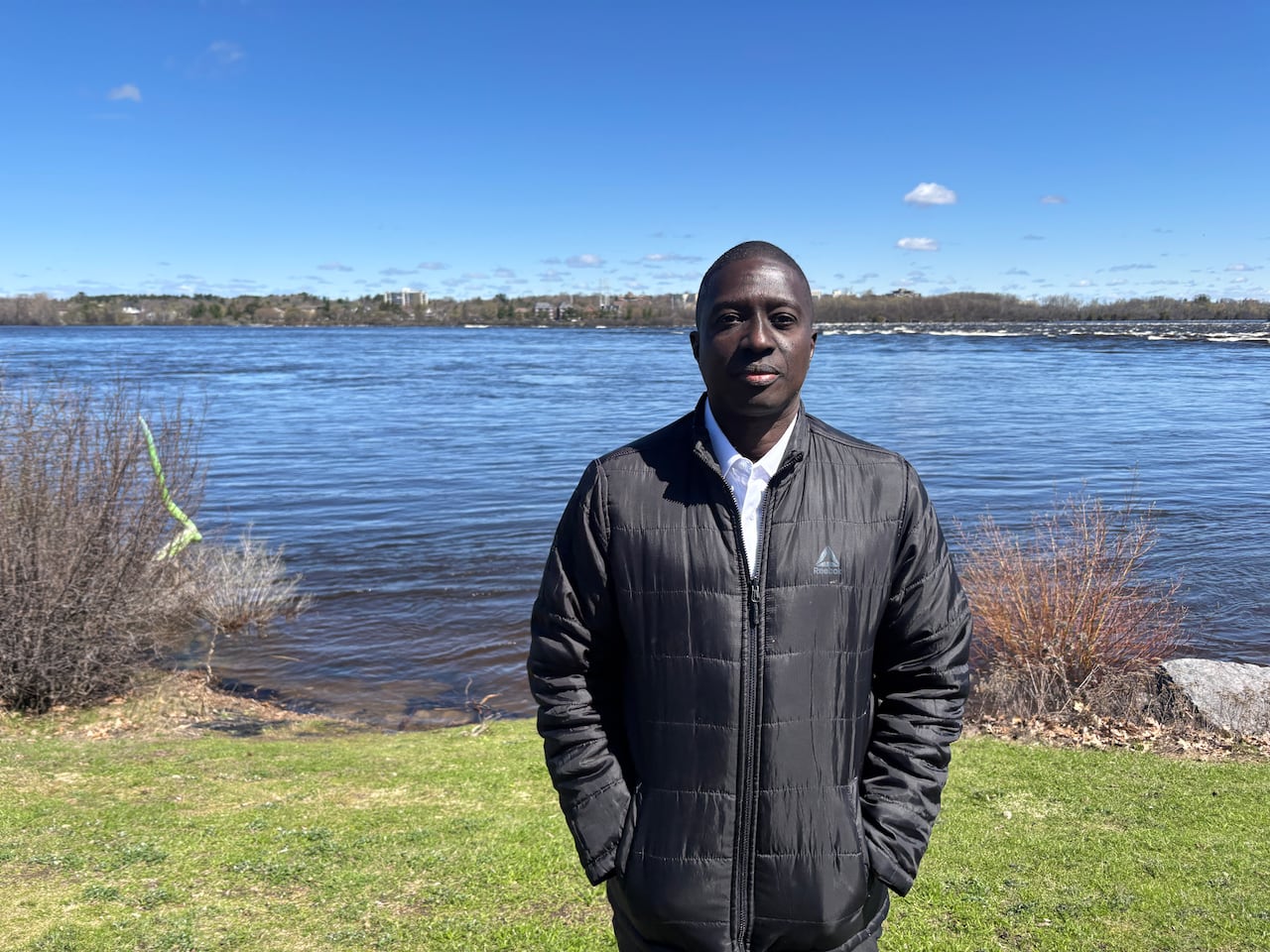 Ousmane Seidou, who specializes in water resources engineering and hydraulics, says operators have to tread a fine line between releasing and holding back enough water in the reservoirs to balance the needs of electricity generation with flood mitigation. (Jodie Applewaithe/CBC)
Operators know that the snow and ice up north can often melt weeks later than it does furhter south.
That’s where things stand this spring. The Ottawa River Regulation Planning Board says it still expects large volumes of water from the northern part of the basin to head downstream. Especially if there’s heavy rain, the river between Mattawa to Lac Coulonge could see more spring runoff.
“Sometimes it melts slowly and there’s no other peak,” said Pascal Poinlane, a spokesperson with Hydro-Québec. “But if it is melting with high temperatures, combined with pouring rain for a few days, then that can bring a second peak.”
How do officials respond to residents’ concerns that reservoirs are making flooding worse?
Some residents in Fort-Coulonge say they’ve observed hydropower facilities that appeared almost empty while communities downstream were being flooded.
CBC News visited Ontario Power Generation’s Des Joachims facility in Renfrew County on April 24, where it appeared water was still being released from the facility. At the same time, it indeed looked as though some of its storage capacity remained unused.
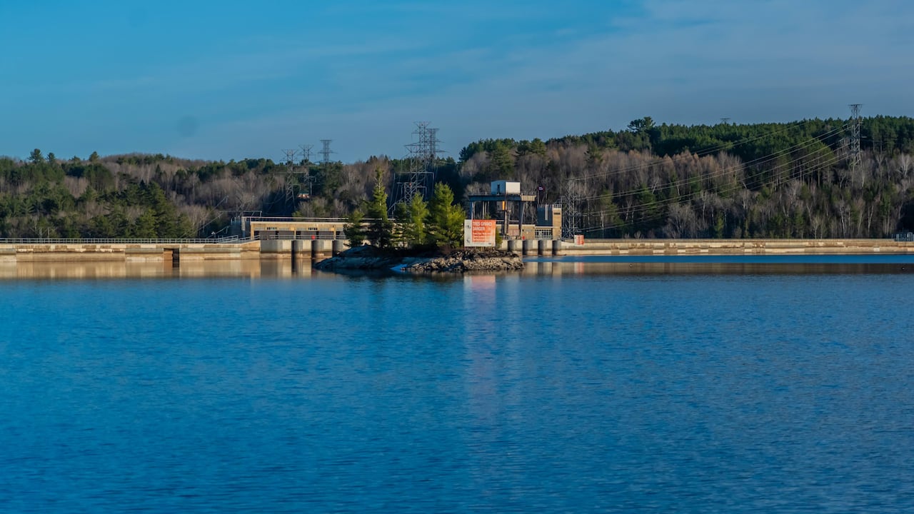 CBC News visited the Des Joachims Generating Station on April 24, where it appeared water was still being released from the facility though some of its storage capacity remained unused. (Michel Aspirot/CBC)
The planning board said that’s because the reservoir has to refill in two stages to relieve flooding in communities downstream like Fort-Coulonge, Que. but also those upstream, like Mattawa, Ont.
“Residents who observe river conditions from the highway at Deux-Rivières only see a dry riverbed from their viewpoint, but a bird’s eye view would reveal that further away from the highway, the river is flowing, with levels raised about halfway to the maximum reservoir level,” the board said in a statement.
Des Joachims is the smallest principal reservoir within the Ottawa River watershed, Ontario Power Generation added, and even if it holds back water, the impact on downstream flooding would be limited. It has a capacity of 229 million cubic metres, whereas the Baskatong reservoir north of Maniwaki can hold 13 times more water.
 Hydro-Québec operated four of the main reservoirs within the Ottawa River watershed, including Dozois, Decelles-Rapid VII, Cabonga and Baskatong. (Paul Chiasson/The Canadian Press)
CBC News also raised residents’ concerns that policy decisions around watershed management had changed in recent years, exacerbating flooding.
According to the planning board, the framework has remained virtually the same since the 1980s when it was established, but said climate change has made regulating the Ottawa River more complex.
This spring, the board said a preliminary assessment of precipitation received between March 1 and April 15 shows the total amount was the highest recorded in the last 50 years.
“The widespread flooding observed in Ontario and Quebec … is evidence that areas where there are no dams and reservoirs experienced flooding this year,” it wrote.
So, do we need more reservoirs?
As for what spring flooding could look like in the future, Seidou, the University of Ottawa engineer, says it’s hard to predict because of how many factors are at play.
More precipitation, urban development and the loss of forests has led to more groundwater runoff, he said.
“That can partly explain what’s happening now – the perception that there’s more flooding,” Seidou said.
“I don’t think you can blame the reservoirs for flooding,” he said. “We know that they [have] a little bit of control, but keep in mind it is limited.”
Does that mean more reservoirs are needed to bulk up the river’s capacity for rising water?
The planning board said that wouldn’t make financial sense.
“The main reason is that the size of the additional land needed to expand existing or build new reservoirs would be so large that several communities and infrastructure would need to be relocated,” it said.
The board also noted that preventing flooding isn’t possible in years where spring runoff is significant.
I don’t think you can blame the reservoirs for flooding. We know that they [have] a little bit of control, but keep in mind it is limited.- Ousmane Seidou, University of Ottawa professor
Instead, Seidou pointed to other ways to deal with flooding. For instance, the Ottawa River Regulation Planning Board could develop long term flood forecasts, using historical data to predict and model outcomes over the next few years.
He also suggested reinforcing infrastructure by placing flood dikes along parts of the river, raising homes located in floodplains, and avoiding new development near the water.
“We have to look at a combination of measures which minimize the flood risk given that we cannot eliminate it,” Seidou said.