
Published on May. 9, 2026, 1:30 PM
Updated on May. 9, 2026, 9:15 PM
Southern Ontario folks will need to stay alert on Saturday as a threat of thunderstorms, possibly severe in some areas, exists.
Southern Ontario is facing a round of active weather on Saturday, with the potential for thunderstorms–some of which could reach severe limits.
Some of the storms could produce heavy rain, small hail and strong winds. The setup will be made favourable from milder air and southerly winds in the region.
RELATED: Confidence increasing in a very strong El Niño by this summer
Stay alert and pay attention to the local forecast if you have any outdoor plans.
 Weather Highlights:
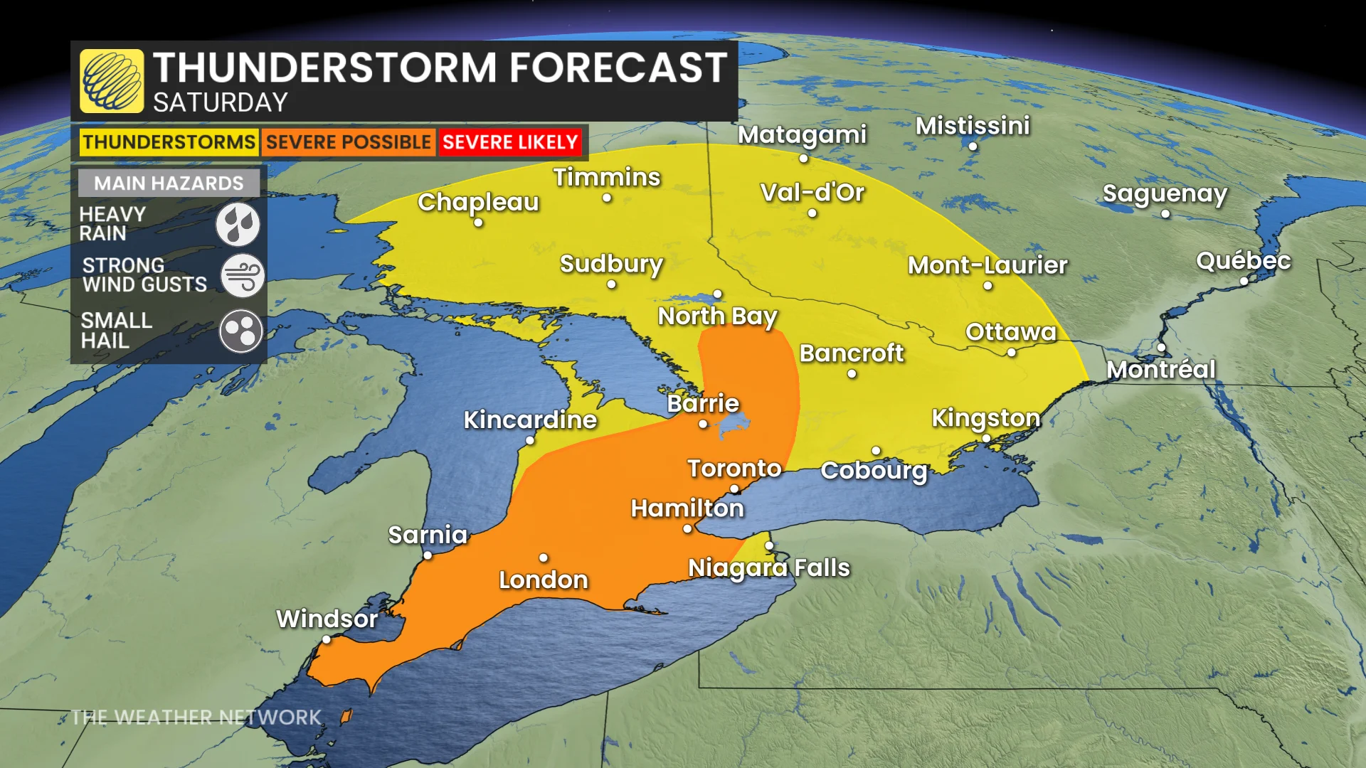
Saturday will bring thunderstorms to Ontario, with a risk of some turning severe
A broken line of storms potentially extending from Windsor into cottage country will develop by late afternoon, and track southeast through the evening
Heavy downpours, small hail and strong winds are possible, especially in inland areas with higher thunderstorm energy
Saturday sees widespread thunderstorm threat
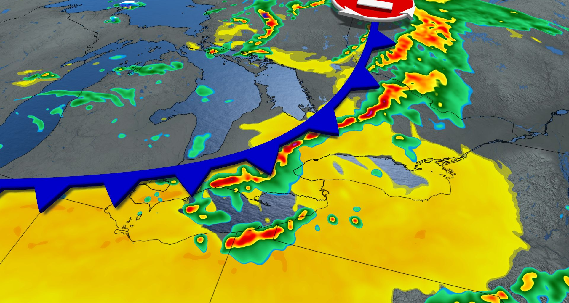
A more organized weather system is expected to move across northeastern Ontario Saturday, sparking thunderstorm development near Chapleau, Sudbury, and Timmins.
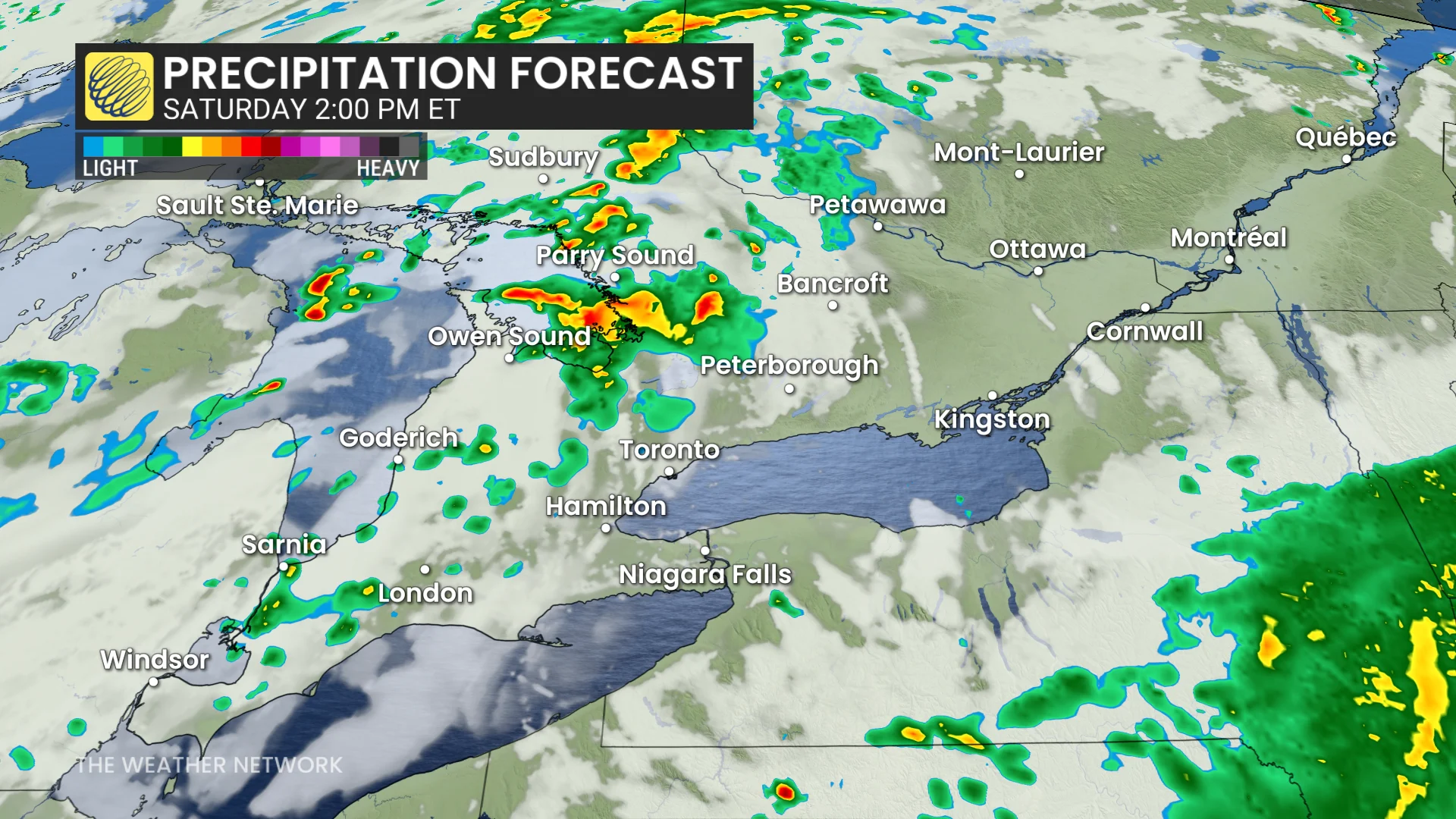
Scattered showers and maybe a few rumbles of thunder will develop late morning into the early afternoon around Lake Huron and Georgian Bay. Only weak activity is forecast.
A broken line of storms potentially extending from Windsor into cottage country will develop by late afternoon, and track southeast through the evening hours.