
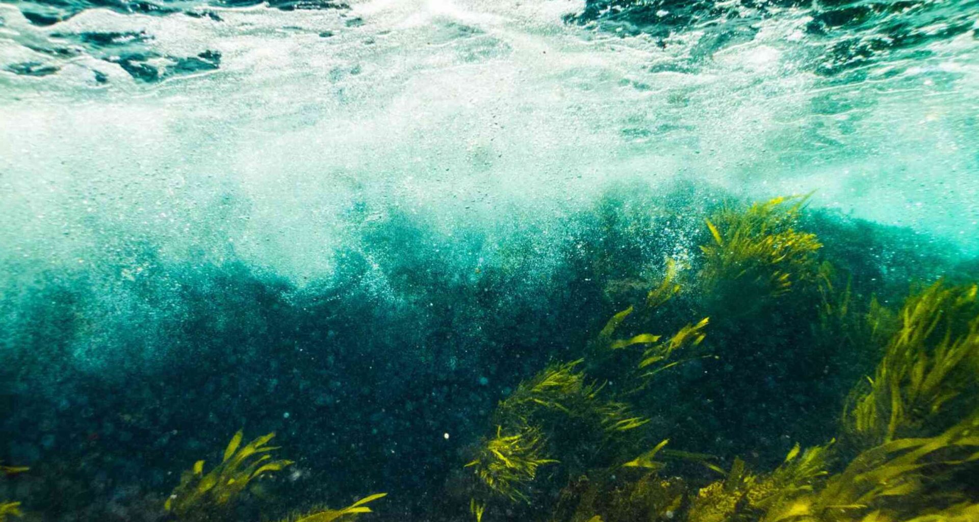
Most weeds die when they’re pulled apart. One type does the opposite. Every broken fragment of it can drift away, take root, and grow into an entirely new plant.
That ability has helped an invasive underwater weed spread through hundreds of lakes across southern Quebec.

Only the cold has slowed its advance. Farther north, lakes stay frozen longer and summers remain too short for the plant to gain a foothold.
A new forecast suggests that protection is fading and identifies which lakes are most vulnerable to invasion next.
A weed worth watching
The plant is called Eurasian watermilfoil, Myriophyllum spicatum. It has spent decades quietly taking over lakes and rivers, building thick mats just below the surface.
Those mats are the problem. They block sunlight, crowd out native plants, and pull oxygen from the water as they rot. When the plant is cut, it grows back from the fragments.
A research team was led by Grace Fedirchuk, a biologist at the University of Quebec at Rimouski (UQAR).
She wanted to know where the plant lives and where it could appear next. Her team set out to forecast its spread.
Warming in the north
For years, the cold did the work of keeping this plant out. Northern lakes froze hard and stayed chilly into summer, rarely warming enough for the weed to take hold.
Climate change is loosening that grip. As average temperatures climb, lakes that once stayed cold well into summer are instead warming earlier in the year and remaining warm for longer. The pattern is not unique to Quebec.
Warm-loving water plants elsewhere have been forecast to creep poleward as the climate heats, settling into newly comfortable territory, as one paper on a floating weed laid out.
Building the forecast
To predict the spread, the team fed a model thousands of records of where the plant has and hasn’t turned up.
Each record came with two dozen local measures, from temperature and rainfall to lake size and nearby population.
The model learns which conditions favor invasion and also estimates the likelihood of invasion in other lakes. The team applied the model to roughly 12,000 watershed areas across Quebec.
The team simulated six scenarios, each combining different warming and population projections through 2100.
A forecast like this depends heavily on the quality of its data. An earlier study on the same plant found water temperature and human access were among the clearest signals of where it would appear.
Local data wins
Here the study showed something unexpected. They ran the model three ways: using Quebec data, the North American range, and the plant’s native European range.
They compared which version predicted best, and the local version won. Not by a little, either.
The model built only on Quebec data predicted far more accurately than the continental or European versions, even though those had far larger datasets. That result carries a lesson.
A species expanding into new territory does not necessarily behave the same way it does in regions where it has been established for decades. The edge had to teach the model.
A driving force
When the team checked which conditions carried the most weight, one answer rose above the rest.
The strongest signals were how hot a lake gets and how warm it stays, followed by rainfall and water retention.
One human factor stood as well – how many people live around a lake. Crowded shorelines mean more docks, more launches, and more boat traffic.
This is exactly how the weed hitches a ride between lakes. A broken stem is all it takes.
Fragments cling to propellers and trailers, survive the trip overland, and root in a new lake. This was seen in an earlier model that was tied closely to boater movement and road access.
Mapping the spread
Under the warmest scenarios, the area where the weed could take hold grows nearly fivefold, a sweeping expansion across Quebec’s waters that are currently off-limits to it.
The biggest gains cluster in two places. Western Quebec lights up as newly vulnerable, and so does a long stretch along the St. Lawrence.
Those are not random spots. They sit where rising heat and dense human activity overlap.
These were the two factors the model identified as most likely to make a lake vulnerable to invasion.
Tangible next steps
Until this study, no one had a province-wide picture of where Eurasian watermilfoil would go as the climate warmed.
Now there is one, built on the discovery that local records beat broad ones for predicting a plant on the move.
That changes what managers can do. Instead of chasing the weed after it arrives, they can watch the forecast and try to stop it before it takes root.
Prevention has always been the cheapest way to fight an aquatic invader, and a sharper map makes it possible.
The cold that long protected Quebec’s northern lakes is fading, and the province can now see where the weed is most likely to spread next.
The study is published in Freshwater Biology.
—–
Like what you read? Subscribe to our newsletter for engaging articles, exclusive content, and the latest updates.
Check us out on EarthSnap, a free app brought to you by Eric Ralls and Earth.com.
—–