
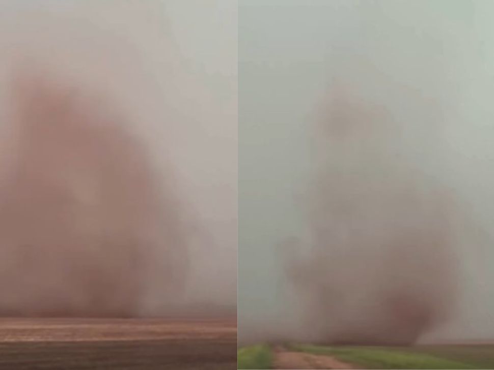
After multiple tornado reports, damaging hail, and localized flooding swept across Manitoba on Tuesday, forecasters are warning that another round of severe weather could be on the way before conditions finally cool down.
“We have a possible tornado that was reported to us through the RCMP,” says Shannon Moodie, a meteorologist with Environment and Climate Change Canada (EC). “That was at 3 p.m., and that was 10 kms southeast of Dauphin.”
Three other tornadoes were reported on Tuesday afternoon.
Related Stories:
“We had another tornado report which was through a video posted on social media that occurred at 4:30 p.m., east of Manitou. Then we had two tornadoes that were occurring at the same time. This was through a video posted at about 5:15 p.m. just south of Carman.”
There were numerous reports of hail the size of a quarter. However, one community reported hail that was six cm in width at 2:00 p.m., west of Baldur. Heavy rainfall also poured down across southern Manitoba over the afternoon and evening, with Carman and St. Rose reporting localized flooding.
The following are precipitation totals for Tuesday, June 2nd through Wednesday, June 3rd at 5am, and are courtesy PembinaValleyOnline Rainwatchers and the Manitoba Ag Weather Network:
Winkler (south of city) – 92.7mm (3.7 inches)
Winkler (in city) – 86mm
Plum Coulee – 70.61mm
Woodmore – 70mm (2.8 inches)
Altona – 62mm
Manitou – 61.3mm
Kane – 57mm
Reinland – 56.8mm
Jordan – 54.9 (2.2 inches)
Dominion City – 46.3mm
Carman – 40mm (1.6 inches)
Elm Creek – 33.5mm
Morris – 32.2mm (1.3 inches)
Morden (in city) – 28mm
Windygates – 26.5mm
Clearwater – 23.4mm
Steinbach – 22.6mm (9/10)
Gretna – 14mm
25mm = 1 inch
Wednesday expecting more severe weather
“So we do have another possibility of severe weather this afternoon and into the evening, through the Red River Valley and southeastern Manitoba.”
The main aspects of the severe weather in southern Manitoba, including Winnipeg, on Wednesday is large amounts of rainfall leading to localized flooding, as well as large hail that could cause significant damage. There are strong winds also expected with the system.
As of 5:30 a.m., there are no warnings or watches for Winnipeg or surrounding areas.
“It’s summertime. Severe weather can develop quite quickly. We recommend that people always check in with the weather, especially if they have any outdoor plans. Keep an eye on any watches or warnings.”
Currently, tomorrow’s forecast looks cloudy with much cooler weather than Manitobans have been experiencing, with a high of 19 degrees Celsius. By the weekend, the temperature will rise back up to 30 degree highs.