

Listen to this article
Estimated 3 minutes
The audio version of this article is generated by AI-based technology. Mispronunciations can occur. We are working with our partners to continually review and improve the results.
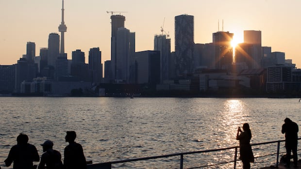
A couple months ago, after a long, cold winter, it seemed like Toronto might never be warm again. This week, Mother Nature’s making up for lost time.
Temperatures are expected to stay above 32 C almost all week. It’s all part of the “first extreme heat event of the summer” for Ontario, resulting from a heat dome south of the border, according to the Weather Network.
Kicking off Monday, Environment Canada predicts a high of 29 C, feeling more like 32 with the humidity.
The hot stretch is expected to peak Wednesday and Thursday — coinciding with Canada Day celebrations and the final World Cup match at Toronto Stadium — with temperatures of 35 C in the Environment and Climate Change Canada forecast for both days.
WATCH | Toronto’s FIFA World Cup cooling plan: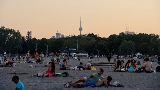
How Toronto will keep people cool during the FIFA World Cup
The city says it is working to keep public stay safe during periods of extreme heat this summer. CBC’s Mercedes Gaztambide breaks down the measures in place to keep people cool during the FIFA World Cup.
The lows all week will hover around the mid- to low-20s, the national weather agency says.
But all that heat doesn’t necessarily mean it will be sunny. There’s a 30 to 40 per cent chance of showers is in the forecast from Monday night to Friday — with a risk of thunderstorms on Monday night and Tuesday, according to Environment and Climate Change Canada.
With all that moisture in the air, the humidex for inland areas “will easily reach into the 40s,” the Weather Network says.
During the “prolonged period of very hot conditions,” Environment and Climate Change Canada is recommending that people in the city “check on family, friends and neighbours, who are at higher risk, particularly if they live alone, to make sure they have a cool space.”
Some relief is expected to come Sunday, the national weather agency predicts, when the daytime high is forecast to come down to 28 C. The low for Saturday is also expected to drop just below 20 C.
City guidance on keeping cool
The city has expanded its heat relief measures this year after a record-breaking number of warnings were issued last summer.
WATCH | Toronto summers getting hotter: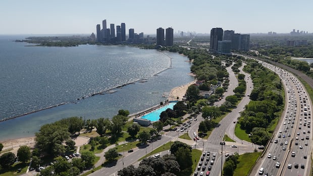
Unbearable heat, poor air quality: Is this the future of Toronto summers?
This summer has been one of the warmest on record for Toronto. But is it a one-off or the city’s new normal?
During heat warnings, under the new city strategy, the city will open over 500 cooling spaces, extend city pool hours and set up mobile water stations.
The city offered several tips last month to avoid heat-related illnesses like heat stroke during the summer:
Drink water regularly, even before feeling thirsty.Wear light, loose clothing and wide-brimmed hats outdoors.Limit time in the sun and plan outdoor activities during cooler parts of the day such as early morning or evening.Keep indoor spaces cool by closing blinds or curtains during the day and limit the use of ovens and dryers.If air conditioning isn’t available in your home, use fans or a cross-breeze to get air moving.Take cool showers or use wet towels to lower body temperature.Never leave people or pets in parked vehicles, even for a short time.Schedule regular check-ins or visits with family, friends or neighbours, especially if they have a health condition or are an older adult living alone.