
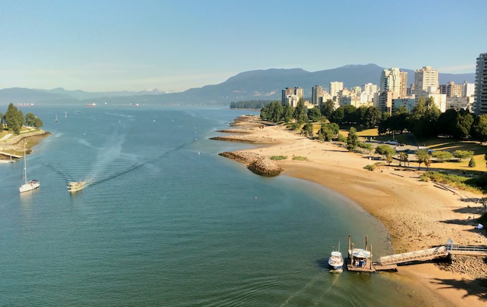
You might not see the sun first thing on July 1.
The Metro Vancouver weather forecast includes warming temperatures after a slightly cooler, wetter break.
Canada Day might start a little wet, but nothing to warrant concern, says Environment Canada meteorologist Ian Hubbard.
The forecast for Wednesday (July 1) includes drizzle overnight and into the early morning and then clearing skies in the afternoon and into the evening. Temperatures should reach a high of 21 C on the coast (just shy of the seasonal average of 22 C).
After Canada Day, the forecast includes a mix of sun and cloud for a couple of days, although Thursday looks a bit cooler, with a high of 19 C. Friday’s forecast includes a slightly warmer high of 22 C as a ridge of high pressure strengthens in the region.
“By the time we hit Friday, we’re just seeing the ridge right over top and sunny skies as we head into the weekend,” he notes. “It looks like a good clearing trend on the way as the week goes on with some pretty good sky conditions and decent temperatures, but not too hot.”
Hubbard says temperatures will warm up nicely over the weekend but aren’t expected to break any records or come close.
Metro Vancouver weather forecast
Heading into next week, the ridge of high pressure may begin to weaken, although forecast confidence wanes this far in advance.
“As you get towards later in the day Monday or into early Tuesday, you’re going to start to see maybe some more showers or drizzle push in there with a little bit of cloud,” he explains.
So far, the department isn’t tracking any significant storm or major heat wave, but a shift in conditions is possible.
The long-term summer forecast shows above-average heat with drier-than-normal conditions.