
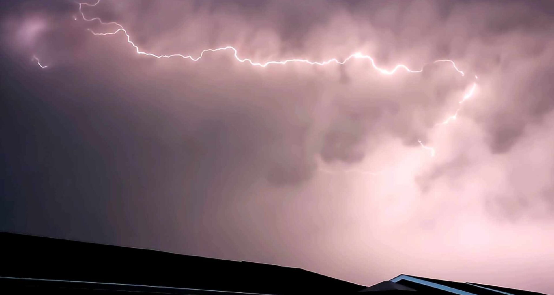
A severe thunderstorm watch issued for the Airdrie area on Canada Day has ended, though showers, fog and another thunderstorm risk remain in the local forecast.
Environment and Climate Change Canada issued the watch late Wednesday morning for Rocky View County near Airdrie and Crossfield, warning that conditions were favourable for severe thunderstorms capable of producing strong wind gusts, large hail and heavy rain.
The watch ended shortly after 9 p.m. Wednesday.
The alert had been issued at 11:13 a.m., as Canada Day events were underway across Airdrie. Environment Canada listed the impact level as moderate and forecast confidence as high.
“When thunder roars, go indoors! Lightning kills and injures Canadians every year,” Environment Canada said in the alert.
Airdrie’s updated forecast for Wednesday night called for partly cloudy conditions, with a 60 per cent chance of showers early in the evening and a risk of a severe thunderstorm.
Fog patches were expected to develop overnight, with a low of 8 C.
Related Stories:
More showers possible Thursday
The unsettled pattern is expected to continue Thursday, though no severe thunderstorm watch was in effect as of Wednesday night.
Environment Canada’s updated forecast calls for a mix of sun and cloud Thursday, with fog patches dissipating in the morning.
There is a 60 per cent chance of showers in the afternoon, along with a risk of a thunderstorm.
Thursday’s high is forecast at 20 C, with a UV index of six, or high.
Thursday night is expected to be partly cloudy, with a 60 per cent chance of showers early in the evening and a risk of a thunderstorm.
The overnight low is forecast at 8 C.
Weekend forecast shifts
Friday is forecast to be cloudy, with a 60 per cent chance of showers and a high of 20 C.
Friday night is expected to be clear, with a low of 6 C.
Saturday is forecast to be sunny, with a high of 19 C, followed by a clear night and a low of 6 C.
Sunday is expected to bring a mix of sun and cloud, with a 30 per cent chance of showers and a high of 19 C.
Cloudy periods are forecast Sunday night, with a low of 6 C.
Warmer weather possible next week
A warmer start to next week remains in the forecast.
Monday is expected to bring a mix of sun and cloud and a high of 24 C, followed by cloudy periods Monday night and a low of 9 C.
Tuesday is forecast to bring a mix of sun and cloud, with a 30 per cent chance of showers and a high of 27 C.
Airdrie’s normal temperatures for this time of year are a high of 21 C and a low of 8 C.
Meteorologist warned of stormy July pattern
Brian Proctor, a meteorologist with Environment and Climate Change Canada, said Tuesday that southern Alberta is moving into peak summer severe weather season.
“We’re starting to move into peak summer severe weather season for southern Alberta,” Proctor said. “It’s likely that we’re going to see more storms coming in, and we start seeing the temperatures build through the weekend.”
He said that pattern could bring more typical summer weather to the region.
“That means warmer, but also stormier,” Proctor said. “There is more convective potential — the possibility of hail and the usual summer severe weather we get in this part of the world.”
Proctor had also said residents heading to outdoor events should be prepared for changing weather.
Asked whether people should bring sunscreen, an umbrella or both, Proctor said both would be wise.
“I would do the classic Calgarian approach to things and do both at this point,” he said.
Although the severe thunderstorm watch has ended, Environment Canada says residents should continue to monitor alerts and forecasts as conditions change.
Listen live to Air 106.1 FM for local news, weather, traffic and community updates throughout the day. Stream us anytime through the DiscoverAirdrie app or online.