
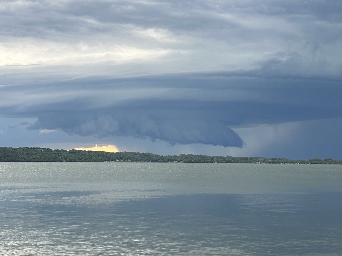
Updated at 6:52pm Sunday, July 5th – Environment Canada has issued a Severe Thunderstorm Watch – Yellow Level for the Pembina and Red River Valleys, as well as all of Southeastern Manitoba. A Tornado Watch remains in effect for the Manitou and Pilot Mound regions.
===========================================
Severe thunderstorm risk has returned to Southwestern Manitoba with Environment Canada issuing a Tornado Watch Sunday afternoon for the entire region as far east as the Pilot Mound and Manitou areas.
“A very warm and humid airmass is in place over the region today providing the fuel necessary,” explained CMOS Accredited Weathercaster Chris Sumner. “An approaching low pressure system, specifically the cold front, could be the trigger for thunderstorm, and possibly severe thunderstorm, development Sunday afternoon and evening.”
Tornado watches are issued when conditions are favourable for the development of severe thunderstorms capable of producing tornadoes.
In the Watch, the Environment Canada noted the potential for the following hazards.
– 6 to 8 cm hail
– 50 to 70 mm rainfall, locally
– 100 km/h wind gusts
– A few tornadoes
It has been less than a week since the last round of severe thunderstorms brought 150 to 200mm of rainfall to parts of southwestern Manitoba, with the Deloraine-Winchester and Boissevain-Morton regions hit the hardest with overland and flash flooding.
In the event of a tornado, or if a tornado warning is issued for your area: go indoors to a room on the lowest floor, away from outside walls and windows, such as a basement, bathroom, stairwell or interior closet.
Leave mobile homes, vehicles, tents, trailers and other temporary or free-standing shelter, and move to a strong building if you can. As a last resort, lie in a low spot and protect your head from flying debris.