
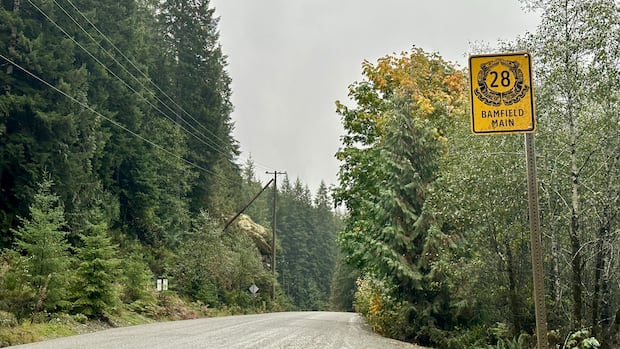
Twice in the last three years, communities on western Vancouver Island found themselves cut off by a wildfire that closed their lone road to the rest of the island.
It has prompted rising safety concerns, and now, work by local First Nations and regional leaders to create a proposal for a second route to connect communities including Port Alberni and Tofino.
Ditidaht First Nation Chief Counsellor Judi Thomas said an alternative public, paved road is vital for members of her community to access groceries, medical appointments, economic development and emergency services, and to serve as an evacuation route.
“For the Ditidaht people, it’s beyond a necessity — it’s part of the need for public safety, it’s part of reconciliation, and it’s really a community resilience issue,” she said.
“No community should have to wonder whether an emergency responder can reach them in time or not.”
In 2023, a wildfire caused weeks-long closures to Highway 4 — the only paved road to communities on the west coast of the Island. Last year, a wildfire on Mount Underwood closed the Bamfield Main Road, isolating the remote town of Bamfield, the Ditidaht First Nation and the Huu-ay-aht First Nations.
A network of privately owned gravel logging roads stretch between Port Alberni and the south Island.
John Jack, chief councillor for the Huu-ay-aht First Nations, said these roads are like “driving on a washboard” as they are riddled with potholes, kick up dust in the summer — which causes visibility issues, and are ill-maintained.
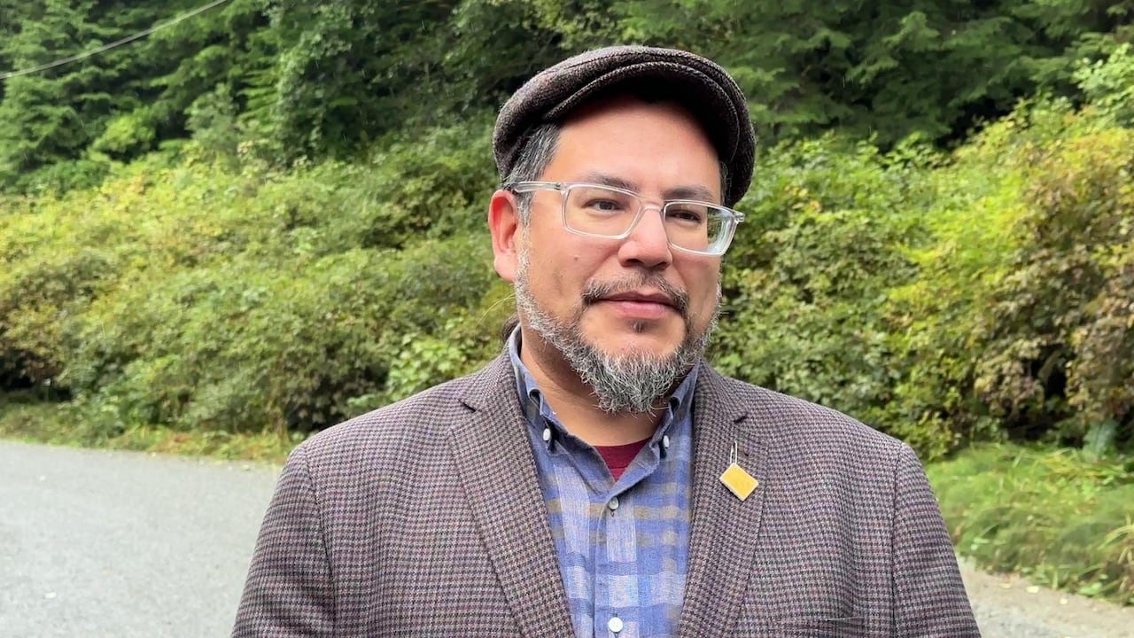 Huu-ay-aht First Nations Chief Councillor John Jack. (Kathryn Marlow/CBC)
Bob Beckett, the director representing Bamfield with the Alberni-Clayoquot Regional District (ACRD), says the roads not safe for many vehicles.
To make an alternative road, three logging routes are under consideration – but would need significant work to bring up to standard for residents and commercial vehicles, he said.
Two of these routes connect Bamfield to the south Island, passing by Cowichan Lake.
One, through Youbou, takes about two and a half hours between Port Alberni and Duncan, according to a 2025 report created by the B.C. Ministry of Transportation on possible emergency roads. It was used as a temporary detour during the two wildfires.
The second potential route, which passes below Cowichan Lake, would take about three hours and 10 minutes.
This is the path Thomas prefers, and says she has given B.C. letters of support from forestry companies, the ACRD, and other First Nations.
Both of these routes have were identified as “preferred viable options” by the province’s 2025 report.
A third option, which goes above Port Alberni past Horne Lake, would take about an hour to travel, the report said, but has “very steep sections.” As a result, the ministry identified it as an “adequate secondary option.”
Beckett says the ACRD is currently consulting with stakeholders to find consensus on one of these routes, which they hope to reach by the fall. At that point, the regional district hopes to ask the province’s support to get the chosen route safe and operational.
“Heaven forbid we have another incident this summer, the Bamfield to Youbou road would need considerable work again to bring it up to a reasonable standard,” he said.
“The key is to have a road fixed and maintained year round.”
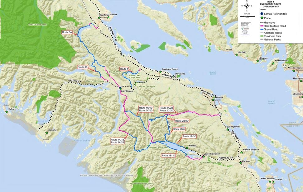 A map of possible emergency routes created by the B.C. Ministry of Transportation, in a July 2025 report. Route 1a, 1b, and 4 are the options the Alberni-Clayoquot Regional District are exploring. (B.C. Ministry of Transportation)
Jack says it’s critical to have an alternative route not just for emergencies, but to allow better access for communities year-round.
“The safety aspect is paramount, because on the logging roads, many of our people have passed away both in Huu-ay-aht and the Bamfield community just by having to rely on a logging road,” he said.
Jack said his nation spent decades calling for the Bamfield Main Road to be made safe for travel, particularly after a vehicle incident led to the death of his nation’s head hereditary leader in the 1990s. After two university students died in a bus accident on the road in 2019, the province completed work to chip seal and upgrade the road.
Thomas says she feels the alternative path is not far from a reality — but is currently wrapped up in the Ditidaht’s decades-long treaty negotiations. She wants to see B.C. designate the road a public road, not just a forestry service road, to ensure it has consistent upkeep in spite of passing through several jurisdictions.
“This isn’t just about building another road, it’s about protecting lives. It’s about ensuring communities remain connected during emergencies, it’s about supporting economic resilience, and about preparing for future climate-related events,” she said.
“We need to see commitment to move forward.”
The B.C. Ministry of Transportation said in a statement that it is aware of the ACRD’s work, and the importance of maintaining safe access for people in the region. However, it notes that areas that could have alternative routes are typically on private property and “would require extensive consultation and engagement with landowners, local communities and First Nations.”
“Decisions regarding any future transportation corridors or alternate routes would require further study, consultation and consideration,” the statement said.