

Listen to this article
Estimated 2 minutes
The audio version of this article is generated by AI-based technology. Mispronunciations can occur. We are working with our partners to continually review and improve the results.
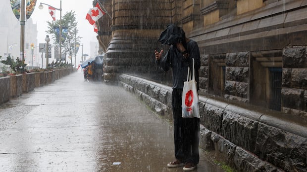
July 2026 started with one of the rainiest days on record for Ottawa, and will likely end as the rainiest month the city has seen in more than 150 years of weather data collection.
About 250 millimetres of rain had fallen at the Ottawa International Airport as of late Tuesday morning, according to Environment Canada warning preparedness meteorologist Peter Kimbell.
Another 25 millimetres or so expected to fall over Tuesday and Wednesday.
That would break Ottawa’s monthly rain record of 250.2 millimetres from 1899. (Environment Canada weather for Ottawa dates back to 1873.)
A special weather statement is in place for most of eastern Ontario until Wednesday, with forecasters setting a broad range of 50 to 100 millimetres of rain.
Kimbell said most of that rain had already fallen by late Tuesday morning, including 26.2 millimetres Monday and another 28 millimetres measured at the airport Wednesday morning.
While some people in Ottawa might be on edge because of July 1 storms and flash floods, which saw 118mm of rain at its airport, none of eastern Ontario’s six conservation authorities have issued a flood alert because of this storm.
Cataraqui Conservation in the Kingston area has had a flood outlook in place since May along Lake Ontario and the St. Lawrence, which means some risks from waves and storm surges.
Deep River and eastern Algonquin Park are not covered by the Environment Canada special weather statement.
There is also a severe thunderstorm watch in western Quebec until Tuesday evening. Rain and wind are specific risks with those potential storms.