
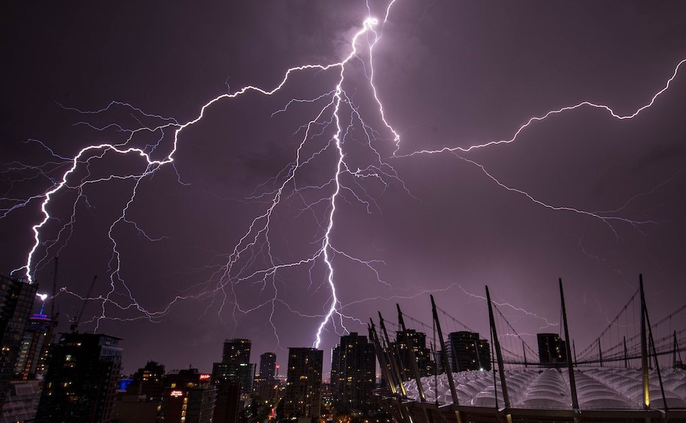
More storms are rolling into the region on Thursday and Friday.
We might be in for another impressive, and possibly destructive, thunderstorm.
After Vancouver had its biggest-ever lightning storm on Saturday (Aug. 22), recording between 1,700 and 1,800 lightning strikes within 50 kilometres of the city, more storms are on the way.
But will they rival Saturday’s record-breaking display?
The B.C. Interior has already experienced thunderstorms on Thursday (Aug. 27), and parts are under a “severe thunderstorm” watch. This means conditions may produce thunderstorms capable of “producing strong wind gusts, large hail and heavy rain,” according to Environment Canada.
“We do think the Interior is going to be far more prevalent today … where we’re already seeing lightning sort of north of Fort St. John going on already,” says meteorologist Brian Proctor.
While local thunderstorms aren’t expected to rival Saturday’s epic event, “there’s still the possibility they could be putting out a severe thunderstorm watch a little later this afternoon,” he noted.
The department has gone back and forth this morning on whether to put out a watch. They usually issue it first thing, but they’ve been watching the system move into the region.
Thunderstorms should develop early this afternoon with showers, and then clear into this evening. Not the best news for lunar eclipse watching, but the skies could also clear in time (partially) to view the celestial display, Proctor explains.
Metro Vancouver weather: Will Friday have a severe thunderstorm?
While the department usually has a firmer grip on how potent a thunderstorm will be the day of, Friday’s system shows greater confidence of a severe thunderstorm.
“For tomorrow, we have a much better chance of showers or thundershowers. We’re probably going to see the possibility of a severe thunderstorm watch,” he says.
“It’s just that the upper low is more prevalent, closer to us, increasing the instability in the atmosphere.”
The upper low is headed right over Metro Vancouver, meaning we could get struck with bursts of heavy rain and possible hail when it does, as well as, of course, plenty of lightning strikes. It’s a fairly clear indication of some strong convective activity on our path.
Wet weather should continue heading into the weekend, although Saturday night looks cloudy and dry. Still, a wetter pattern will continue through next week, something the parched region desperately needs, Proctor says.
Locals should stay tuned to the forecast Thursday as a severe thunderstorm watch may be issued.