
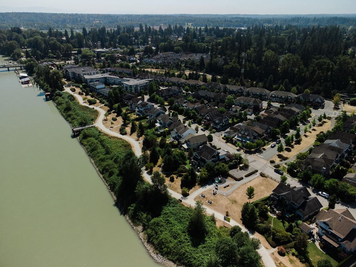
A significant number of homes around Winnipeg, Vancouver, Chatham-Kent, Ont., and Chilliwack, B.C., are located in high flood hazard areas, according to a Statistics Canada report released earlier this month.
In Manitoba, Saskatchewan and B.C., an increasing share of those homes are recent builds, possibly due to government efforts to expand the housing supply in the context of an affordability crisis, the authors wrote.
“There is a risk that urgency to build or intensify development could lead to increasing housing in areas that are more vulnerable to flooding,” the report says.
With climate change expected to increase the intensity of spring flooding and cause heavy rainfall, experts say the report sounds a note of caution around where and how homes are built in Canada.
Winnipeg most affected
More than 112,000 properties in Winnipeg, accounting for 45 per cent of residences in the metropolitan area, are in high flood hazard areas. Statistics Canada defines this as a dissemination block — a region of between 400 and 700 people — where upwards of 80 per cent of land overlaps with 100-year floodplains.

In Winnipeg, an increasing share of homes have been built in flood hazard areas. (CBC)
Put another way, it means in these areas, there is a one per cent chance of a flood occurring in any given year.
The share of properties built in flood hazard areas also increased.
The report did not take into account defenses such as dikes and floodways, which many places, including Winnipeg, benefit from.
However, the authors say it still gives beneficial insight into which areas could be at risk if defenses are overwhelmed.
Social vulnerabilities in Vancouver
More than 85,000 Metro Vancouver homes — just over 10 per cent of the region’s residential properties — sit in high-risk flood zones that are vulnerable to Fraser River spring flooding and coastal storm surges.
However, these figures represent an underestimate because they don’t include high rise or low rise apartments.
The Vancouver area differed from other parts of the country in a couple of ways, says Samuel MacIsaac, a senior research analyst with the Canadian Housing Statistics Program at StatsCan.

(Submitted by Samuel MacIsaac.)
The assessed value of properties in flood zones was on average 4.5 per cent higher than those in non-flood zones, but the incomes of the people living in those homes was 17 per cent lower, MacIsaac said.
People living in flood zones were also more likely to be over the age of 55 in Metro Vancouver, he added.
“It could be that retirees, for example, make a large portion of these people and they tend to have lower incomes. That said, they are residing in properties that are of slightly higher value and that is in contrast to the remainder of the province where … high flood flood hazard areas typically have lower assessment values.”
One contributing factor is likely that floodplain land is typically cheaper for developers to purchase, said Kh Md Nahiduzzaman, a University of British Columbia Okanagan engineering professor who studies flood mitigation.

(Submitted by Kh Md Nahiduzzaman)
“When they grab those lands for construction and overall cost gets down and then … those retired populations can easily afford those kinds of houses, right? And that’s a fallacy.”
The effect of climate change
The Statistics Canada report did not provide geographic data more specific than metropolitan areas.
However, the Fraser Basin Council has produced floodmaps for Metro Vancouver and the Fraser Valley which take defenses into account and project several scenarios, including flooding caused by both snowmelt and coastal storms.
The Fraser Basin Council’s director of water programs, Steve Litke, says he’s confident that for the once-in-a-century storms, the region’s defences would mostly hold.
In Metro Vancouver, flooding would likely be confined to areas next to the river, Litke said. But Chilliwack — another area highlighted in the StatCan report — could expect some flooding outside the dikes, especially around the Vedder Canal, he added.
“In B.C., we’re more concerned with 200-year floods or floods of record,” Litke said, noting that experts use one such Fraser River flood in 1894 to model future scenarios.
“We should be very concerned in terms of the exposure to those bigger events. Likewise, we should be concerned about climate change projections, right? The early indications are that we can expect larger and more frequent floods. So what used to be a 100-year flood might be a 50-year flood.”
Under a 2050 Fraser River flood scenario with half-a-metre of sea-level rise, much more of Metro Vancouver and the Fraser Valley are affected.
Large parts of Chilliwack, Abbotsford and Agassiz would be underwater, as would parts of Pitt Meadows, Maple Ridge and Port Coquitlam, Litke says.
‘A big concern’
Such scenarios show the importance not only of building flood defenses, but also maintaining it in the face of evolving climate change scenarios, Litke says.
“This is very expensive infrastructure to build and to maintain and particularly to upgrade. So to get ahead of climate projections, to look at raising and widening the dikes, to look at a metre of sea level rise and addressing the sea dikes as well, it’s a big concern.”

Nahiduzzaman, the UBC professor, says the report shows the need for better government regulation to ensure vulnerable populations are not increasingly housed in flood zones.
The StatsCan report excludes Quebec, Newfoundland and Labrador, the Northwest Territories and Nunavut, as well as reserves, non-residential properties and vacant land.