
A Status Yellow snow-ice warning has been issued starting tonight for 11 counties in the north and northeast of the island.
Met Éireann issued the warning for counties Cavan, Donegal, Monaghan, Leitrim and Sligo beginning at midnight and lasting through until midday on Thursday.
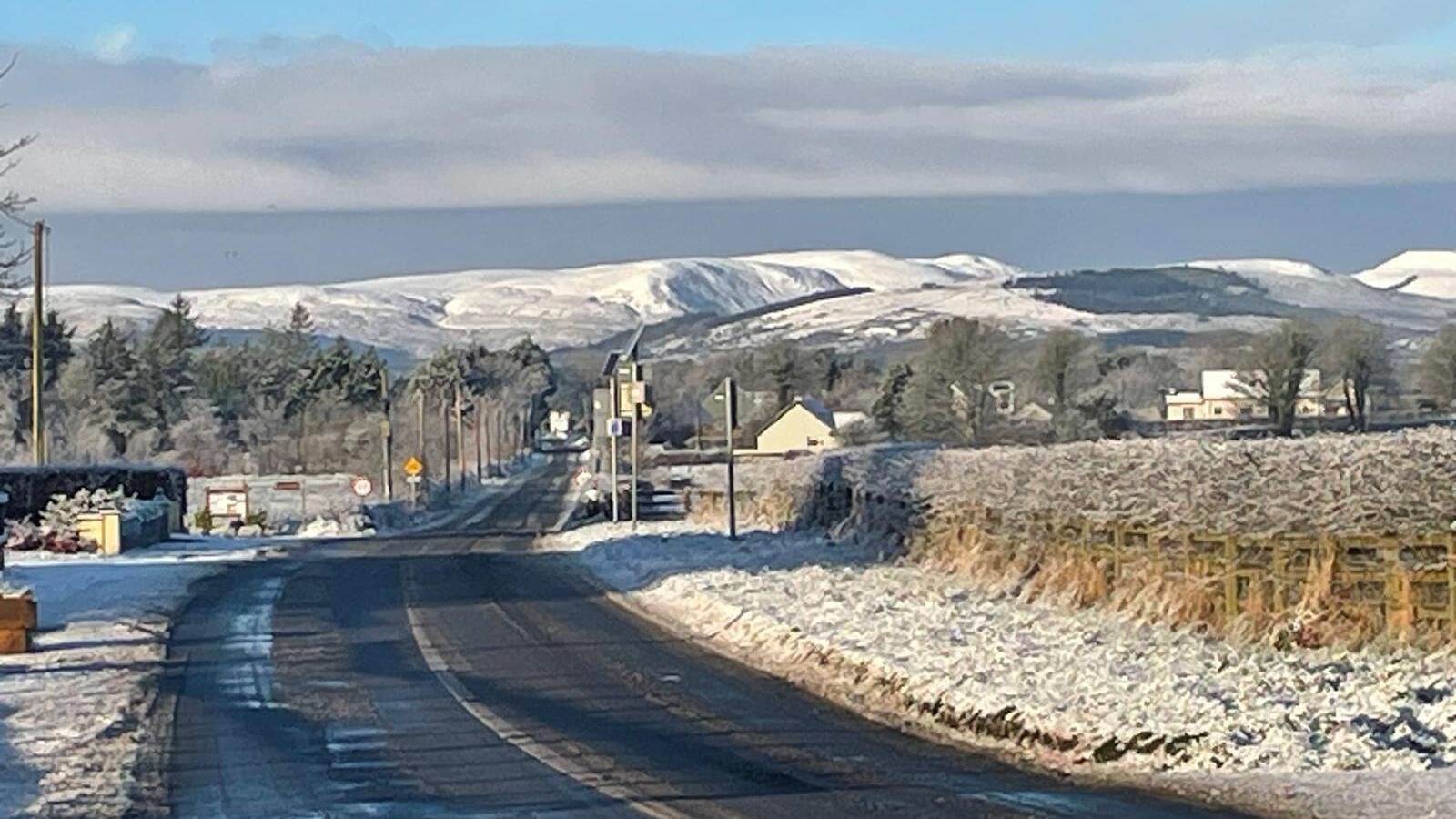
Wintry showers of hail, sleet and snow are forecast with modest snow accumulations expected in places, especially on high ground.
The forecaster warned of hazardous travelling conditions and icy stretches as possible impacts.
A separate Status Yellow snow and ice warning has also been issued across all counties in Northern Ireland beginning at midnight tonight and lasting until midday tomorrow.
The UK Met Office has forecast wintry showers tonight which will bring icy patches and lying snow in places, with a possibility of travel delays.
It comes as temperatures are set to drop across the country this evening as an arctic airmass moves in.
Frost and ice will become widespread for a couple of nights with temperatures reaching as low as -3C in areas later in the week.
Wind chill factor could make conditions feel even colder, Met Éireann said.
Mét Éireann meteorologist Rebecca Cantwell said there will be a big change and people should wrap up and give themselves extra time in the morning to defrost their cars.
“By night, under clear skies, the temperatures are going to fall to zero in many areas, probably coldest in the east and south. So Thursday night in particular, that’s said to be quite cold, getting down to about minus three to plus two degrees overnight. So we can expect widespread frost and icy patches.”
Speaking on RTÉ’s Today with David McCullagh, Ms Cantwell said the average minimum temperature for this time of year is around 3-7C but that maximum temperatures over the next few days will only reach these temperatures and there will also be an added wind chill factor.
There will be some wintry showers of hail and sleet and possibly snow, but these will mostly be over higher ground in Munster and north Connacht, with the east and south expected to be the coldest.
However, by Friday there should be a return to milder Atlantic air, the meterologist said.
“So the high pressure system that’s dragging that colder air over us, that’s going to push further south by an approaching low pressure system, and that’s going to introduce milder air but also more unsettled conditions. So we’re going to back to spells of rain and drizzle, but temperature is generally close to average.”
Watch: Weather to get colder as wintry conditions forecast
We need your consent to load this rte-player contentWe use rte-player to manage extra content that can set cookies on your device and collect data about your activity. Please review their details and accept them to load the content.Manage Preferences