
(via Getty Images)
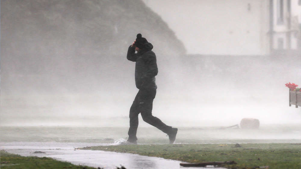
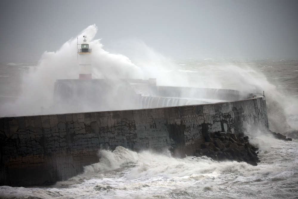
Very strong and gusty southerly winds are expected to arrive in the early hours of Tuesday morning and persist until the evening, with gale-force winds possible along coastal areas.
Following the early disruption of the Polar Vortex, deep Arctic troughs pushing into the Atlantic are generating intense storms moving toward Western Europe.
On Tuesday, a fierce windstorm (possibly soon to be named Bram) is forecast to track near the western coast of Ireland, Northern Ireland, and Scotland.
As the North Atlantic becomes more active, a zonal flow will return, bringing much warmer and moister air masses across the continent.
A Status Yellow Rain warning will take effect tomorrow for Carlow, Kilkenny, Wexford, Cork, Kerry, Tipperary, and Waterford.
The seven-county warning begins at 9pm on Monday and remains in place until 9am Tuesday.
(Getty)
Met Éireann has cautioned that flooding is likely due to the “heavy rain falling on already saturated ground.” A Status Yellow Wind alert will then come into force from 3am Tuesday until 9pm that evening for the entire country.
Met Éireann has warned that “very strong and gusty” winds will impact the country during this period, bringing notable risks.
The national forecaster also warned: “Gales possible near coasts. “Increased flood risk in coastal areas due to coincidence with very high spring tides.”
Concerns include difficult travel conditions, flooding in low-lying coastal zones, wave overtopping, debris, and the displacement of loose objects. Outdoor events are also likely to be affected, according to Met Éireann.
These new alerts follow a rain warning from the Met Office for Antrim, Armagh, Down, Fermanagh, Tyrone, and Derry, which remains in place until 3pm.
The series of warnings comes amid fears from weather experts that orange, or even red, alerts could be issued.