
A tiny robot explorer traversed the vast, frigid waters of Antarctica—even diving under the ice at one point. After miraculously surviving all that, the robot brought back souvenirs for scientists.
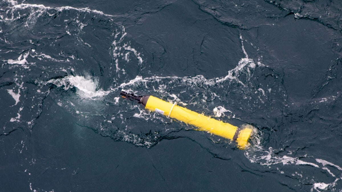
In 2020, researchers with CSIRO, Australia’s national science agency, deployed an Argo float—a free-floating, robotic instrument collecting ocean data—near Totten Glacier in East Antarctica. To their surprise and disappointment, fickle Antarctic tides sent the float farther south, where it reappeared and soon sank under the Denman ice shelf.
“We feared the worst,” admitted the researchers in an essay for The Conversation. “But nine months later it surfaced again… And it had collected data from places never measured before.”
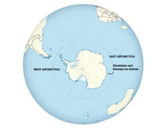 A map of Antarctica. Credit: CSIRO
Indeed, from its unlikely dive, the float gathered never-before-sampled data on water temperatures and salinity beneath the Denman and Shackleton ice shelves. Analyzing this dataset allowed researchers to gain a deeper understanding of the ice shelves’ vulnerability and health as climate change continues to affect Earth’s polar regions.
A paper describing these findings was published recently in Science Advances.
Icy vital signs
Ice shelves—giant, thick platforms of floating ice—act as a natural bumper between Antarctica’s glaciers and the ocean by partly preventing the ice from melting into the seas. But as sea temperatures rise, warm ocean water accumulates at the bottom of ice shelves.
That gradually weakens the base of these ice shelves, which adds more ice to the ocean and raises sea levels. However, ice shelves can be hundreds to thousands of feet thick, making it incredibly challenging for scientists to study exactly how ice shelves collapse.
An unlikely dive
And so, the Argo float’s trip under the ice turned out to be an incredibly lucky accident. During an eight-month period, the float measured temperature and salinity profiles from the seafloor to the ice shelf base every five days—the “first line of oceanographic measurements beneath an ice shelf in East Antarctica,” the researchers explained.
In total, it collected 195 profiles over 2.5 years, many of which came from never-before-sampled regions in East Antarctica.
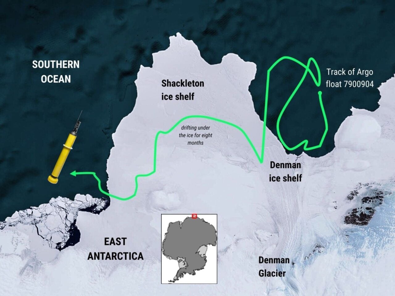 The float’s estimated route. Credit: CSIRO
“Against the enormity of such a wild region, this is an amazing story of the little float that could,” Delphine Lannuzel, an oceanographer at the University of Tasmania in Australia, said in a statement. Lannuzel was not an author of the paper but had collaborated with the authors for a similar project earlier this year.
Submersion essentially disabled the float’s GPS capabilities, but the researchers found a way to infer where measurements were made by noting when the float bumped its head on the ice.
“Each time the float bumped its head on the ice, it provided a measurement of the depth of the ice shelf base, or ice draft,” explained Steve Rintoul, study lead author and a CSIRO oceanographer, in the statement. “We could compare the ice draft measured by the float to satellite measurements of draft to work out the path of the float beneath the ice.”
As a result, they were able to confirm that the northernmost Shackleton ice shelf wasn’t yet exposed to warm water, although the Denman Glacier appeared to be melting already. The float also captured a delicate thermal system under the ice shelves, which seemed to be holding together the ice—for now, that is.
Floats at sea
Given the Argo float’s unexpected capabilities, the researchers now hope to send several more like it to underexplored regions. However, as the researchers admit in the paper, the general environment inside and under ice shelves is still poorly known, and float measurements can’t directly penetrate the thick ice.
Still, this is better than nothing, the researchers added. If anything, “float measurements will be used to improve how these processes are represented in computer models, reducing the uncertainty in projections of future sea level rise.”