
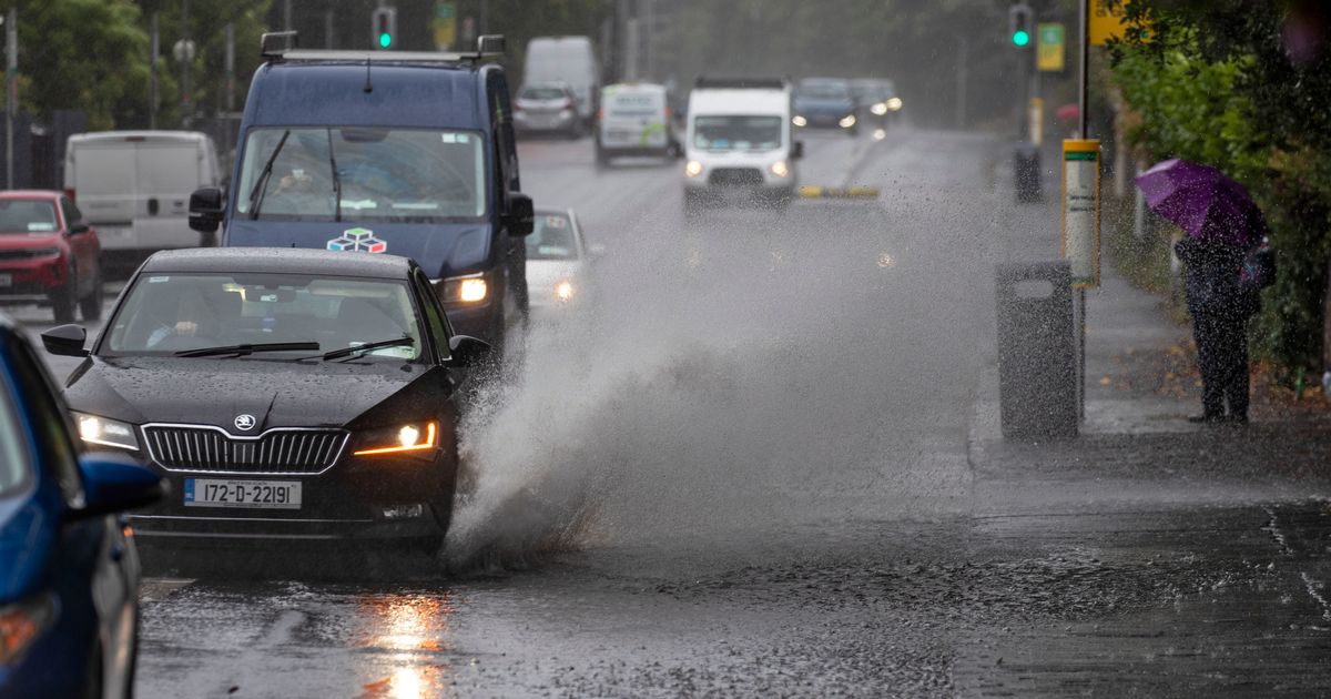
There are a number of weather warnings in place for this weekend as parts of the country are expected to get a battering of heavy rain with some stormy conditions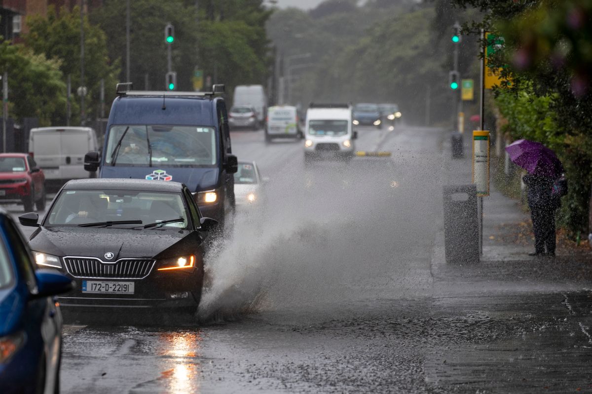 Flooding in the road(Image: Collins Photo Agency)
The country is in for a week of mixed conditions, with outbreaks of rain, hazy sunny spells, and more ahead.
Met Éireann have predicted that the weather will likely be unsettled for much of the week, leaving a wet and windy few days ahead with a chance of flooding in the south and west.
Some countries are also on a 30-hour weather alert from this evening, as Met Éireann warns of flooding across Munster. Kerry, Cork, Clare, Limerick, Donegal and all of Connacht’s counties will be on a Status Yellow rain warning from 6 pm this evening.
Tipperary, Wexford and Waterford will also be on a Status Yellow rain warning from midnight tonight until 3 am Monday morning.
And finally, Cork and Kerry will be under a Status Orange rain warning from 3 am to 6 pm on Sunday.
Here’s everything you need to know about the weather forecast for the days ahead.
Saturday 13th December
Dry to begin today for most with hazy sunny spells, but cloud and outbreaks of rain already in western parts of Connacht and Ulster will gradually spread eastwards this afternoon, turning heavier in the west and southwest later this evening. Windy in the west and northwest, with strong and gusty southerly winds and gales near the coast, with winds increasing moderate to fresh this afternoon elsewhere. Afternoon highs of 7 to 11 degrees.
Wet and blustery tonight with widespread outbreaks of rain and drizzle. The rain will be heavy at times, particularly towards the morning in the southwest, west and northwest. Mild with the lowest temperatures of 10 to 12 degrees and fresh to strong and gusty southwesterly winds.
Sunday 14th December
Continuing wet and blustery across the country on Sunday morning, with widespread outbreaks of rain, turning heavy at times, especially in the south and west. With high river levels and saturated soils, river and surface water flooding are likely, particularly in the south and west. Winds will ease in the west and northwest in the afternoon, but it will remain blustery across southern and southeastern counties, especially near the coast. Highest temperatures of 11 to 13 degrees with fresh to strong and gusty southwesterly winds, easing light to moderate in the west and northwest in the afternoon.
Widespread rain will gradually clear southeastwards overnight, with clear spells and just isolated showers following from the west. Rain is likely to linger over parts of the southeast. Lowest temperatures of 4 to 7 degrees with winds veering southwest to west and easing mostly light.
Monday 15th December
Mostly dry and bright with sunny spells developing and scattered showers, mainly in parts of the west. Remaining cloudy with rain for a time in the far southeast, clearing through the morning. Highest temperatures of 7 to 10 degrees with mostly light southwest to west winds.
Dry with long clear spells developing, and just some light showers along Atlantic coasts. Lowest temperatures of 0 to 4 degrees with light southwesterly winds, allowing some frost to form as well as patches of mist and fog.
Tuesday 16th December
Dry and bright with good spells of sunshine and just the odd light shower possible in Atlantic coastal counties. Highest temperatures of 4 to 8 degrees with light southwesterly winds.
Wednesday 17th December
Wet and blustery to start with a spell of rain moving eastwards through the morning, likely clearing to scattered showers through the afternoon. Highest temperatures of 10 to 13 degrees with fresh to strong southwesterly winds.
Rest of the week
Current indications show a further spell of wet and blustery weather on Thursday, with a continuation of unsettled weather likely for the rest of the week.