
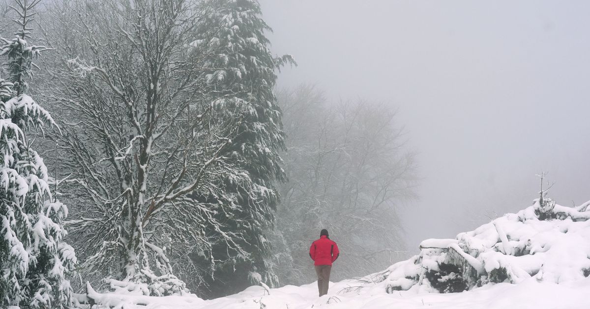
The leading meteorologist also warned that we are in for some ‘awful’ weather next week, but said that “better days ahead”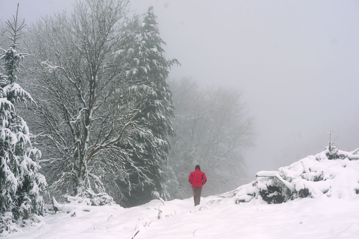 It seems Ireland’s hopes of a white Christmas are melting away(Image: PA)
The festive season is in full swing and a leading weather expert has revealed the chance of Ireland enjoying a White Christmas this year.
White Christmases are rare in Ireland. The last genuine white Christmas in Ireland was back in 2010 when the entire island was covered in a blanket of snow.
While the weather has taken a turn this weekend, with temperatures plummeting and wet and windy conditions lashing the country, those dreaming of a White Christmas this year look set for disappointment.
Alan O’Reilly, who mans the ever reliable @CarlowWeather account on X, has revealed that current weather models show that Ireland is set for a spell of settled weather at Christmas, with a spell of high-pressure set to lead to clear skies.
In a post shared with his followers on Saturday, O’Reilly wrote: “Clear signal now for higher pressure and more settled weather for Christmas.”
O’Reilly also warned his followers that Sunday is set to be “an awful day” in terms of the weather, with warnings in place for a number of counties.
The leading meteorologist said that we can expect “more rain Wednesday and Thursday”, but added that “better days ahead”.
According to Met Eireann’s latest forecast, today will be cloudy and blustery with further spells of rain, heavy at times, especially in the south and west.
The national forecast has warned that “river and surface water flooding are likely”, particularly in the south and west.
Highest temperatures of 11C to 14C with fresh to strong and gusty southwesterly winds, easing in the west and northwest later.
Rain will gradually clear southeastwards tonight, with clear spells and just a few showers following from the west.
Met Eireann warned that rain may linger over parts of the southeast for much of the night with flooding still possible in places. Lowest temperatures of 4C to 7C degrees, while winds will ease mostly light southerly or variable with mist and fog patches forming.
The national forecaster has said there will be some respite from the miserable conditions to start the week, but it is expected to turn more unsettled again on Tuesday night.
Monday will be dry in many areas with just well scattered showers. The best of the sunshine will be further to the west. It will be cloudier in the east, with any remaining rain in southeast clearing eastwards through the morning. Afternoon highs of 7C to 10C are expected with mostly light westerly or variable breezes.
It will be mostly dry with long clear breaks developing countrywide on Monday night, while a few showers will affect Atlantic coastal counties overnight, however.
It will be a chilly night with lowest temperatures of 0C to 4C with a touch of frost possible. Light southerly or variable breezes will allow a few mist and fog patches to form also.
Subscribe to our newsletter for the latest news from the Irish Mirror direct to your inbox: Sign up here.