
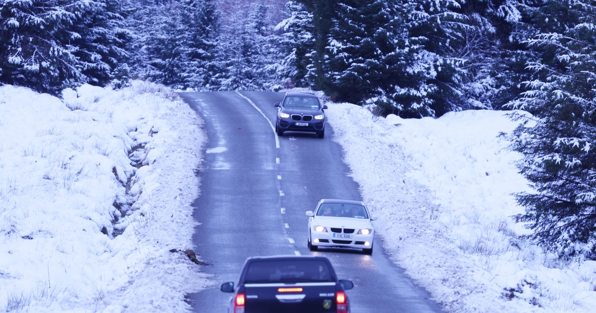
A White Christmas is unlikely but Met Eireann has confirmed it cannot rule out wintry showers from Monday December 29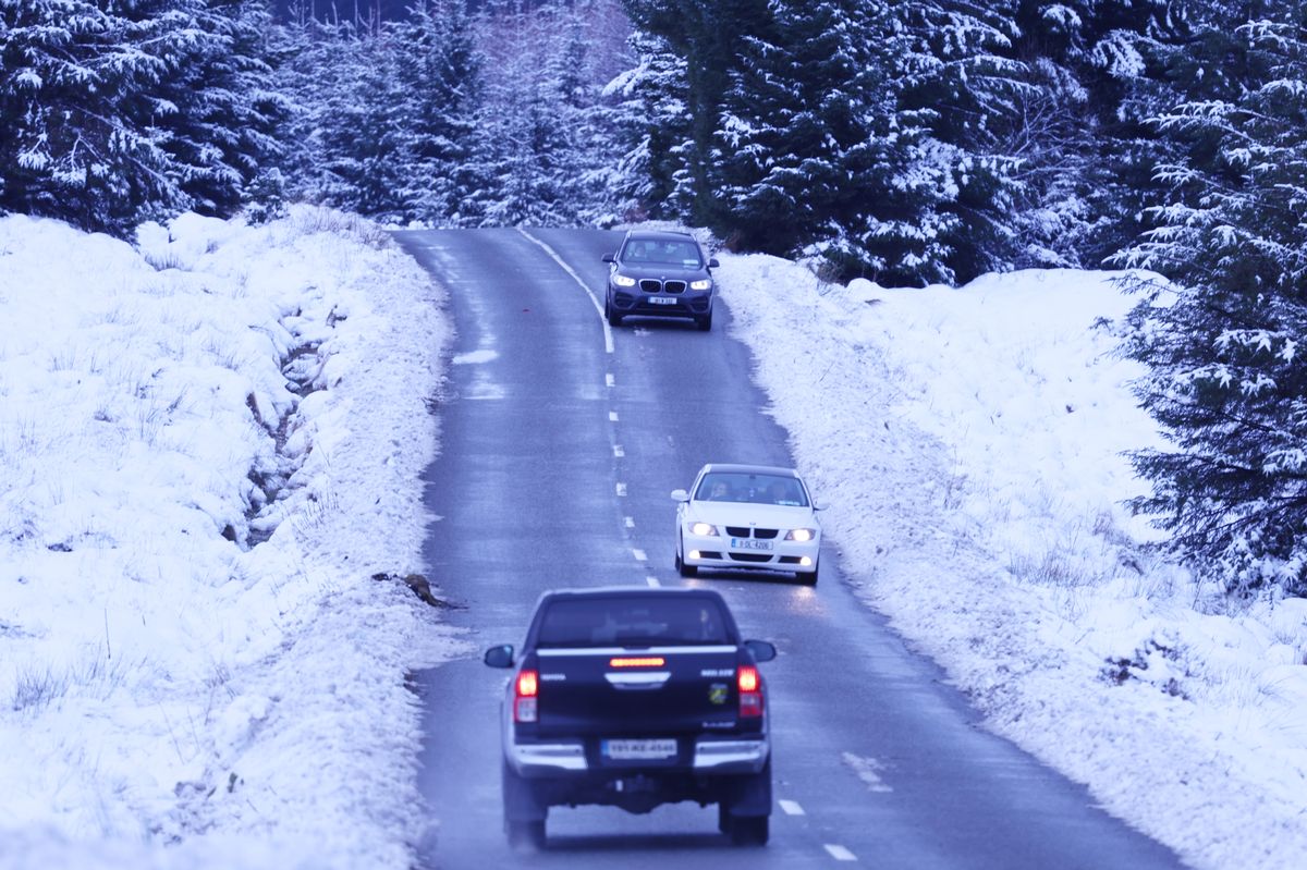 Snowy weather scenes in Wicklow. (stock image) (Image: Stephen Collins/Collins Photos)
Met Eireann has shared a list of hazardous weather conditions expected to strike Ireland between Christmas Day and New Year’s Eve.
Models used by experts to predict the weather all suggest that Ireland could be in for sub-zero conditions in the days between Christmas and the New Year.
A White Christmas is unlikely but Met Eireann has confirmed it cannot rule out wintry showers from Monday December 29.
Interestingly, the ECMWF (European Centre for Medium-Range Weather Forecasts) is currently showing snowfall in the southern half of the country for the first weekend of 2026.
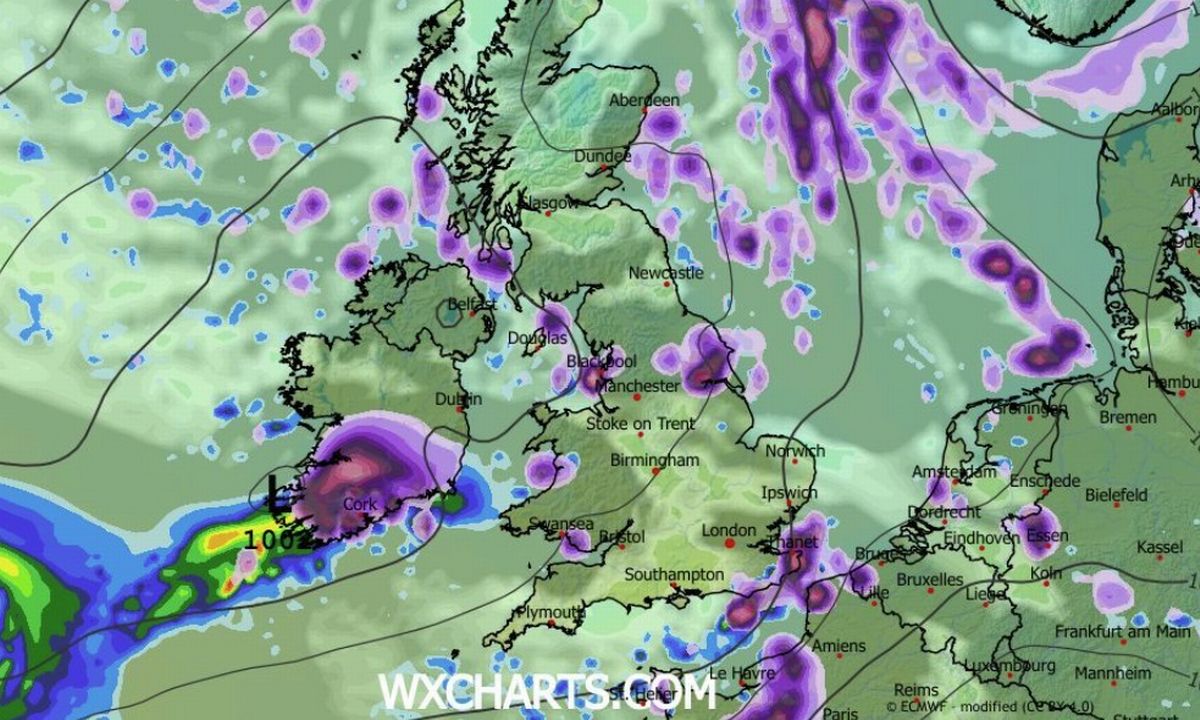 The ECMWF model on WXCharts.com shows snowfall in the south of Ireland at the beginning of January. (Image: WXCharts.com)
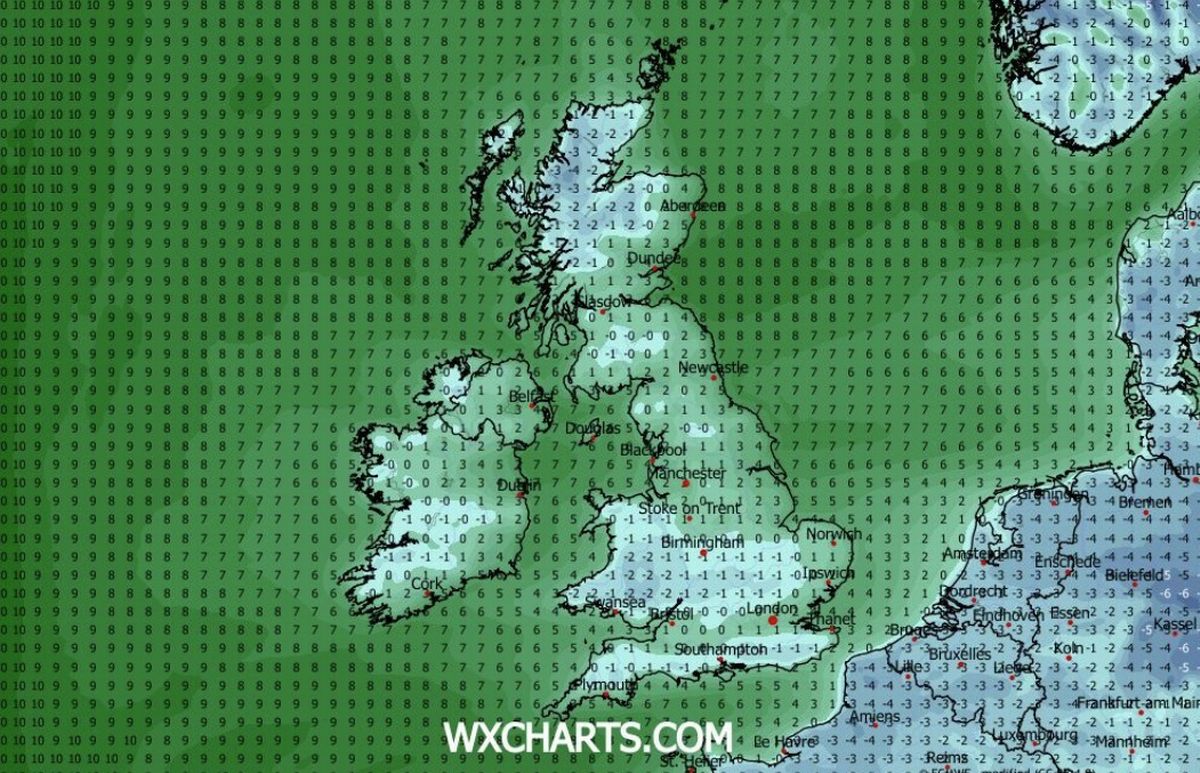 Sub-zero temperatures are expected across Ireland next week. (Image: WXCharts.com )
“Potential hazards look limited to frost, ice and fog; however, a few wintry showers can’t be ruled out at this stage. These would most likely occur near eastern and northern coasts,” says Met Eireann of Monday December 29 to Sunday January 4.
Echoing Met Eireann’s chilly forecast is Donegal Weather Channel who say conditions will turn “much colder” across Ireland between Christmas and the New Year.
“Forecasting models continue to show things becoming much colder early next week especially come Christmas Eve, Christmas Day and St. Stephen’s Day,” wrote Donegal Weather Channel on social media.
“The good news is it will be dry and cold with some nice winter sunshine bit also freezing conditions expected at night and frost lingering in places during the Christmas period during the day hours as some areas could struggle to raise above freezing.
“Temperatures on Christmas Eve and Christmas morning could fall as low as -3 or -4C in places and even colder on Christmas night into Stephen’s Day with temperatures as low as -5C possible. There will also be the additional risk of fog and freezing fog on places making driving conditions hazardous. So some low temperature and fog warnings could be issued over next week.
“As we move towards the weekend and into the New Year there is a increasing signals for even colder conditions with the potential for some wintry falls of snow between the 27th and the New Year.
“Some ensembles forecasts increase the precipitation amount for the period and risk of colder conditions developing with a potential high pressure block to the west of Ireland extending into Greenland cutting off the Atlantic and normal westerly unsettled conditions like we babe see over the past few weeks.”
Met Eireann Extended Range Forecast:
Week 1 (Monday 22 December to Sunday 28 December)
Strong signal for high pressure to be centred to the north of the UK and Ireland and become increasingly dominant through the period. Likely becoming mainly dry and settled in a mainly easterly airflow with temperatures below average, especially over southern and western parts. Potential hazards look limited to frost and fog patches, which could be persistent in sheltered spots.
Week 2 (Monday 29 December to Sunday 04 January)
Medium signal that high pressure will continue to dominate our weather into the new year, although centred to the northwest of Ireland, so creating a more northeasterly airflow over the country. Mainly dry conditions look set to continue with below average temperatures countrywide. Potential hazards look limited to frost, ice and fog; however, a few wintry showers can’t be ruled out at this stage. These would most likely occur near eastern and northern coasts.
Week 3 (Monday 05 January to Sunday 11 January)
Uncertainty increases quite dramatically by week 3, with no strong signal indicated. A more changeable period of weather seems like a reasonable assumption. There is a slight signal for drier than average conditions to continue in the west, but the signal for colder than average temperatures is diminished, with near average temperatures signalled overall.
Week 4 (Monday 12 January to Sunday 18 January)
Increased uncertainty continues into week 4, although there is a slight signal for high pressure to the northwest of Ireland to become dominant once again. Drier than average conditions are signalled across much of the country with closer to average precipitation signalled in the southeast and along the east coast. Mean temperatures are signalled to be near average overall.
For more of the latest breaking news from the Irish Mirror check out our homepage by clicking here.