
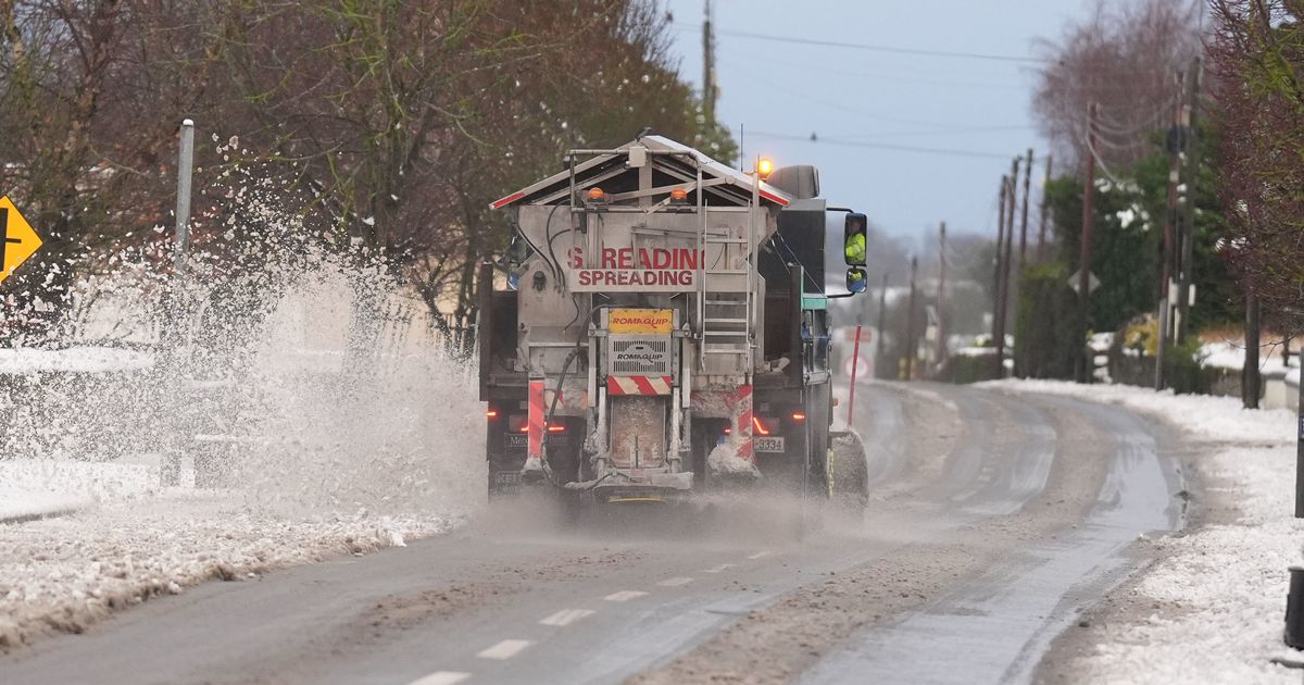
Met Eireann says the sub-zero blitz is set to last at least to the beginning of next week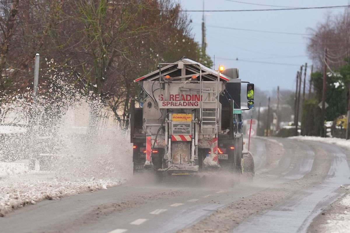 A snow plough and gritting lorry in Ballylynan in County Laois in January 2025. (Image: Niall Carson/PA Wire)
The temperatures across Ireland dropped dramatically this week.
There is widespread frost, icy driving conditions and a bitterly cold wind across the entire country at the moment. The arrival of the colder weather inevitably means peoples’ attention start to turning to the possibility of snow.
Met Eireann says the sub-zero blitz is set to last at least to the beginning of next week. That’s when things could change. The State forecaster says the settled conditions could last right up to the New Year but people should expect to see rain make a return at the beginning of the month.
Meanwhile, much of England and parts of Scotland are set to be battered by huge snow blizzard around January 7 but the good news at the moment is that it’s set to miss Ireland.
A good chunk of the country is forecast to see rain in the first week of January, according to WXCharts.com, but that precipitation could change to snow if temperatures were drop.
Ireland weather expert, Alan O’Reilly of Carlow Weather on X, appeared to echo the belief that Ireland could miss out on snowfall set for many other parts of Europe.
“Weather staying largely dry in Ireland for next 7 days but many parts of Europe will see rain and snow will increase in Eastern areas,” said Alan on X.
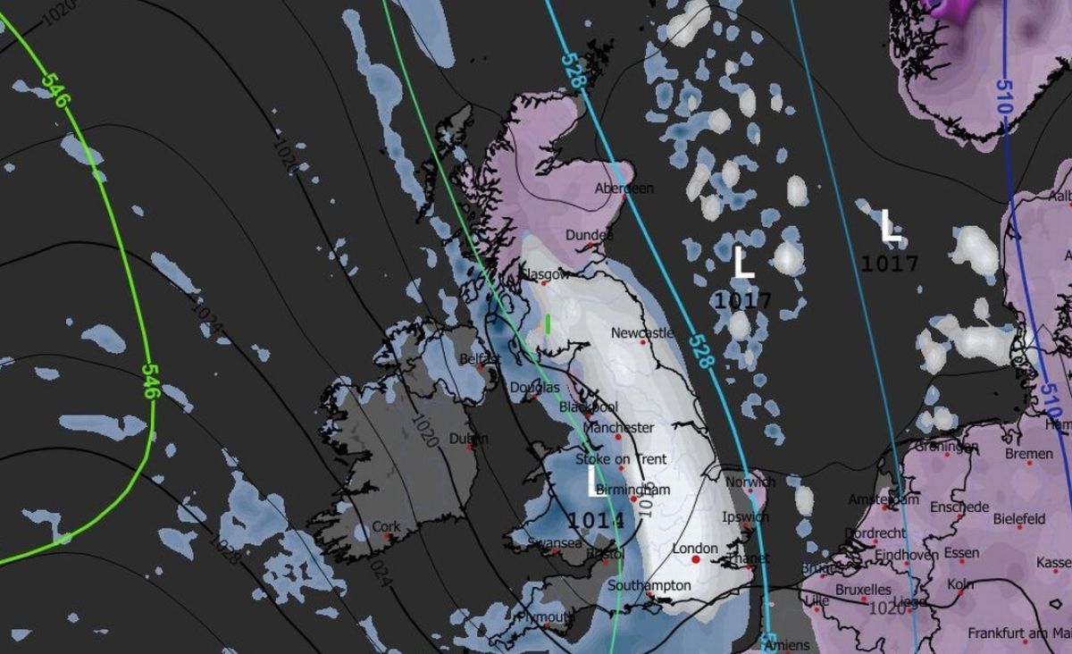 A large snow storm set for the United Kingdom on January 8. (Image: WXCharts.com)
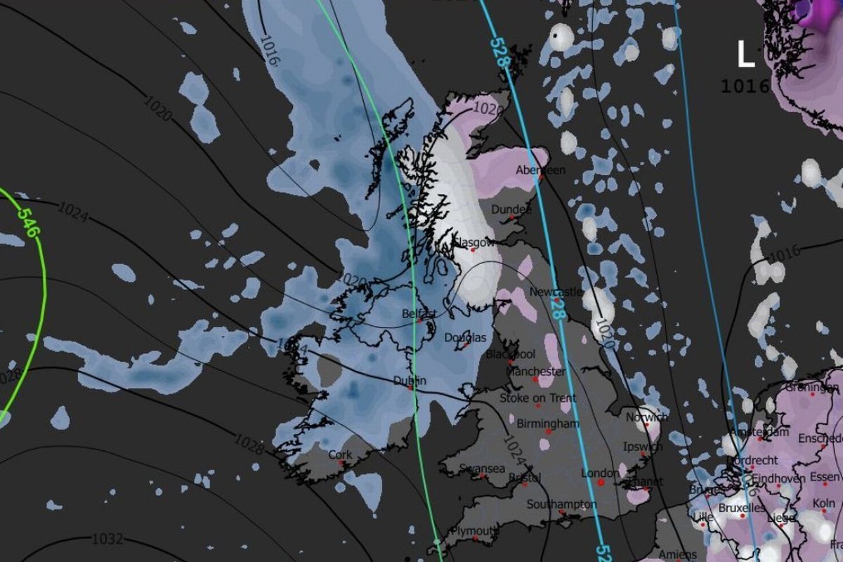 Rain, not snow, forecast for Ireland on January 7. (Image: WXCharts.com )Met Eireann National Outlook:
Overview: Remaining settled as high pressure continues to dominate.
Saturday night: Patches of drizzle possible towards the south coast but otherwise dry with a mix of cloud and clear spells. Lowest temperatures of 1 to 5 degrees in mainly light to moderate northeasterly breezes.
Sunday: Mainly dry and cloudy with further patches of drizzle possible along southern coastal parts. Highest temperatures of 5 to 9 degrees in light to moderate easterly winds.
Sunday night: Dry and mostly cloudy with patches of mist and fog or freezing fog forming in light and variable winds. Frost will form in some areas where the cloud breaks. Lowest temperatures of -1 to +4 degrees.
Monday: Mostly dry and cloudy although some light drizzle is possible near southern and western coasts. Highest temperatures of 4 to 7 degrees in light north to northeast winds.
Monday night: A largely dry and mostly cloudy night, although clear spells will occur over Ulster and Connacht. Lowest temperatures of -2 to +4 degrees, coldest where those clear spells occur, in light northeasterly winds.
Tuesday: Cloudy with scattered patches of light rain or drizzle. Highest temperatures of 4 to 8 degrees in a light east to northeast wind.
Further outlook: High pressure looks set to remain nearby with settled weather continuing for New Year’s Eve, then there is likely to be more in the way of light rain and drizzle moving in for the start of January.
Subscribe to our newsletter for the latest news from the Irish Mirror direct to your inbox: Sign up here.