
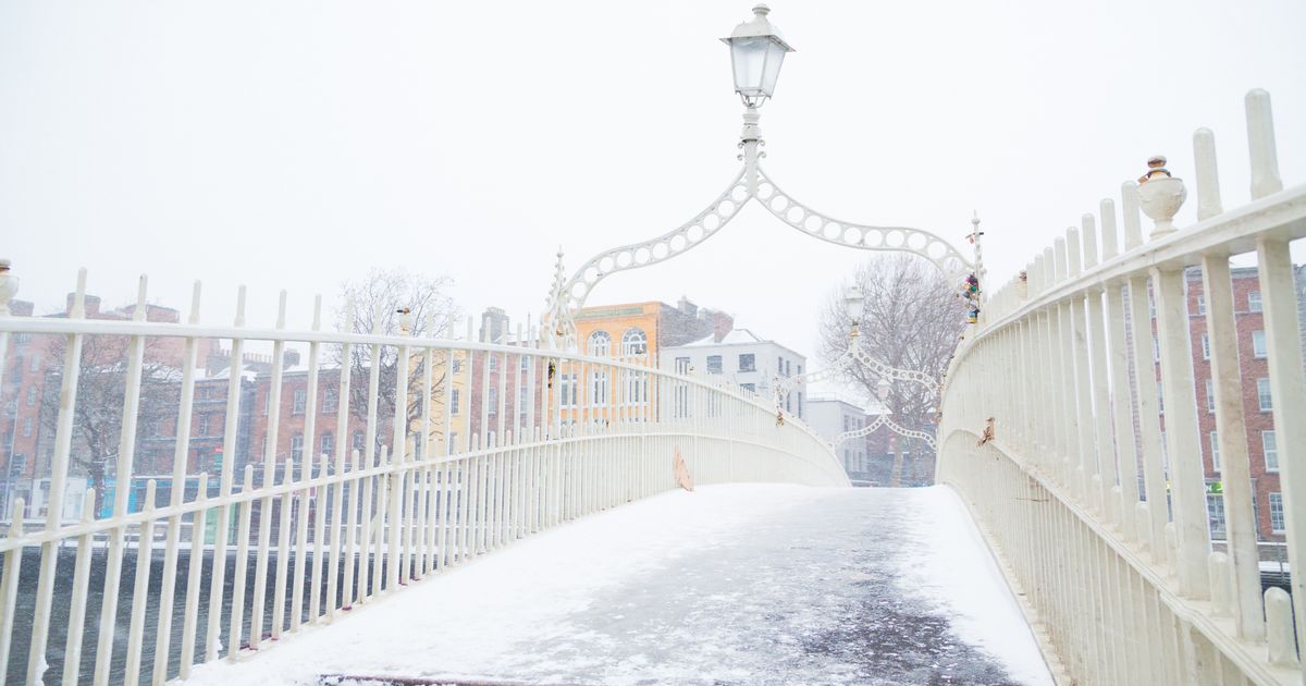
A spell of colder temperatures than we have experienced so far this winter is due to make itself known as we enter the New Year, reports weather forecasters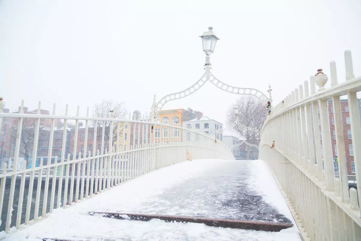 The Ha’penny bridge covered in snow and ice in Dublin City, Ireland
Ireland is in for a spell of cold weather, as one forecaster explains that an “arm of a Polar vortex’ will extend its reach over Northern Europe, causing a drop in temperatures.
Temperatures may get as low as -5 or -7 degrees as we enter the new year, with some accumulations of snow “likely.” Met Eireann also predicts that the move into the new year will be cold and frosty.
Cathal Nolan of Ireland’s Weather Channel explained that January 1st to 6th may be colder than average, with the possibility of temperatures approaching -10 degrees showing up on some weather models. “Plenty of heavy snow showers” may accompany this cold snap.
“We are in for a particularly cold spell it seems indeed. From the 1st of January right the way through until at least the 6th of January we’re going to see temperatures well below average for the time of year. Daytime values during that period could well struggle to get above freezing and nighttime temperatures could dip between minus five to minus seven quite widely, and in some scenarios where we see snow falling we could see temperatures even approaching minus nine to minus ten degrees on some of the models that we’re seeing at the moment,” he said, in a forecast update via social media.
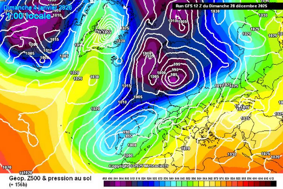
“The reason that we are seeing this is because we have an area of high pressure situated across the country, just to the north of us at the time, but it’s expected to push back up towards Greenland. As it retrogresses back up to Greenland, it allows for an area for low pressure and essentially what is an arm of a Polar Vortex to extend down across Scandinavia, that sets up a strong northerly airflow across Ireland during the 1st of January right the way through to the 5th and the 6th of January and that is going to bring in some very cold upper air temperatures.”
He added that snow showers may be “heavy,” leading to local disruption, but what is for certain is that it will be cold. “It will bring with it plenty of heavy snow showers for Ulster, Connacht maybe into North Leinster and West Munster and with that, accumulations of snow are indeed now likely in some parts. That very well could bring a little bit of disruption locally as well.”
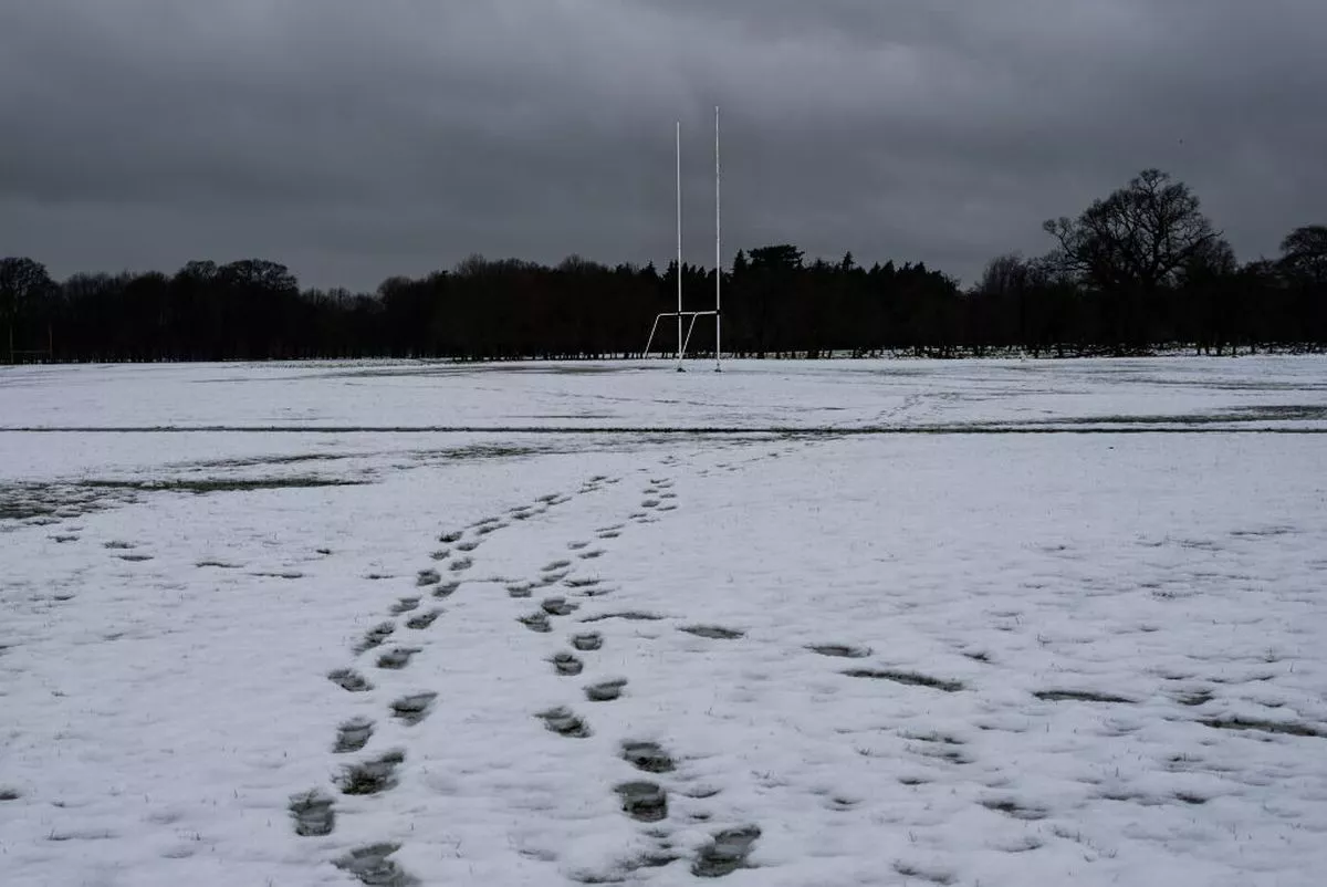 DUBLIN, IRELAND – MARCH 2: Footprints on the snowy foreground can be seen, and a Gaelic football goal posts in the background, on March 2, 2024 in Dublin, Ireland. Following heavy snowfall across Ireland, a Status Yellow ice warning is in effect with temperatures expected to drop as low as -1 degree according to Met Éireann. (Photo by Natalia Campos/Getty Images)
Cathal explained that it looks possible that the cold spell will lessen after the first week of January, but it is not feasible to make reliable predictions that far ahead of time. “The cold spell is going to be at its strongest between the 2nd and the 5th at the moment. It may extend beyond that, but at the moment it looks like we may start to see a bit of a breakdown, but that’s beyond what’s reliable in terms of a forecast at this stage.”
“What we can say for certain is we are going to enter into a much colder spell of weather, commencing around about the 1st of January, so New Year’s Day, and continuing on beyond the 5th into the 6th of January at least for now. As mentioned, snowfall accumulations are likely. Especially so in parts of Ulster into parts of North Connacht and West Munster maybe even into North Leinster as well Those showers predominantly falling as snow right down to sea levels So we do expect to see some good accumulation to snow here.”
Met Eireann also predicts a much colder launch to 2026 than temperatures we have seen recently: “Starting out frosty for the last day of 2025. Fog and or freezing fog will be slow to clear but sunny spells will develop through the day and staying dry too. Chilly, with temperatures of just 2 to 6 degrees in a light variable breeze,” said the national forecaster.
“Turning colder again as we move through the first week of January but with high pressure nearby, many places will stay dry. However, showers may spread from the north at times with the potential for some wintry precipitation. Current signals indicate temperatures dropping further, and conditions becoming very cold.”
The lowest temperatures predicted so far in Met Eireann’s forecast are those of -2 midweek.
 Alan Reilly of Carlow Weather via Facebook
Alan Reilly of Carlow Weather added that the cold snap is coming up clearly on weather models, but warned against thinking that snow is a guarantee. “The cold is pretty nailed on now from end of coming week but the chances of snow remain uncertain,” he said via Facebook.
“At present Northern areas at highest risk of snow. Forecasting snow in Ireland is notoriously tricky even a day or two out so bear that in mind when the headlines start talking about a dump of snow a week away.”
Follow Alan Reilly of Carlow Weather and Cathal Nolan of Ireland’s Weather Channel for more updates, and check out www.met.ie for the latest forecasts.
Join our Dublin Live breaking news service on WhatsApp. Click this link to receive your daily dose of Dublin Live content.
We also treat our community members to special offers, promotions, and adverts from us and our partners. If you don’t like our community, you can check out any time you like. If you’re curious, you can read our Privacy Notice.
For all the latest news from Dublin and surrounding areas visit our homepage.