
Ireland is set to experience some ‘sharp to severe’ frosts in the coming days, and as people around the country prepare to reel in the New Year, it’s time to wrap up warm
08:27, 31 Dec 2025Updated 10:52, 31 Dec 2025
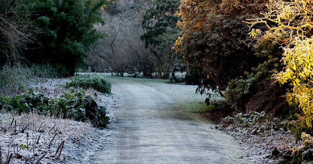
 General scenes of frost at Botanic Gardens Dublin, 2014(Image: www.collinsphotos.com)
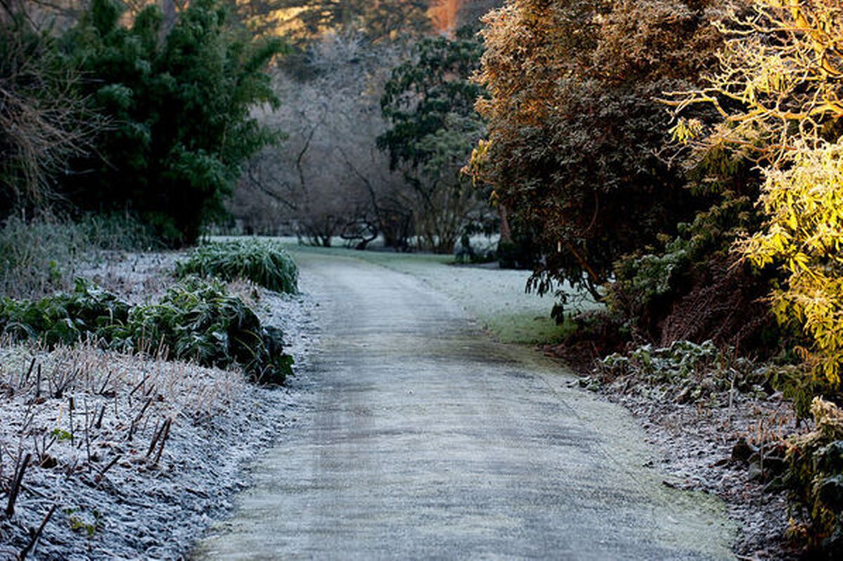
It’s not yet time to say goodbye to the festive furs and bobble hats, as Met Eireann has announced that the country is set to experience severe frost in places.
As the New Year approaches, the national forecaster has warned that 2026 will bring with it ‘wintry showers’, with temperatures dropping closer to the weekend, and the possibility of snow.
While there wil be outbreaks of colder drizzle, high pressure continues to dominate and bring with it dry weather, as Met Eireann says: “Continuing cold into early next week, with plenty of dry weather, though there will be wintry showers or outbreaks of rain at times.”
See the full forecast below.
Today – Wednesday 31st December
Cloudy and sunny spells on New Year’s Eve, with frost and any fog in the northern half of the country clearing through the morning.
It looks to be generally dry for much of the day, but with the chance of a little drizzle near the south coast and with some showers moving into northern coastal parts this evening.
Met Eireann forecasts highest temperatures of 3 to 6 degrees, with mostly light variable breezes, gradually becoming westerly and increasing moderate in the north towards evening.
Temperatures will drop into the night, with lowest temperatures of -2 to +2 degrees with frost and icy stretches developing. Light to moderate westerly winds will increase fresh at times along northern and northwestern coasts.
On X, Alan O ‘Reilly of @CarlowWeather shared an image of a model indicating windchill, and wrote: “Ringing in the new year outdoors? You will want to wrap up with that windchill!”
Thursday 1st January
Cloud and any patchy light rain in the southern half of the country will clear southwards early tomorrow morning, leaving a largely dry New Year’s Day with good sunny spells.
Well scattered showers will mainly affect northern coastal areas.
Highest temperatures of 4 to 8 degrees, with light to moderate northwesterly winds, fresher near northern and northwestern coasts.
Friday
A day of good sunny spells, with some showers of sleet and snow possible, mainly in the north.
Highest temperatures of 3 to 7 degrees in light to moderate northwesterly winds, fresher near coasts.
Friday night will be mostly dry and clear with some wintry showers, mainly affecting the north and northwest.
Lowest temperatures of -2 to +2 degrees in light to moderate northwesterly winds.
Weekend
Temperatures will drop on Saturay and Sunday, and looks to be very cold and mostly dry with wintry showers, mainly in parts of the north and northwest.
Highest daytime temperatures will be just 2 to 5 degrees in light to moderate northwesterly winds, with lowest night-time temperatures of -3 to +1 degrees with sharp frosts and ice developing.
The sharp cold will continue into early next week, with plenty of dry weather, though there will be wintry showers or outbreaks of rain at times.