
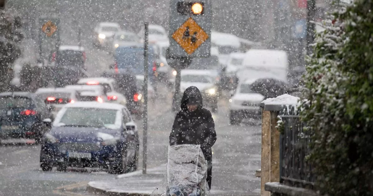
One forecaster has predicted the possibility of “heavy snow showers” scattered across the northern areas of the country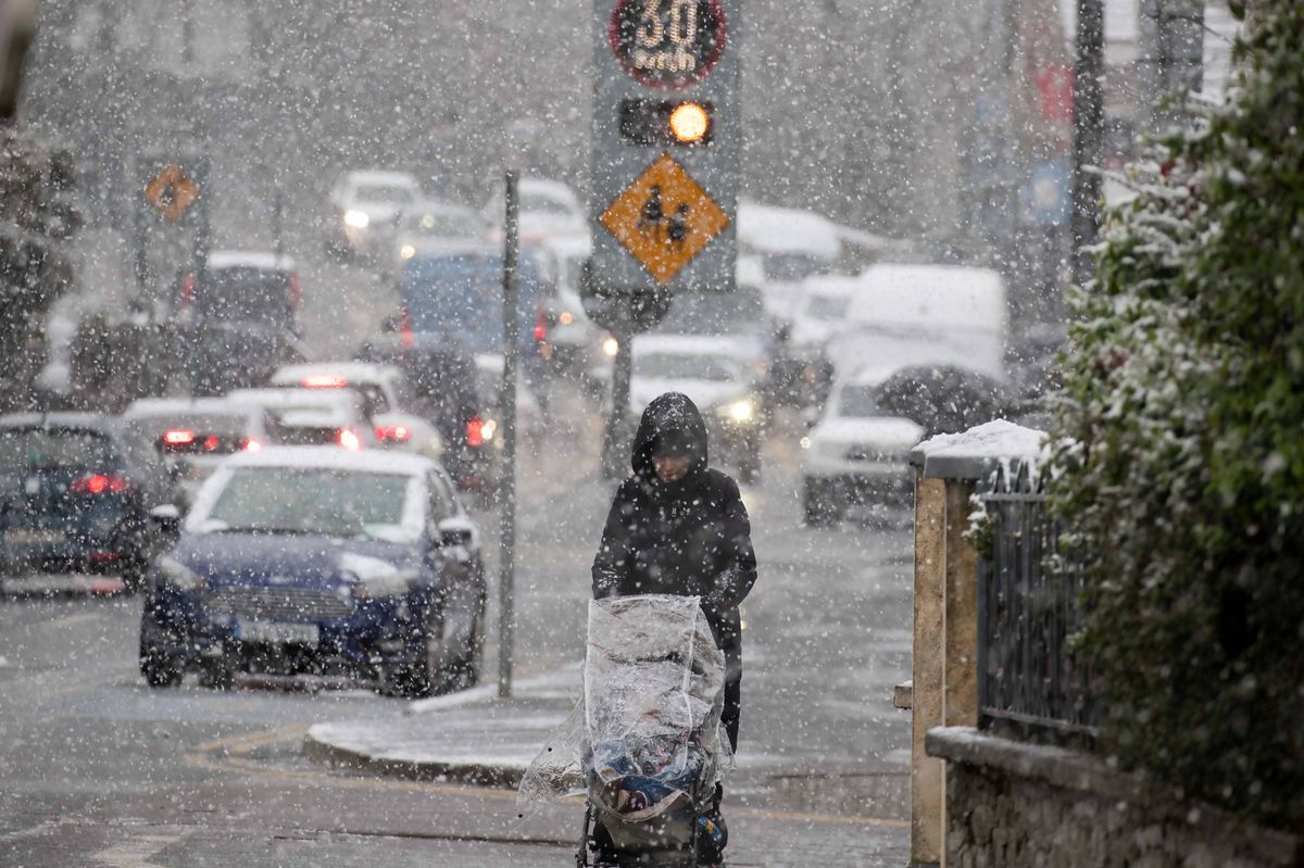 A woman pushing a buggy in the snow(Image: Collins)
Ireland is in for a cold snap for the first week of the new year, 2026.
A movement of Arctic air is responsible, causing smatterings of snow and sleet, very low overnight and daytime temperatures, and icy roads. Met Eireann confirmed that snow is due today, and there was some snowfall overnight in Northern Ireland, where this is currently a status yellow snow and ice warning in place.
One forecaster has predicted the possibility of “heavy snow showers” scattered across the northern areas of the country. Cathal Nolan of Ireland’s Weather Channel also forecasts low temperatures of -6C.
“The Arctic air has arrived across Ireland, with some scattered heavy snow showers pushing into much of Ulster at the moment where they’ll continue for the next couple of days,” he said in a new forecast update. “Meanwhile, under clear skies and with relatively light winds widespread frosts are likely to become more of an issue over the coming nights with a risk of icy stretches on the roads.”
Sharing a weather forecast for January 1 to 7, he added that the country will be under a cold spell with low temperatures. The forecaster warned that one of the biggest impacts may be icy road conditions.
“Ireland is set to experience a much colder spell of weather over the coming 5-7 days with temperatures by day struggling to reach above 2-4 degrees Celsius, with night time lows dipping to -5 to -6 degrees Celsius in some places. There’s also the risk of some snow, chiefly across Ulster and North Connacht initially, but more widespread perhaps for a time on the 5.”
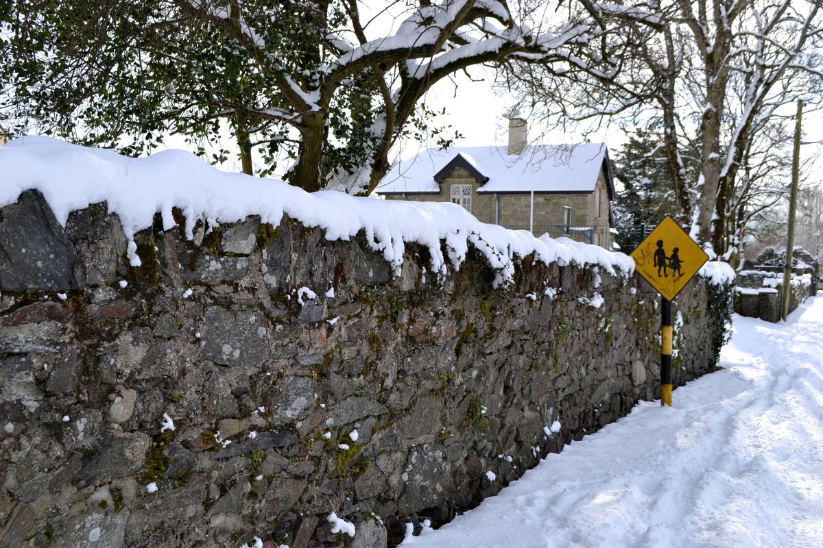 A children crossing sign on a snow covered lane in rural Ireland. The road is empty because school has been cancelled due to heavy snow. Rural Ireland slows down on a snowy day.
He said that the entire country is in for cold temperatures: “All areas will see below normal temperatures, but the coldest temperatures will always occur inland and in areas sheltered from the brisk northerly winds. In terms of potential snowfall, coastal counties of Ulster and North Connacht are most at risk, with 2-7cm possible in some parts, with up to 10cm over high hills.”The greatest impacts from this cold spell of weather will come in the form of icy roads, as precipitation from wintry showers freeze overnight, resulting in some treacherous driving conditions, Some routes in Ulster and North Connacht may experience snow as well, but impacts will be localised for now.”
Follow Cathal Nolan of Ireland’s Weather Channel for more updates, and check out www.met.ie for the latest forecasts.
Join our Dublin Live breaking news service on WhatsApp. Click this link to receive your daily dose of Dublin Live content.
We also treat our community members to special offers, promotions, and adverts from us and our partners. If you don’t like our community, you can check out any time you like. If you’re curious, you can read our Privacy Notice.
For all the latest news from Dublin and surrounding areas visit our homepage.