
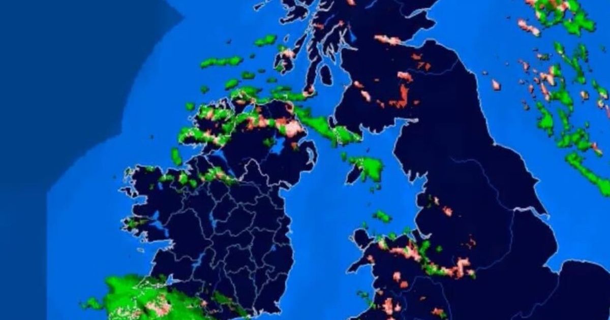
Snow has already started to fall in certain areas as the national forecaster warns of ‘treacherous conditions in places’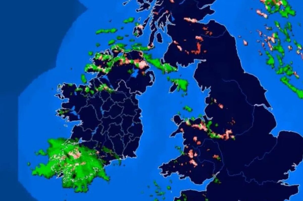 Snow has started to fall in a number of areas
The cold snap has truly taken hold as snow has begun falling in more counties this afternoon, January 4.
While the north and parts of the west had already experienced wintry showers, parts of Cork and Limerick have now seen snow fall as temperatures could plummet to lows of -6C overnight.
Met Eireann has issued multiple weather warnings from Sunday into Monday, before temperatures pick up from Tuesday.
A Status Yellow snow-ice warning for Cavan, Donegal, Monaghan, Connacht, Louth will be in place until 11am on Monday morning, while a Status Yellow low temperature/ice warning will remain valid for Carlow, Dublin, Kildare, Kilkenny, Laois, Longford, Meath, Offaly, Westmeath, Wexford, Wicklow and all of Munster throughout the same period.
You can follow the path of new snowfall using the interactive tracker below.
“Treacherous conditions in places for the rest of today with lingering frost and ice,” a Met Eireann spokesperson said. “Sunny spells and scattered wintry showers of sleet and snow will occur, mainly across north and northwest counties with local accumulations and perhaps the odd rumble of thunder.
“Rain will affect southwest counties for a time also, turning to sleet or snow over higher ground here. As well as this, a few snow flurries will feed into north Leinster later this evening, bringing the potential for a light dusting. Very cold with highest temperatures of only 1 to 5 degrees in light to moderate westerly winds.
“Very cold overnight with a widespread sharp to severe frost and icy stretches. Scattered wintry showers will continue, mainly in the North and West, with local snow accumulations and impaired visibility. A few well scattered snow flurries will also feed into the other areas too with a light dusting. Patches of fog or freezing fog may form also. Lowest temperatures of -6 to -1 degrees in light to moderate northwesterly winds.
“Monday will be another very cold and treacherous start with frost, ice and fog or freezing fog patches slow to clear. Some lying snow in places too, mainly across north and northwest counties. Dry and sunny day for most areas, with wintry showers mainly confined to north and northwest fringes by late morning. Highest temperatures of only 1 to 6 degrees in light to moderate northwest to west winds.”
Subscribe to our newsletter for the latest news from the Irish Mirror direct to your inbox: Sign up here.