
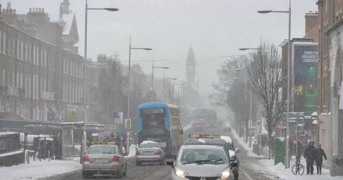
The Road Safety Authority has urged drivers wto stay alert and stay visible amid dark and icy conditions, as a possible combination of snow, sleet, rain and freezing temperatures may create a dangerous road environment Snow in Dublin (stock)(Image: Artur Widak/NurPhoto via Getty Images)
Ireland is under a cold snap, with freezing temperatures and icy conditions being experienced across the island.
One forecaster has predicted the possibility of snow showers, sleet and some rain scattered across the country. Cathal Nolan of Ireland’s Weather Channel also forecasted low temperatures of -6C.
He added that the cold conditions and combination of rain and freezing temperatures could lead to some treacherous driving circumstances. He said drivers should take the necessary precautions to ensure their safety.
“Be very careful out and about on the roads today, there are icy conditions in place, treacherous conditions describe the many parts so do slow down, allow extra time for your journeys and just be safe out and about,” he said.
Icy temperatures will dominate this week, and “exceptionally cold conditions” and flurries of snow will be seen. “Some further accumulations of snow likely and across the remainder of the country it’ll remain very cold, frosty, icy conditions.
“In terms of the forecast, it becomes a little bit less cold over the next couple of days. We see a front pushing in later on through the early hours of tomorrow morning, but not before we see frost developing again this evening and tonight. But that front pushes in, a little hill sleet possible in places, but generally speaking it’s going to fall as rain.
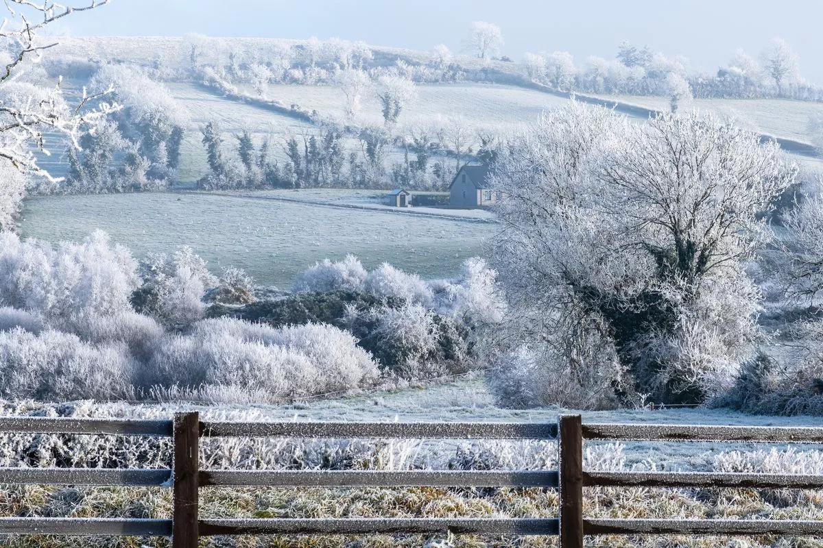 A snowy landscape with a fence in the foreground. The fence is covered in snow and the trees are bare. The scene is peaceful and serene, with the snow covering the ground
“Unfortunately, that looks to clear away tomorrow evening and overnight, allowing temperatures to drop back below freezing. That will lead to very icy conditions once again tomorrow night and into Wednesday morning before we see another front pushing down from the north west possibly bringing a little hill snow, some sleet at lower levels but generally speaking rain as well before that clears away too and the potential for further icy conditions develops on Wednesday night.”
He added that the forecast is less clear was we move in to Thursday, with a “question mark” over whether or not the dramatically low temperatures will remain and if “heavy snow” may move in: “The GFS and UK Met Office models this morning pushed that low pressure system across the country, bringing with it the risk of some heavy snow in places, but also, generally speaking, I think it would be more so hill snow, maybe sleet or rain at lower levels, but hill snow potentially. So disruption to some areas possible based on those two models.
“The ECMWF, however, keeps that low pressure system more so to the south, pushes it in across parts of Wales and England, and they see the risk of a wintry mix of rain, sleet and snow. Snow most likely across higher ground hills, mountains, but still the potential for disruption. Strong wind speeds potentially associated with that load depending on its track. The GFS UK Met Office model would bring stronger winds into Ireland over 100km per hour winds but also the ECMWF keeps it to the south and keeps those stronger winds for parts of England, Wales and through the English Channel and across parts of Northern France.”
The Road Safety Authority has urged drivers wto stay alert and stay visible amid dark and icy conditions. “All road users, always do everything we can to stay visible and safe in dark and icy conditions.”
Drivers: Turn on your lights and ensure they’re working. Watch for pedestrians and cyclists, especially in poorly lit areas. Stay alert, reduce speed, and be mindful of fatigue.
Pedestrians and cyclists: Wear bright or reflective clothing. Stay in well-lit areas, where possible and use designated crossings.
All road users: Stay alert and look out for one another.
Follow Cathal Nolan of Ireland’s Weather Channel for more updates, and check out www.met.ie for the latest forecasts.
Join our Dublin Live breaking news service on WhatsApp. Click this link to receive your daily dose of Dublin Live content.
We also treat our community members to special offers, promotions, and adverts from us and our partners. If you don’t like our community, you can check out any time you like. If you’re curious, you can read our Privacy Notice.
For all the latest news from Dublin and surrounding areas visit our homepage.