
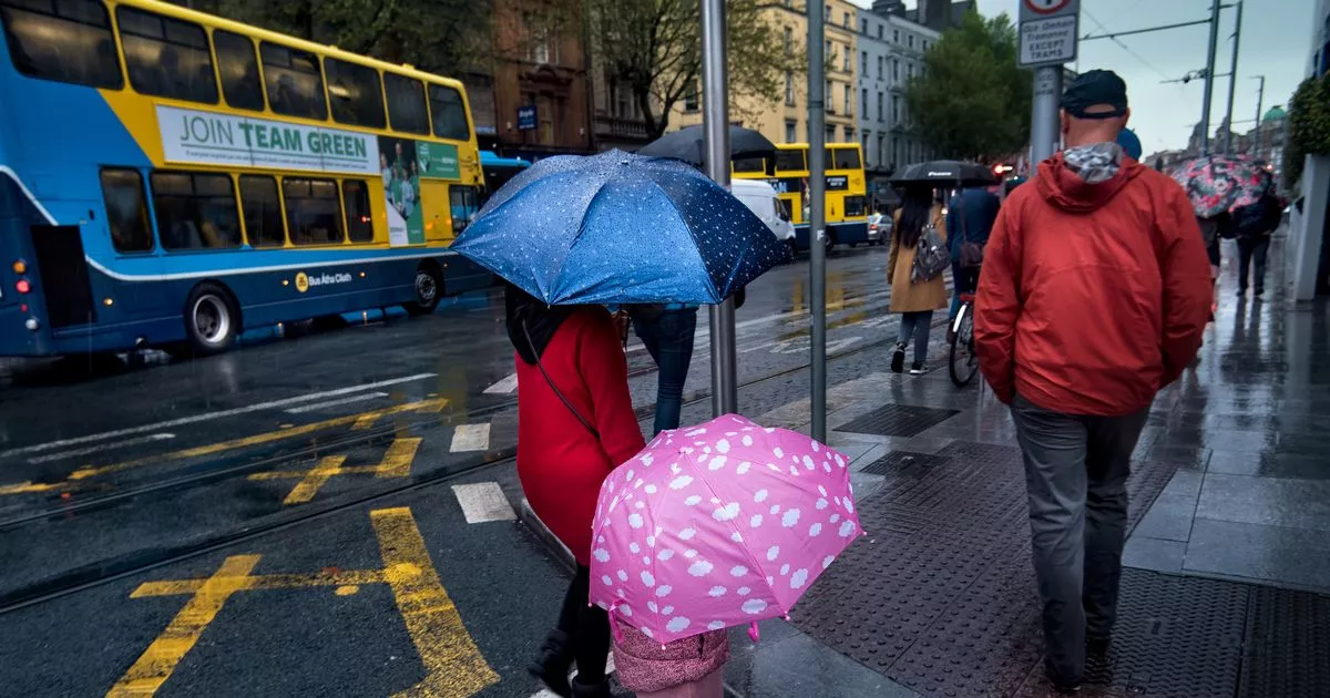
The weather may move from icy and snowy to rainy and windy as the week goes on, though the potential for stormy conditions is likely to miss Ireland but may still cause travel disruption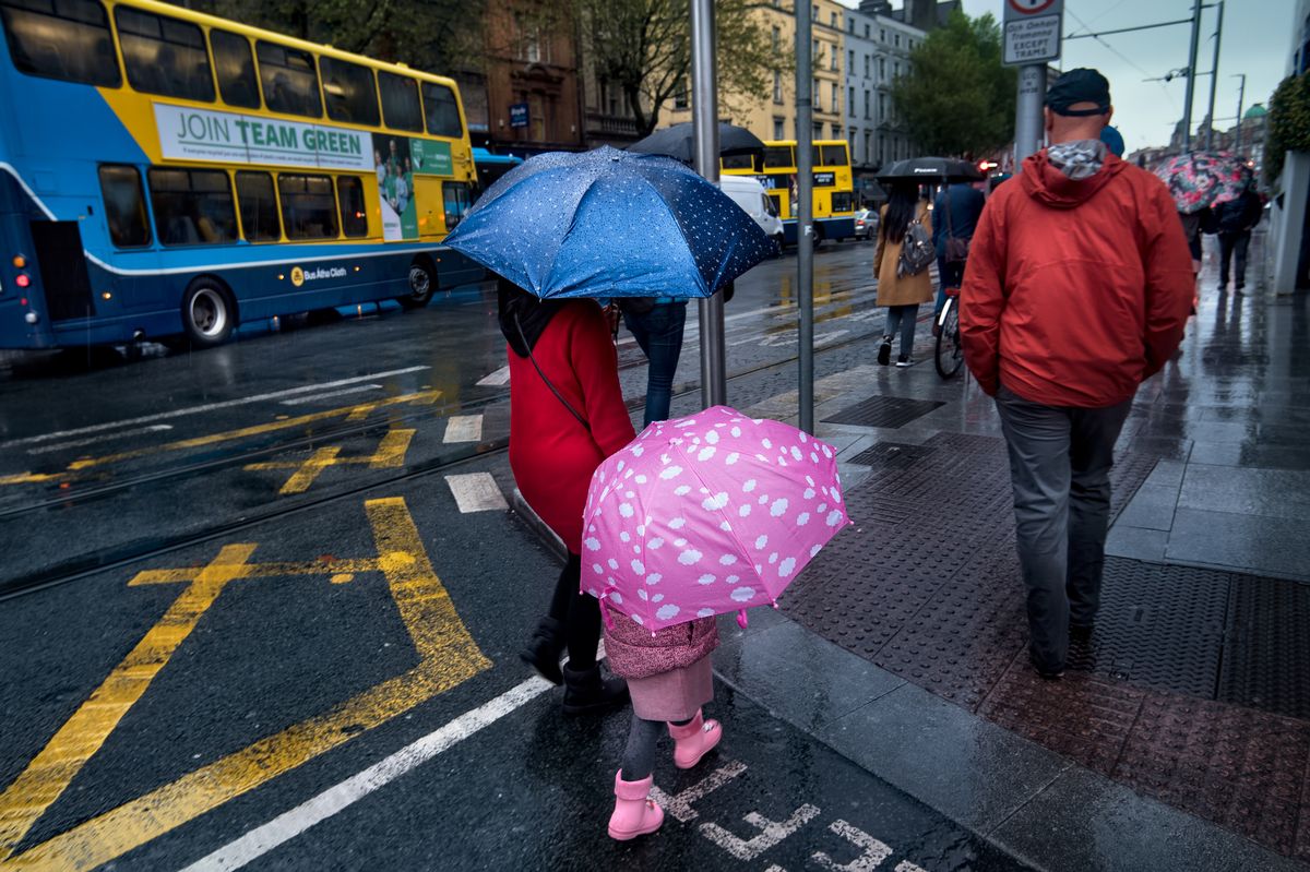 Dublin, Ireland – 05/27/2019: Mother and daughter using polka dotted umbrellas during a rain shower as they cross a street in Dublin, Ireland.
A weather forecaster has warned of potential disruption to travel plans as a big change is due in the weather this week.
While frost, low temperatures and even snow ushered in the new year, on Thursday a change may see Ireland experience wetter weather, with showers of rain and drizzle expected. These rain showers may be heavy in places.
Cathal Nolan of Ireland’s Weather Channel warned of travel disruption to flights and ferries, as snow in the UK and gales along the English Channel may cause issues. Despite the move to rainier conditions, he warned that “it is still cold and frosty along the east and south east so watch out for some of that residual ice that is still in place.”
“It is a pretty overcast picture across the country at the moment, we have a cold front pushing in from the North West. It is bringing a rise in temperatures and some outbreaks of rain with a little bit of sleet mixed in as well,” he said, in his latest forecast via Facebook.
“In to tomorrow it is a little bit of a repeat scenario. We have a ridge of high pressure here which will mean a mostly dry and settled day across the Midlands, Ulster and south-east Leinster, but we have another front here sliding down from the north west here. It is very weak but will bring some outbreaks of rain and drizzle, but not an awful lot.”
He added that previously mentioned stormy conditions are unlikely to impact Ireland on Thursday: “Thankfully it looks like that system will stay to the south as indicated. Some heavy rain is possible in areas like Cork, Kerry, Waterford and Wexford, with some hill snow possible.” The forecaster warned that snow in the UK may bring some travel disruption when it comes to flights or ferries due to the possibility gale and “hurricane force” winds in the channel.
“Wales and England are likely to have some disruptive snow on Thursday night, going in to Friday morning. That could have one or two issues if anyone is flying in to areas like south Wales or indeed into parts of the midlands or perhaps even in to north London as well, areas like Luton airport.”
“If you have any ferries as well, please do keep an eye out on your ferry provider companies as there are severe gales, potentially hurricane force winds, expected for a time through the English channel. Ferries could be disrupted, just keep an eye on that.”
On Thursday night, he predicted heavy and possibly wintery showers, but mostly settled conditions. Settled conditions may then extend into Friday and Saturday. Met Eireann said that there is still much “uncertainty” when it comes to conditions on Thursday: “Current indications are that while there will be rain and drizzle further south, there will be drier and possibly brighter conditions further north with just some coastal showers. Highest temperatures of 3 to 7 degrees, with light variable winds becoming northwesterly and increasing light to moderate through the day.”
Follow Cathal Nolan of Ireland’s Weather Channel for more updates, and check out www.met.ie for the latest forecasts.
Join our Dublin Live breaking news service on WhatsApp. Click this link to receive your daily dose of Dublin Live content.
We also treat our community members to special offers, promotions, and adverts from us and our partners. If you don’t like our community, you can check out any time you like. If you’re curious, you can read our Privacy Notice.
For all the latest news from Dublin and surrounding areas visit our homepage.